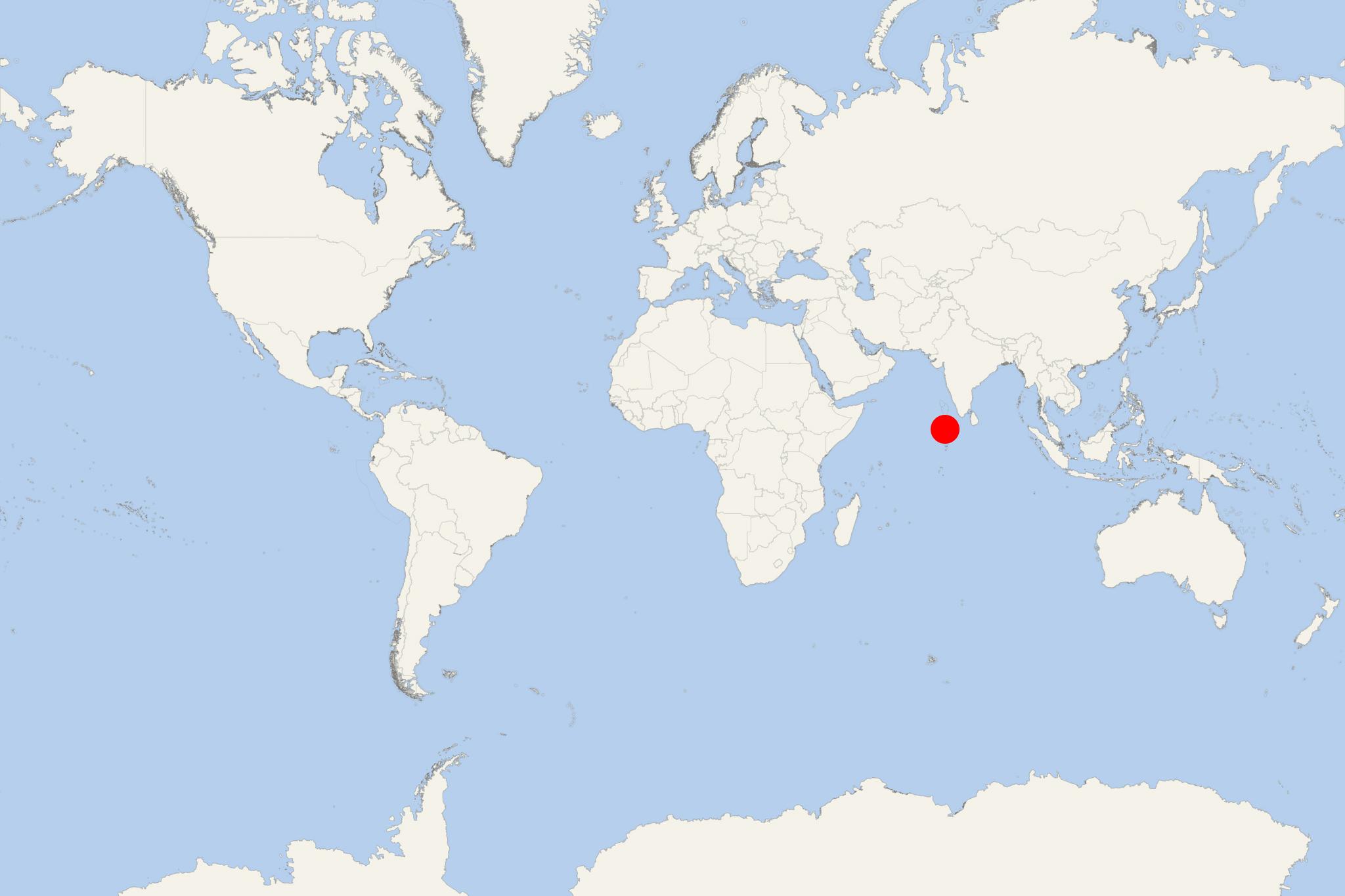
Baa Atoll (Maldives)
Cruise Port schedule, live map, terminals, news
Region
Africa - Indian Ocean Islands
Local Time
2025-02-14 03:26
 81°F
81°F 27.2°C

 Gentle breeze
4.5 m/s
 83 °F / 29 °C
 81 °F / 27 °C
Baa Atoll is located in the Maldives' western part. It consists of 75 islands (57 uninhabited, 13 inhabited / population around 12,000), plus 8 island resorts. Baa Atoll is divided into 2 roughly circular sub-atolls, separated by the narrow Moresby Channel.
The atoll has a length of approx 46 km (29 mi), width approx 38 km (24 mi), covers a total area of 1127 km2 (435 mi2) and has a total population of around 9,000. Baa Atoll's marine area is sized approx 1397 km2 (539 mi2).
It is formed by over 105 coral reefs, with a total surface of 263 km2 (102 mi2). On 61 islands, the reefs are provided with vegetation and some sandy cays.
The biggest is the Dharavandhoo Island (0,46 km2 / 0,18 mi2, where the atoll's airport is located), followed by Kunfunadhoo Island (0,35 km2 / 0,14 mi2).
The atoll's highest elevation point is on Funadhoo Island - 3,19 m (10,5 ft) above sea level.
Kendhoo island has a small harbour serving mainly cargo ferries and small boats.
Thulhaadhoo Island is known for its hand-made lacquer work crafts.
Maalhosmadulu Atoll is considered as one of the Maldives' richest biodiversity zones, featuring large mangroves and unique fauna (including benthic / found in the seabed). Its ring-shaped reef structure is unique to the Maldives.
Olhugiri Island (part of North Maalhosmadulu Atoll group) is the southernmost and uninhabited. It is located approx 13 km (8 mi) north of Goifulhafehendhu Atoll. Olhugiri Island has unique vegetation and provides 2 of the Maldives perching sites for great frigatebirds (large seabird species). Its fauna also features various marine species, including hawksbill sea turtles. Maldives Government has banned catching sea turtles or taking their eggs from Olhugiri Island. The ban additionally includes 11 more islands.
In 2011, Baa Atoll was designated a UNESCO World Biosphere Reserve, placing it in a list of the world's most popular tourist travel destinations, such as the Galapagos Islands (Ecuador), Komodo Island (Indonesia), Uluru (aka Ayer’s Rock, NT Australia).
Of all its islands, 38 are sized less than 0,1 km2 (0,04 mi2). These smaller islands constitute around 1/5 of the atoll's total land.
The next photo shows a typical uninhabited island in the Maldives.
Baa Atoll consists of 3 separate atoll groups:
South Maalhosmadulu Atoll is the largest, with a length of 42 km (26 mi) and a width of 32 km (20 mi). It consists of 9 inhabited islands.
Fasduthere Atoll is between the Maalhosmadulu Atolls. It is separated from North Maalhosmasdulu Atoll by the Moresby Channel.
Goifulhafehendhu Atoll (aka Horsburgh Atoll) is the smallest.
Part of Baa Atoll is the Kuda Finolhu Island resort - just 30-min seaplane travel from Male Airport (Kaafu Atoll), or an alternatively 15-min flight to Baa Atoll's Dharavandhoo Airport and then a 20-min speedboat ride to Kuda Finolhu.
Baa Atoll cruise terminal
Usually, cruise ships to Baa Atoll Maldives dock (anchor) at Hanifaru Bay. Hanifaru Bay (aka Vandhumaafaru Adi). This location is one of the world's few where whale sharks gather in large numbers to mate. The bay is also famous as a gathering place for manta rays (up to 100).
The next photo is of Dharavandhoo Airport - a domestic flight terminal serving the entire atoll.
The following map of the atoll shows all the islands as names and locations.
