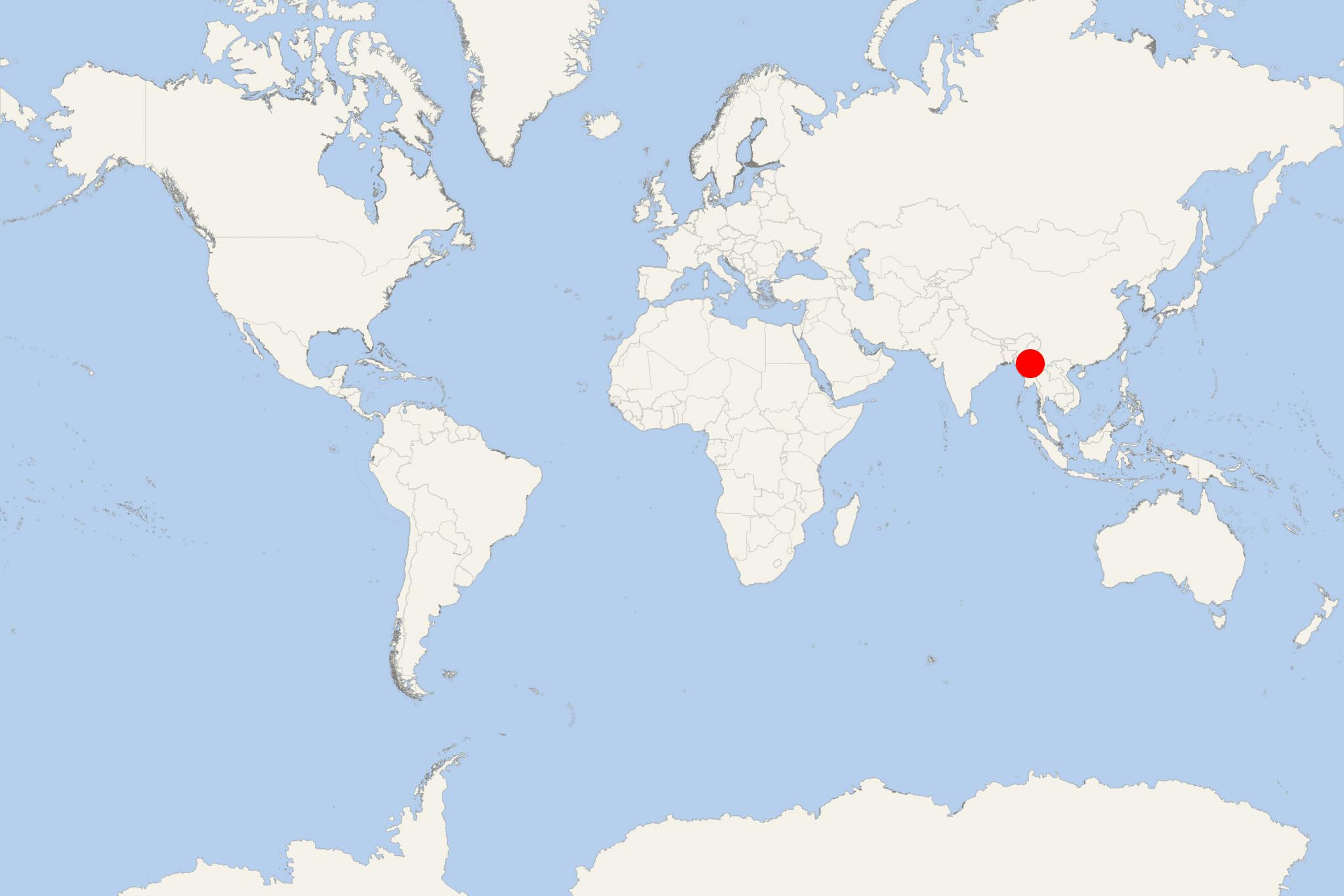
Amarapura (Myanmar)
Cruise Port schedule, live map, terminals, news
Region
Asia Rivers
Local Time
2025-04-05 02:45
 84°F
84°F 29°C

 Light breeze
2.5 m/s
 101 °F / 39 °C
 79 °F / 27 °C
Amarapura is the former capital of Myanmar. Now it is a township of Mandalay, bounded by Chanmyathazi township in the north, Irrawaddy river in the west, and the ancient capital site of Ava in the south.
Amarapura was twice the capital of Myanmar during the Konbaung period (1783–1821, 1842–1859) before in 1859 finally being displaced by Mandalay 11 km north. It is historically referred to as Southern City (Taungmyo) in relation to Mandalay. Today, Amarapura is part of Mandalay, which is the result of urban sprawl. It is famous for its traditional cotton and silk weaving, and bronze casting. Amarapura is also a popular day-trip tourist destination from Mandalay.
Sights of interest in Amarapura include the Pahtodawgyi (stupa built in 1816 by King Bodawpaya outside the city walls), Bagaya Monastery (wooden monastery that was founded by King Mindon), Kyauktawgyi Pagoda (stupa built in 1847 by King Pagan at the farther end of U Bein bridge), U Bein Bridge (1.2 km wooden footbridge which is the world's longest teak bridge, built by mayor U Bein salvaging unwanted teak columns from Amarapura's old palace during a move to Mandalay), Amarapura Palace ruins (tombs of King Bodawpaya, King Bagyidaw, and part of old moat), Chinese Temple (built 1838 during the reign of King Tharrawaddy), Maha Gandhayon Monastery (modern monastery complex well known throughout the country), Yadanabon University (major liberal arts university).
