Ambrym Island (Vanuatu)
Cruise Port schedule, live map, terminals, news
Region
Australia - New Zealand - Pacific Ocean Islands
Local Time
2024-11-22 19:23
 78°F
78°F 25.3°C

 Light breeze
3.1 m/s
 81 °F / 28 °C
 76 °F / 25 °C
Port Ambrym Island cruise ship schedule shows timetable calendars of all arrival and departure dates by month. The port's schedule lists all ships (in links) with cruises going to or leaving from Ambrym Island, Vanuatu. To see the full itineraries (ports of call dates and arrival / departure times) and their lowest rates – just follow the corresponding ship-link.
| Day | Ship | Arrival | Departure |
|---|---|---|---|
| 29 December, 2024 Sunday | |||
| 31 December, 2024 Tuesday |
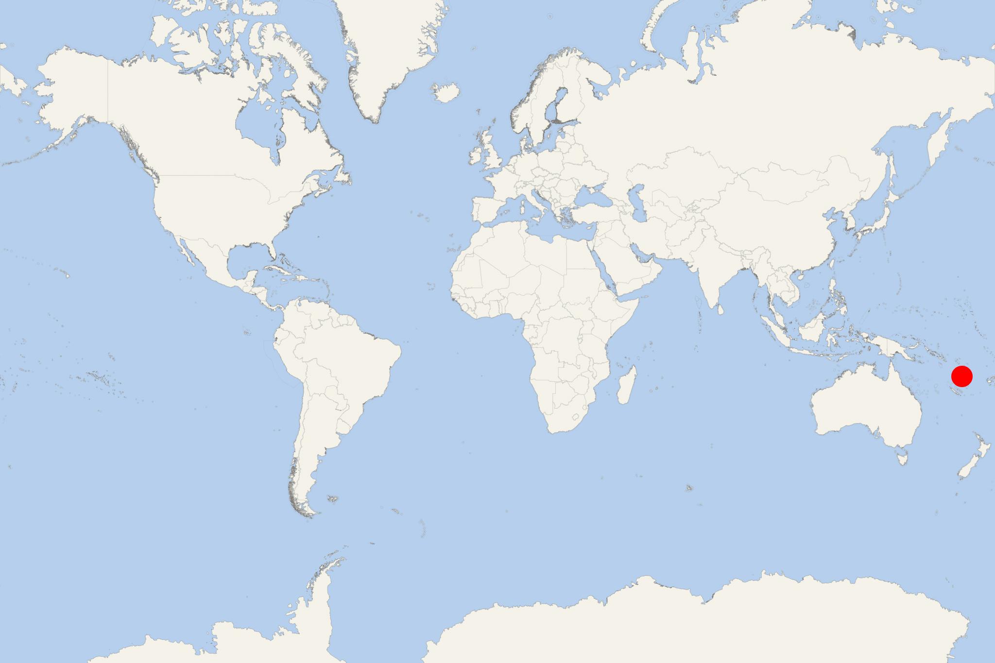
Ambrym Island is located in Vanuatu's Malampa Province. The island covers a total area of approx 678 km2 (262 mi2), ranking it Vanuatu's 5th largest. Its population (around 7,000) live mainly off coconut plantations in the 3 corners of the isle.
Ambrym's volcanic activity includes lava lakes in 2 craters close to the summit. The island was discovered in 1774 by James Cook (1728-1779 / Royal Navy Captain, explorer, cartographer). Located close to the center of Vanuatu archipelago, Ambrym is roughly triangular in shape, with a width of approx 50 km (31 mi). Island's summit is dominated by a desert-like caldera covering an area of 100 km2 (39 mi2). Excepting the human settlements, the rest of the island is covered by jungle.
The caldera measures 12x8 km (7,5x5 mi) and has 2 active volcanic cones (Marum and Benbow). Several times per century, Ambrym volcano makes destructive eruptions. Benbow's last eruption (in 1913) caused the evacuation of the locals to Mele, close to Port Vila (Efate Island).
In March 2017, Google Streetview added the Marum crater with its lava lakes. Ambrym Island attracts tourists with its active volcanoes, tropical vegetation, local customs, traditional accommodations (bungalows). The island can be accessed by sea (cruise ships and chartered tour boats) and also via two airports - Ulei (south-east coast) and Craig Cove (central-west coast). Both airports serve only domestic flights (by the flag carrier Air Vanuatu) linking to Luganville (Espiritu Santo), Malakula Island (Norsup) and Paama Island.
Ambrym Island cruise terminal
Vanuatu Islands (officially Republic of Vanuatu) is an island nation located in the South Pacific. The islands cover a total area of approx 12190 km2 (4706 mi2) and population around 290,000. Large cruise ships to Vanuatu Islands dock (anchor) either at Luganville or Champagne Bay (near Hog Harbour, in the northeast part of Espiritu Santo Island).
The archipelago is of volcanic origin and is situated some 1750 km (1090 mi) east of northern Australia, east of New Guinea, 540 km (340 mi) northeast of New Caledonia, west of Fiji and southeast of Solomon Islands.
The tourism industry in Vanuatu is a major revenue source as the archipelago is widely recognised as a premier vacation travel destination - especially for coral reef scuba diving. A unique attraction to scuba divers is the wreck of the US luxury cruise ship President Coolidge (converted troop carrier) on Espiritu Santo Island. Sunk during WW2 (1939-1945), the vessel is among the world's largest shipwrecks accessible for recreational diving.
