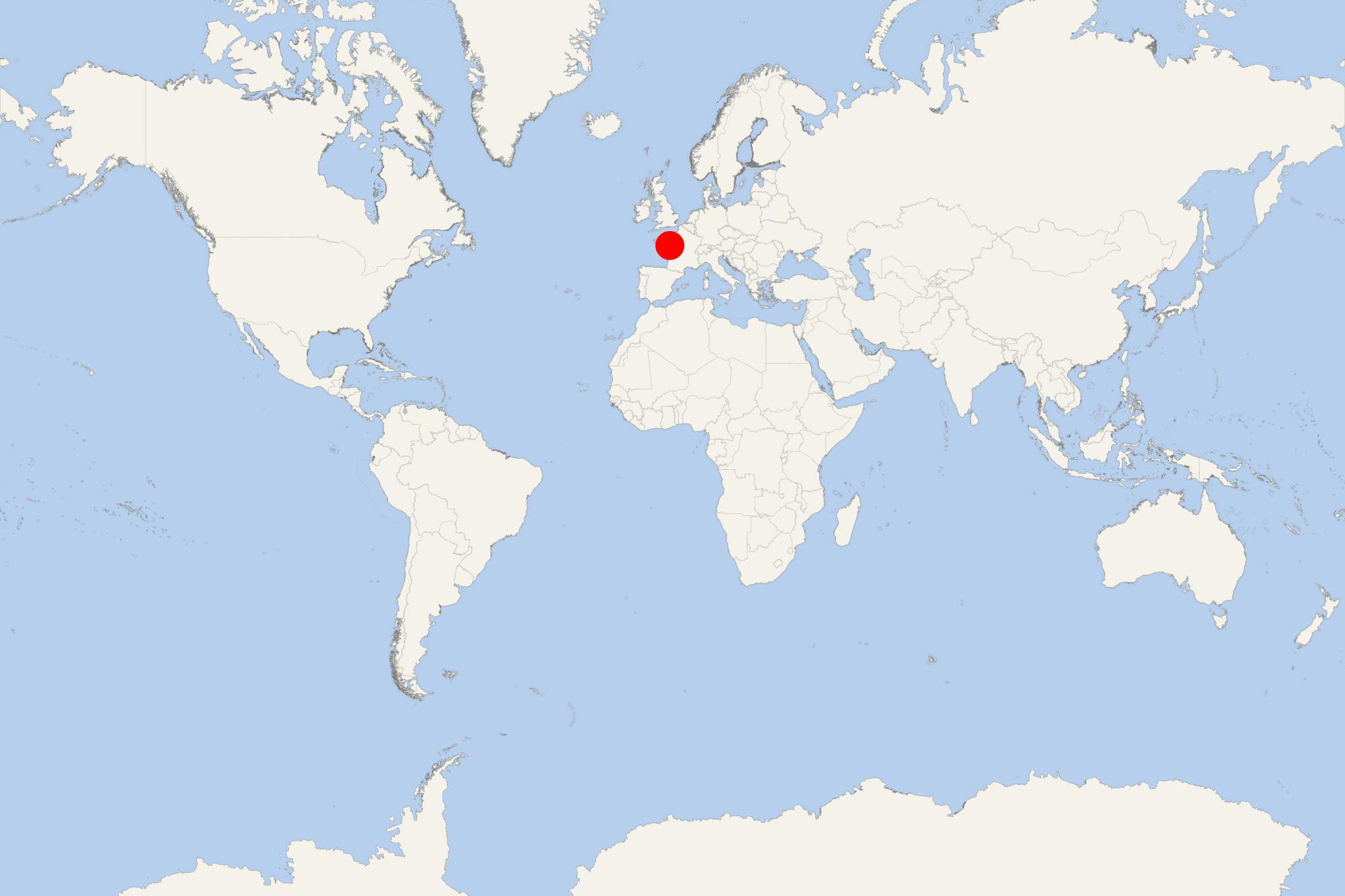
Angers (France)
Cruise Port schedule, live map, terminals, news
Region
France Rivers
Local Time
2025-04-02 22:50
 50°F
50°F 9.9°C

 Mod. breeze
7 m/s
 59 °F / 16 °C
 44 °F / 7 °C
Angers is a Maine River/Loire River cruise port and a city located in France's Pays de la Loire region (Maine-et-Loire département), located approx 300 km (190 mi) southwest of Paris City.
Angers is at the confluence of three rivers (Loire, Mayenne, Sarthe) - all flowing north to south and among Loire River's tributaries. Their confluence is north of Angers and creates Maine River which flows into the Loire. The city has total area approx 43 km2 (17 mi2) and population around 150,000 (metro around 410,000).
Before the French Revolution (1789-1799), Angers was Anjou province's capital. The city (without its metro area) is ranked northwestern France's 3rd largest and most populous - following Nantes and Rennes. It is also ranked as the 17th largest in France. The Angers Loire metropolis includes 33 communes and covers a total area of approx 540 km2 (208 ml2).
The city is Anjou's historical capital. For centuries, it was an important river port and stronghold. It is also the cradle of the House of Plantagenet (French royal house). During the reign of Rene of Anjou (1409-1480), it was one of Europe's most prominent intellectual centers.
The city has numerous museums and universities. Its old medieval center is dominated by the huge Plantagenets chateau, housing the Apocalypse Tapestry - the world's largest medieval tapestry. Angers is as well both at the edge of the World Heritage Site "Val de Loire" (Loire Valley) and the "Loire-Anjou-Touraine" natural park.
The Angers metro area is an important economic center in western France, especially active in the industrial sector, business tourism and horticulture.
- Cruise Industry

VIDEO: CroisiEurope’s paddlewheel riverboat Loire Princesse especially built for France’s Loire...
MS Loire Princesse is the only large riverboat on France’s Loire River due to her unique paddlewheel propulsion system. The CroisiEurope-owned...
August 14, 2021 - show more news
