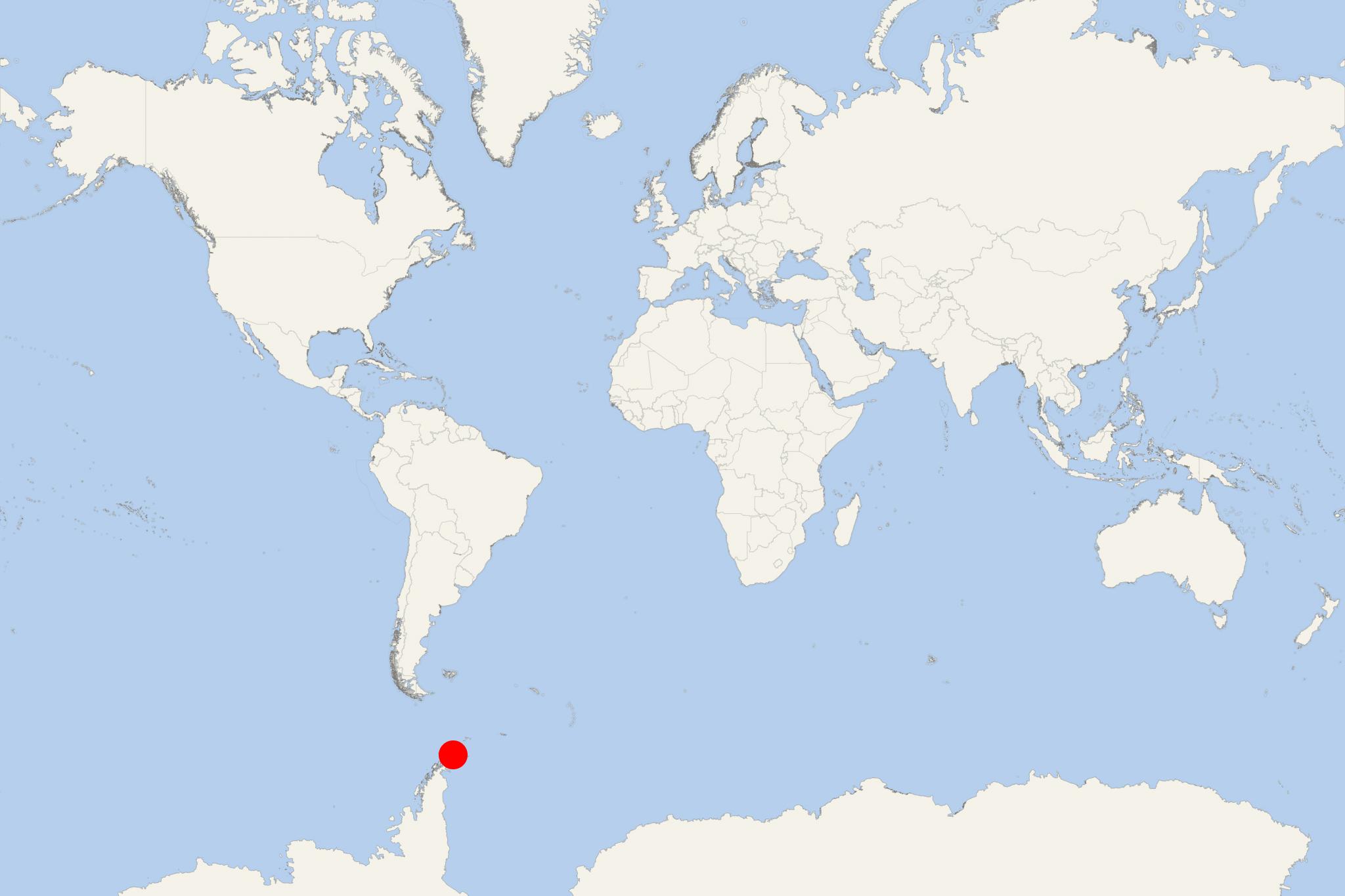
Astrolabe Island Antarctica
Cruise Port schedule, live map, terminals, news
Region
Arctic - Antarctica
Local Time
2025-04-02 06:54
 19°F
19°F -7°C

 Light breeze
2.4 m/s
 25 °F / -4 °C
 8 °F / -13 °C
CruiseMapper currently has no ship schedule for Port Astrolabe Island Antarctica ()
Astrolabe Island is a small island (length 5 km / 3 mi) located in Bransfield Strait, approx 23 km (14 mi) northwest of mainland Antarctica (Cape Ducorps of Trinity Peninsula). Its highest elevation point is 560 m (1837 ft).
The island was discovered during the French Antarctic Expedition (1837-1840) commanded by Jules Dumont d'Urville (1790-1842) and was named after the expedition's main ship Astrolabe (French Navy sailing vessel originally named Coquille). Astrolabe Island was first mapped during the Falkland Islands Aerial Survey Expedition (1955–1956).
