Beagle Channel (Glacier Alley, Chile Patagonia)
Cruise Port schedule, live map, terminals, news
Region
Arctic - Antarctica
Local Time
2025-04-12 12:44
 34°F
34°F 1.1°C

 Gentle breeze
5 m/s
 37 °F / 3 °C
 22 °F / -5 °C
Port Beagle Channel cruise ship schedule shows timetable calendars of all arrival and departure dates by month. The port's schedule lists all ships (in links) with cruises going to or leaving from Beagle Channel, Glacier Alley, Chile Patagonia. To see the full itineraries (ports of call dates and arrival / departure times) and their lowest rates – just follow the corresponding ship-link.
| Day | Ship | Arrival | Departure |
|---|---|---|---|
| 19 October, 2025 Sunday | |||
| 24 October, 2025 Friday | |||
| 28 October, 2025 Tuesday | |||
| 30 October, 2025 Thursday |
Beagle Channel (aka Glacier Alley) is surrounded by the Darwin Mountain Range peaks and the breathtaking view of D`Aggostini National Park. This narrow strait in Tierra del Fuego is named after HMS Beagle, a British ship that first surveyed the area during its world circumnavigation (1826-1830).
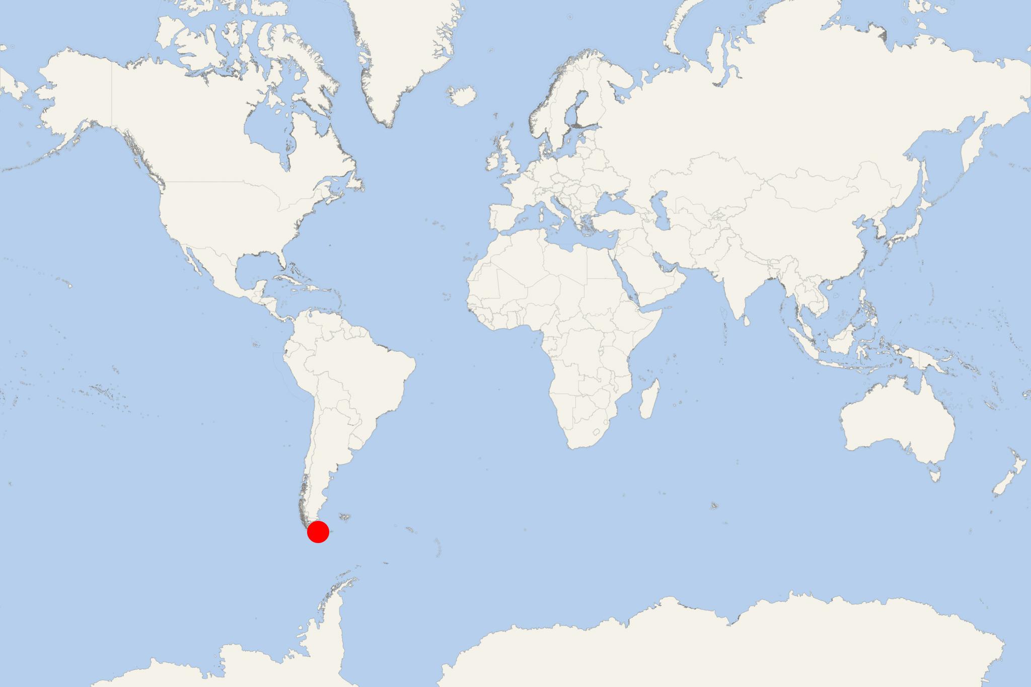
Beagle Channel is located in Chile's Tierra del Fuego province, close to South America's southern tip. It separates the Tierra del Fuego's Isla Grande from the archipelago's southernmost islands, among which are Hoste; Londonderry, Navarino; Picton-Lennox-Nueva. At approx 31 mi (50 km) from its western end, the strait divides into 2 branches - north and south of the Gordon Island. The southwest branch (between the islands Hoste and Gordon) enters the Pacific Ocean at Cook Bay. The northwest branch (between the islands Isla Grande and Gordon) enters the Darwin Sound - connecting it to the Pacific Ocean by the channels O'Brien and Ballenero. The two biggest port towns on Beagle Channel are Ushuaia (Argentina) and Puerto Williams (Navarino Island, Chile).
The strait provides a sheltered passage between the Pacific Ocean and the Atlantic Ocean. Its western part is wholly inside Chile, while its eastern part forms a boundary between Chile (south) and Argentina (north).
Beagle Channel has a length of approx 150 mi (240 km) and width between 3-8 mi (5-13 km). As cruise ships sail through its north-western (Chilean) branch (the so-called "Glacier Avenue" or "Glacier Alley"), passengers can enjoy the mesmerizing views of the world-famous glaciers named Alemania, Francia, Holanda, Italia, and Romanche (among others). All these blue-iced glaciers fall from heights of over 1000 ft (300 m) down to the water below.
Beagle Channel, along with the Magellan Strait (to the north) and the Drake Passage (to the south) are the only navigable seaways (passages) around South America. However, most large-sized commercial (cargo shipping) vessels operate on itineraries via Drake Passage or Strait of Magellan. Under the 1984's Treaty of Peace and Friendship between Argentina and Chile, marine vessels (including cruise ships) of other nations are allowed to navigate these waters only with a Chilean pilot on board.
- Cruise Industry

HAL-Holland America unveils 2024-2025 South America, Antarctica and the Amazon River itineraries
HAL-Holland America Line's South America 2024-2025 season invites passengers to embark on an adventure that takes them across the diverse landscapes...
April 6, 2023 - Cruise Industry

Costa Cruises' ship Deliziosa departs on around-the-world voyage
Costa Cruises' world voyage 2023 will explore 52 destinations on 4 continents in a total of 128 days, crossing 3 oceans, with an unprecedented...
January 9, 2023 - Cruise Industry

Atlas Ocean Voyages hosts dual naming ceremony for World Navigator and World Traveller ships
AOV-Atlas Ocean Voyages celebrated a milestone weekend with the christening ceremonies for its new sisterships World Navigator and World...
November 22, 2022 - Cruise Industry

Silversea Cruises unveils Puerto Williams (Chile) as new departure port
Starting in November 2021 Silversea Cruises will debut Puerto Williams (Navarino Island, Chilean Antarctica), as the brand's new homeport for the...
May 2, 2021 - Cruise Industry

HAL-Holland America Line’s 2022-2023 Grand Voayges (Africa, South America and Antarctica, World...
Three HAL-Holland America Line's World Cruises - Grand Africa Voyage 2022, Grand World Voyage 2023, and Grand South America and Antarctica Voyage...
January 27, 2021 - show more news
