Bonaventure Island (Quebec Canada)
Cruise Port schedule, live map, terminals, news
Region
East Coast USA and Canada New England
Local Time
2025-03-10 05:20
 17°F
17°F -8.1°C

 Gentle breeze
4.1 m/s
 25 °F / -3 °C
 14 °F / -9 °C
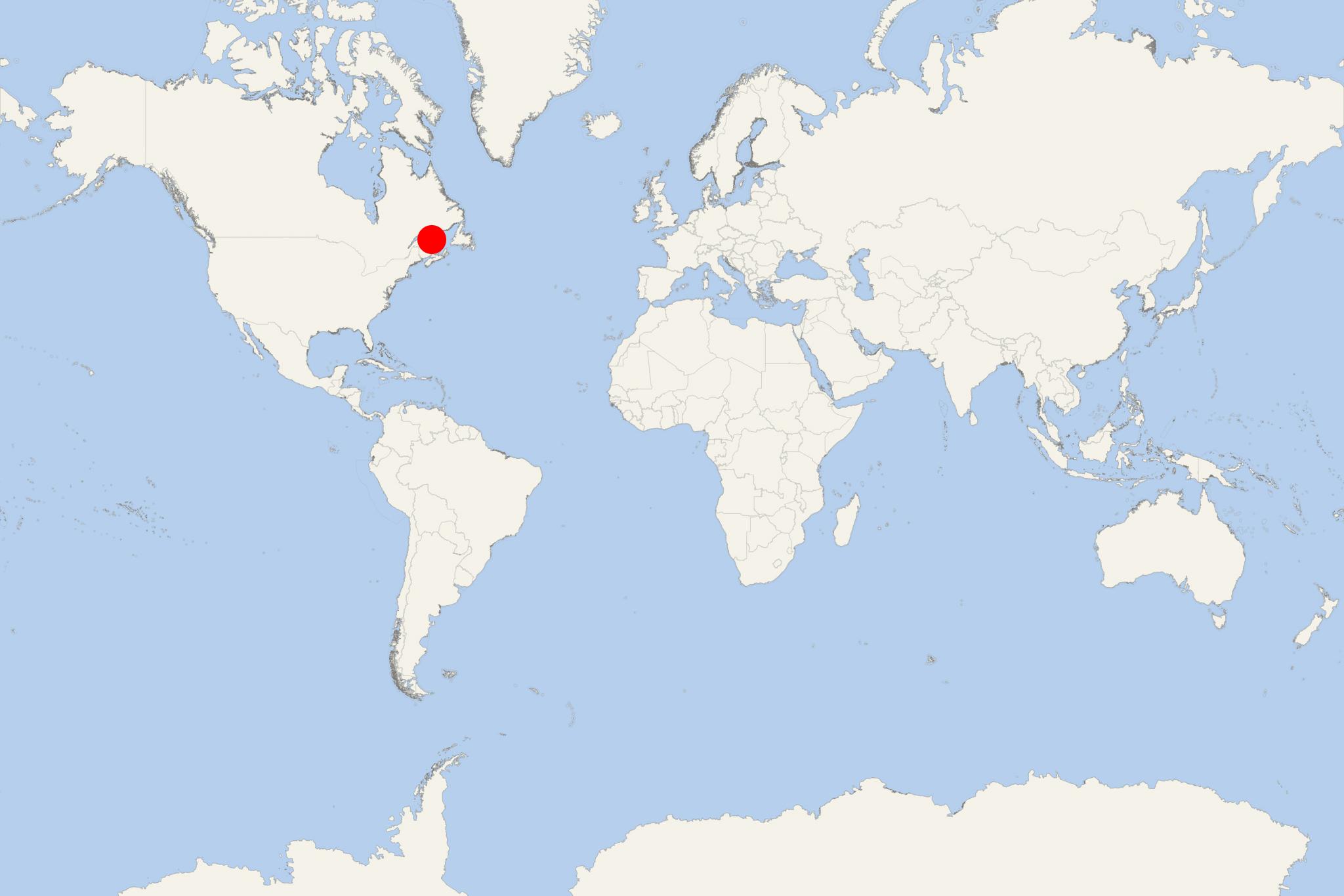
Ile Bonaventure Island is located in the Gulf of St Lawrence, approx 3,5 km (2 mi) off Gaspe Peninsula (Quebec, Canada). The island is circular and has land area approx 4 km2 (1,6 mi2).
Island's first inhabitants were from southern Ireland (late 18th century). Since 1919, the island is designated a migratory bird sanctuary (following a convention between USA and Canada signed in 1916). The island is state-owned (by Quebec) since 1971 when all residents (35 families) were evicted.
The established in 1985 "Bonaventure Island and Perce Rock National Park" is one of the world's largest bird sanctuaries, with over 280,000 birds (218 different species), Among the most common seabird species, are northern gannets, black-legged kittiwakes, common murres. terns, black guillemots, gulls (herring, great black-backed), razorbills, storm-petrels, cormorants, puffins, boreal chickadees, blackpoll warblers.
Ile Bonaventure is a very popular boat tourism destination during summer (May through October).
