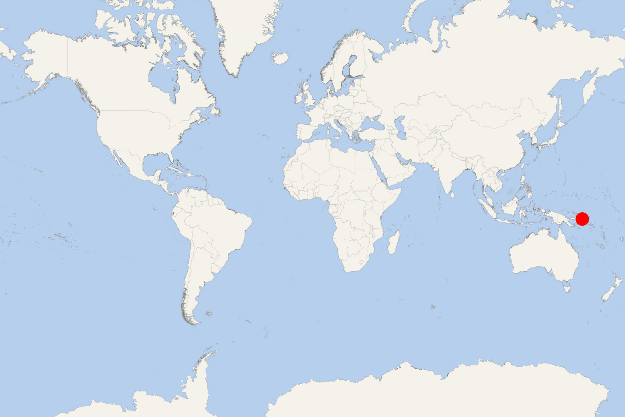
Bougainville Island PNG (Kieta, Papua New Guinea)
Cruise Port schedule, live map, terminals, news
Region
Australia - New Zealand - Pacific Ocean Islands
Local Time
2025-04-24 16:57
 80°F
80°F 26.6°C

 Very Light
1 m/s
 85 °F / 30 °C
 71 °F / 22 °C
Bougainville Island PNG is the main and largest island in Papua New Guinea's Bougainville Province (aka North Solomons). The island has population around 235,000 and highest elevation point (Mt Balbi) 2700 m (8860 ft). By land area (approx 9300 km2 / 3591 mi2) Bougainville is the largest in the archipelago of Solomon Islands.
The island was discovered by and named after Louis-Antoine, Comte de Bougainville (1729-1811) - a French admiral and explorer who landed here in in 1768. In the 19th-century (1822-81) the island was used mainly as a provisioning stop for British and US whaling ships. It was annexed by Germany in 1899 as part of the German New Guinea. During WW1 (1914-18), German New Guinea was occupied by Australia and after the war ceded to Australia (as Territory of New Guinea). In 1942 (during WW2 / 1939-45) Japan invaded and occupied the island (until 1945). Following the war, the Territory of New Guinea was returned to Australia. In 1949, Australia's Territory of New Guinea and Territory of Papua were merged to form the Territory of Papua and New Guinea (Australian colony). In 1975, Australia issued the Papua New Guinea Independence Act with wich terminated its sovereign power over PNG.
Bougainville Island PNG cruise terminal
Cruise ships to Bougainville Island PNG dock (anchor) at Kieta - port town on the eastern coast.
