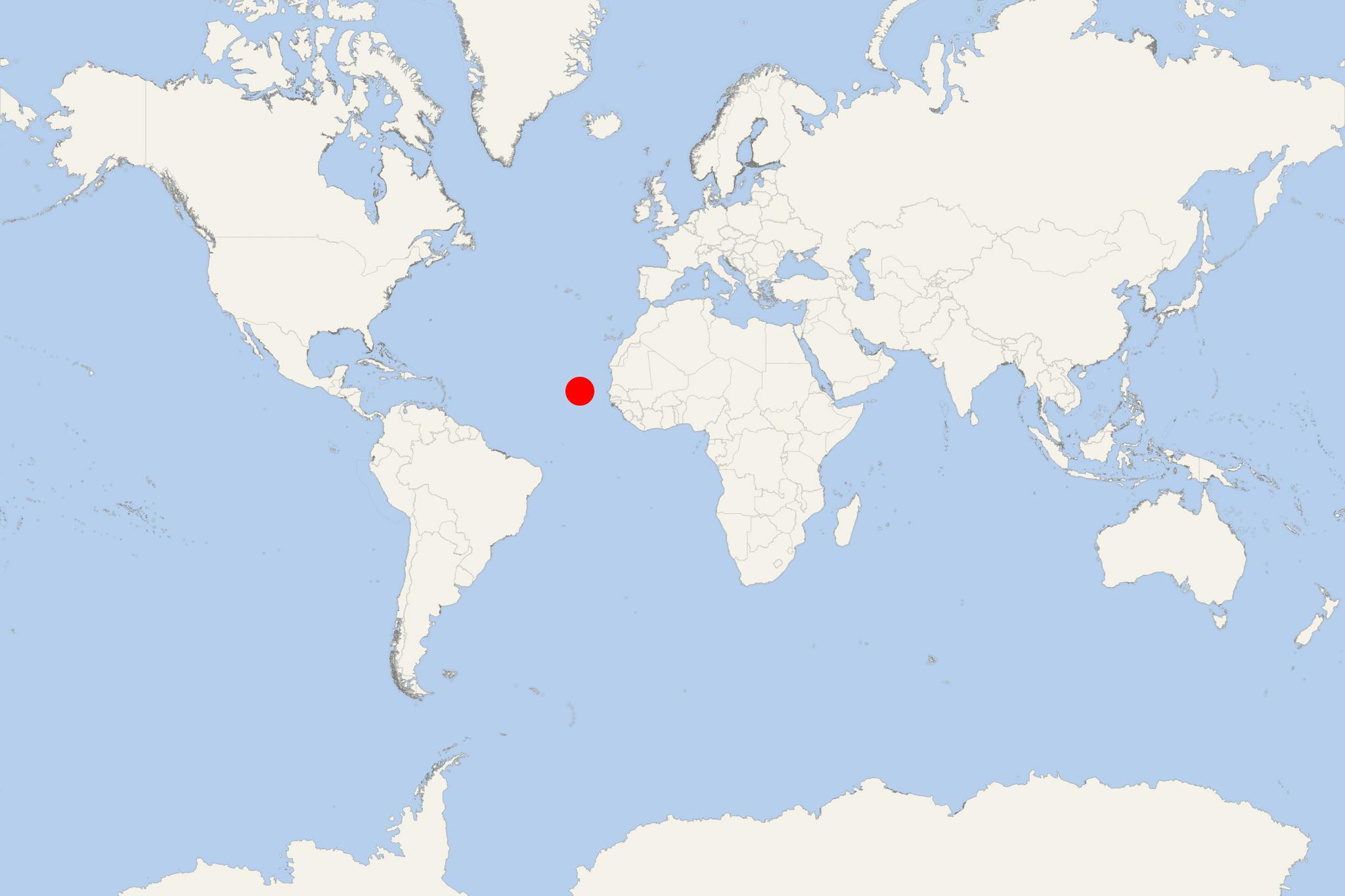
Brava Island (Furna, Cape Verde)
Cruise Port schedule, live map, terminals, news
Region
Africa - Indian Ocean Islands
Local Time
2025-04-15 18:51
 71°F
71°F 21.9°C

 Strong breeze
11.7 m/s
 74 °F / 24 °C
 69 °F / 21 °C
CruiseMapper currently has no ship schedule for Port Brava Island (Furna, Cape Verde)
Brava Island (which name means “wild”) is one of the Sotavento group's Cape Verde Islands. Officially the Republic of Cabo Verde, this island country spans an archipelago of ten islands located in the central Atlantic Ocean.
- Brava Island has a total population of around 6,000, land area of 67 km2 (26 ml2), length of 24 km (15 ml), width of 16 km (10 ml) and highest elevation point (Monte Fontainhas) 976 m (3202 ft).
- Brava is the smallest but the greenest inhabited island of Cape Verde. First settled during the 1540s,
- The island's population grew after the volcano Mount Fogo on the neighbouring Fogo Island erupted in 1675.
- The Island's main industry was whaling, but today it is primarily agriculturel.
- Brava Island never had a lot of tourism, but it's slowly booming. The isle is unsuitable for beach tourism as the steep shoreline doesn't allow many beaches.
Brava Island cruise terminal
Cruise ships to Brava Island Cabo Verde dock (anchor) at Furna - port town on the northeastern coast.
