Cartwright NL (Newfoundland-Labrador Canada)
Cruise Port schedule, live map, terminals, news
Region
East Coast USA and Canada New England
Local Time
2024-11-21 19:03
 34°F
34°F 1°C

 Mod. breeze
7.8 m/s
 37 °F / 3 °C
 32 °F / 1 °C
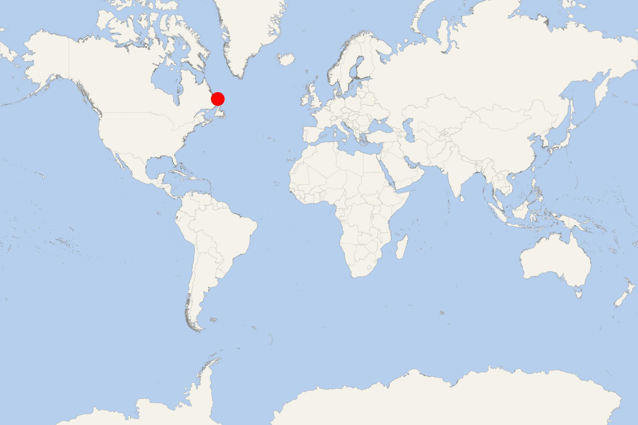
Cartwright NL is a small port town on Labrador Island (Sandwich Bay's entrance) in Canada's Newfoundland and Labrador province. By population (around 700) it is currently ranked the largest in Labrador's Inuit territory NunatuKavut, which capital is Vali/Happy Valley-Goose Bay (on Lake Melville and Churchill River).
As cruise port, Cartwright NL is visited by smaller-sized luxury ships and superyachts. The town is road-connected to Blanc-Sablon (Quebec's Cote-Nord region) - via Route 516 (aka Cartwright Highway, 58-mi/94-km long section of TLH-Trans-Labrador Highway, which has total length 714 mi / 1149 km). Regularly scheduled ferries link Cartwright with St Johns (Newfoundland Island) and Happy Valley-Goose Bay.
To the west of Cartwright is Earl Island, to the northeast is Huntingdon/Hunter Island.
The settlement was founded in the late-18th-century (1775) by George Cartwright (1739-1819, British army officer, trader, explorer) and named after him. Cartwright NL was founded and developed as a fish and fur trading post and was sold to HBC-Hudson's Bay Company (1670-founded as a fur trading company) in 1873. The town was incorporated in 1956.
