Chanaral Island (Chile)
Cruise Port schedule, live map, terminals, news
Region
South America
Local Time
2025-04-03 04:07
 60°F
60°F 15.6°C

 Gentle breeze
5.2 m/s
 63 °F / 18 °C
 59 °F / 15 °C
CruiseMapper currently has no ship schedule for Port Chanaral Island (Chile)
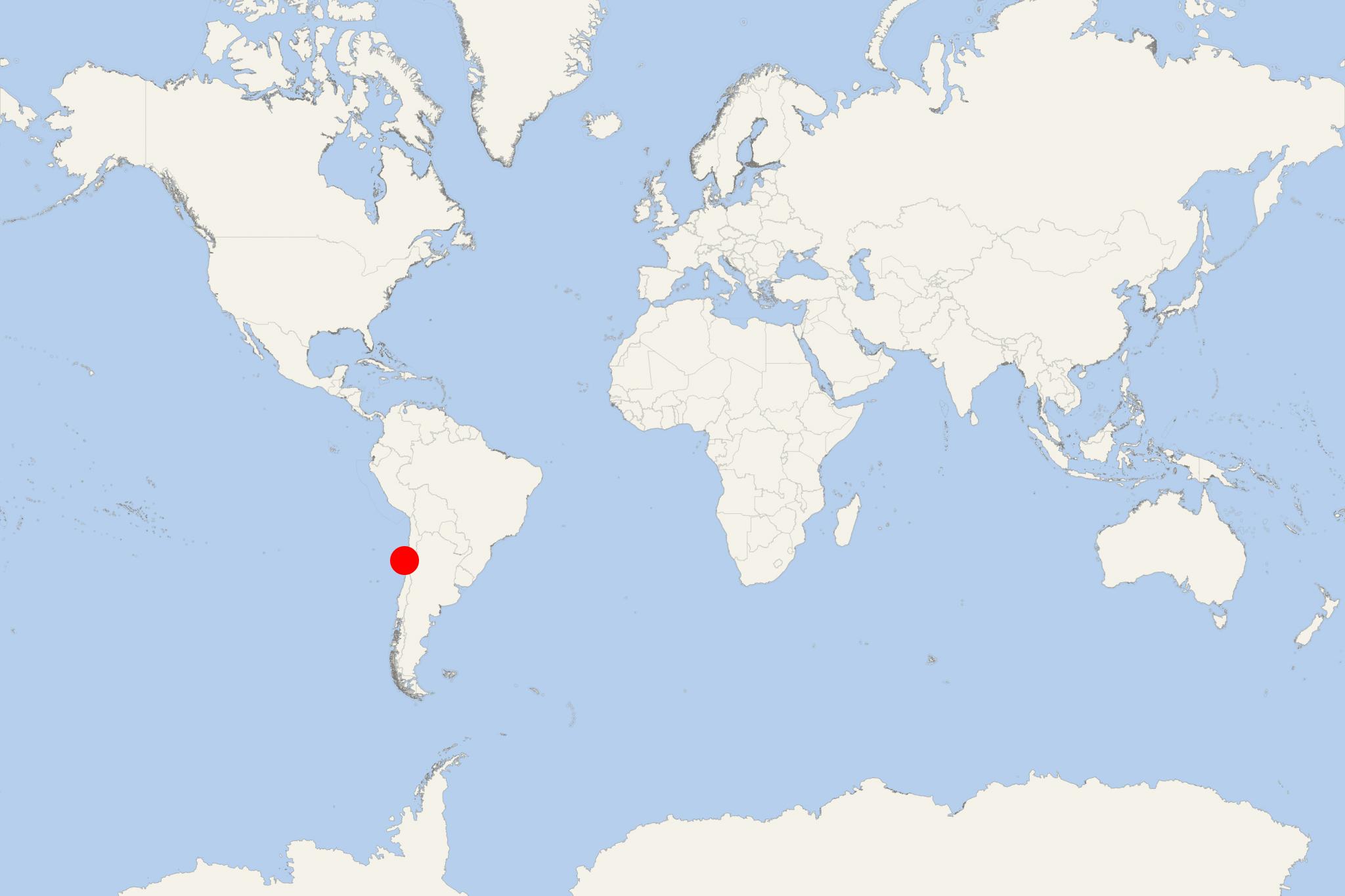
Chanaral Island (officially Isla Chanaral) is located approx 100 km (60 ml) north of La Serena Chile - port city and capital of Coquimbo Region. The island is located approx 6 km (4 ml) off-shore from northern Central Chilean coast (mainland South America). It covers a total area of approx 7 km2 (2,5 ml2).
- Together with the islands Choros and Damas, the three isles form the Humboldt Penguin National Reserve. The park is administered by Chilean Forestry Corporation (CONAF).
- Chanaral has the world's biggest colony of Humboldt penguins living there. All the three islands have Humboldt penguin populations, but also are habitat for other rare and endangered species, like the Peruvian diving petrel and the South American marine otter.
- Humboldt Penguin National Reserve enjoys a strong and steady increase in tourism. This mainly because of the presence of bottlenose dolphins in the area.
- Isla Chanaral is the reserve's largest island and accessible by permit only. The island's landscaoe features two plateau levels, the main of which is 50-70 m above sea level. It is divided into western and eastern part by the second plateau (over 100 m above sea level). Vegetation is dominated by cacti and shrubs. The high plateau looks pretty barren, with just a few cactus aggregations.
