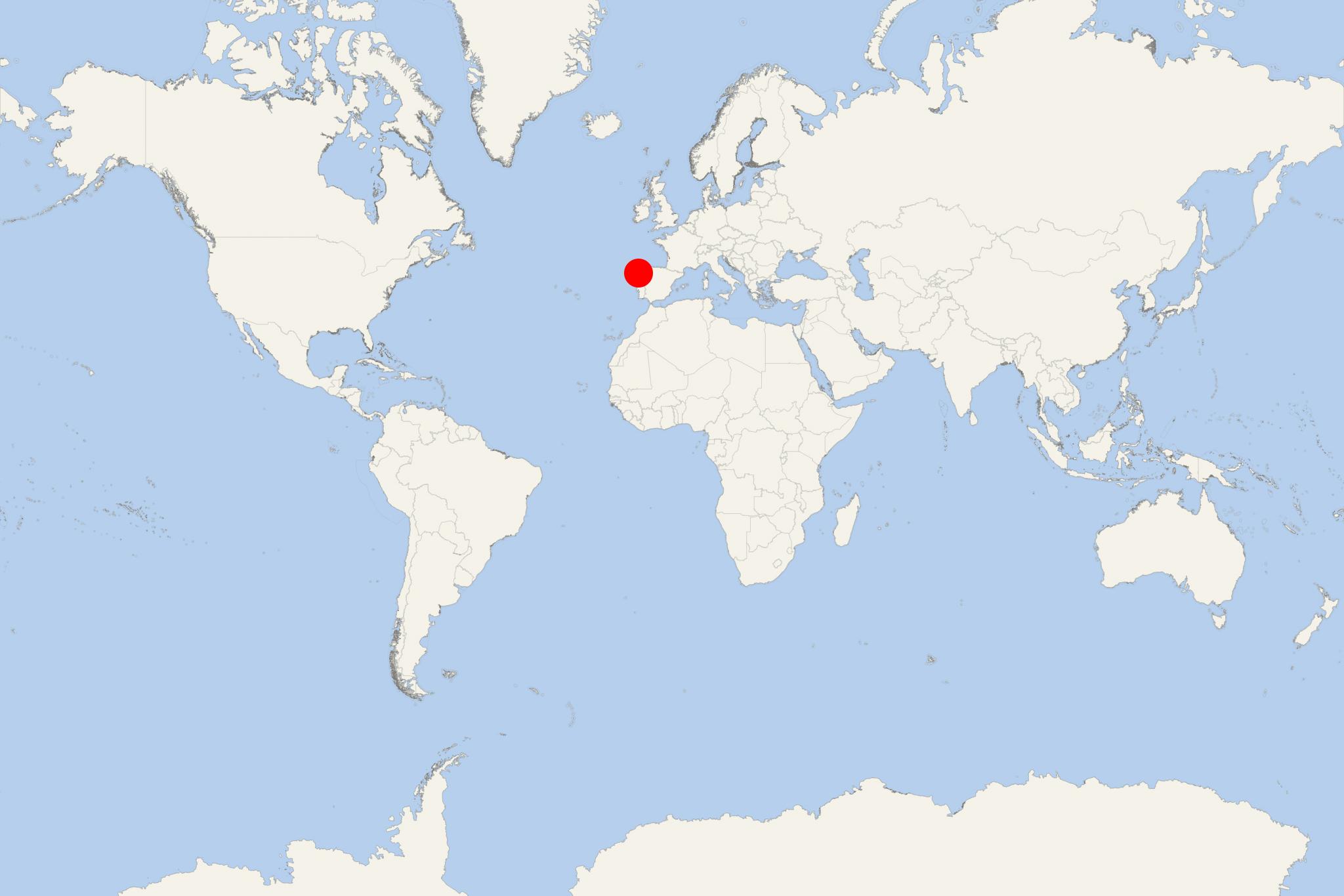
Cies Islands (Spain Galicia)
Cruise Port schedule, live map, terminals, news
Region
Western Europe - Azores - Canary Islands
Local Time
2025-04-27 23:50
 59°F
59°F 15.2°C

 Gentle breeze
3.5 m/s
 72 °F / 23 °C
 51 °F / 11 °C
Cies Islands (Islas Cies) are an archipelago in Spain's Galicia region (Vigo municipality), grouping three islands - Monteagudo (North Island), Do Faro (Middle Island) and San Martino (South Island). Islas Cies are situated in the mouth of Vigo Ria (estuary/coastal inlet formed by a submerged river valley). The archipelago is a "Nature Reserve" (since 1980), a "Special Protection Area" (since 1988/as a habitat for wild birds) and a "National Land-Marine Park" (since 2002, as part of the Atlantic Islands of Galicia NP). Besides Cies, the Galicia National Park also includes Malveiras Islands, Ons Island, Salvora Island, Noro Island, Vionta Island, Cortegada Island.
The 3-island Cies archipelago is located approx 30 km (20 mi) to the southwest from Pontevedra City, and just 16 km (10 mi) to the west from Vigo. Being a Nature Reserve, Islas Cies have no residents/permanent population. Tourist amenities and activities include camping at designated sites (permissions must be acquired at Port Vigo prior to departure), 9x white-sand beaches, a supermarket, a restaurant, a tourist information center. Tourists must collect their litter and take it back to the mainland as there are no garbage cans on the islands.
As a cruise ship travel destination, Cies Islands are visited by smaller-sized vessels (expedition-type ships and superyachts) from ultra-premium brands like Silversea, Scenic, Hapag-Lloyd, Ponant, Seabourn.
During the summer months, tour boats and regularly scheduled ferries connect Islas Cies (via Monteagudo Island) with Vigo (Galicia's largest port), the tourist town Baiona, and the resort town Cangas. Ferry travel time is ~45 minutes (from Vigo). The services are provided by two companies - Naviera Nabia (2x weekly crossings) and Mar de Ons (4x weekly crossings).
The islands' western parts are with steep mountainous terrains, nearly vertical cliffs (some with height 100+ m (328+ ft), and numerous coastal caves. Beaches and small dunes as well as woodlands (pine trees, eucalyptus, figs) and shrublands can be found in the islands' eastern parts (protected from the strong winds with a high salt content from the Atlantic Ocean). During the high tide, the water flows between the islands Monteagudo and Do Faro, and, as blocked by the Rodas Beach, it fills the area and forms a calm lagoon.
Islas Cies' fauna includes mainly seabirds - seagulls (a large colony of ~22000 pairs), petrels, pelicans, woodpeckers, wild pigeons, as well as some migratory birds. There are ornithological observatories on the islands Do Faro and San Martino). The most popular marine species in the archipelago are whales, dolphins, sharks (blue and basking).
