Coche Island (Venezuela)
Cruise Port schedule, live map, terminals, news
Region
Bahamas - Caribbean - Bermuda
Local Time
2025-04-02 02:49
 76°F
76°F 24.7°C

 Fresh breeze
9.3 m/s
 85 °F / 30 °C
 75 °F / 24 °C
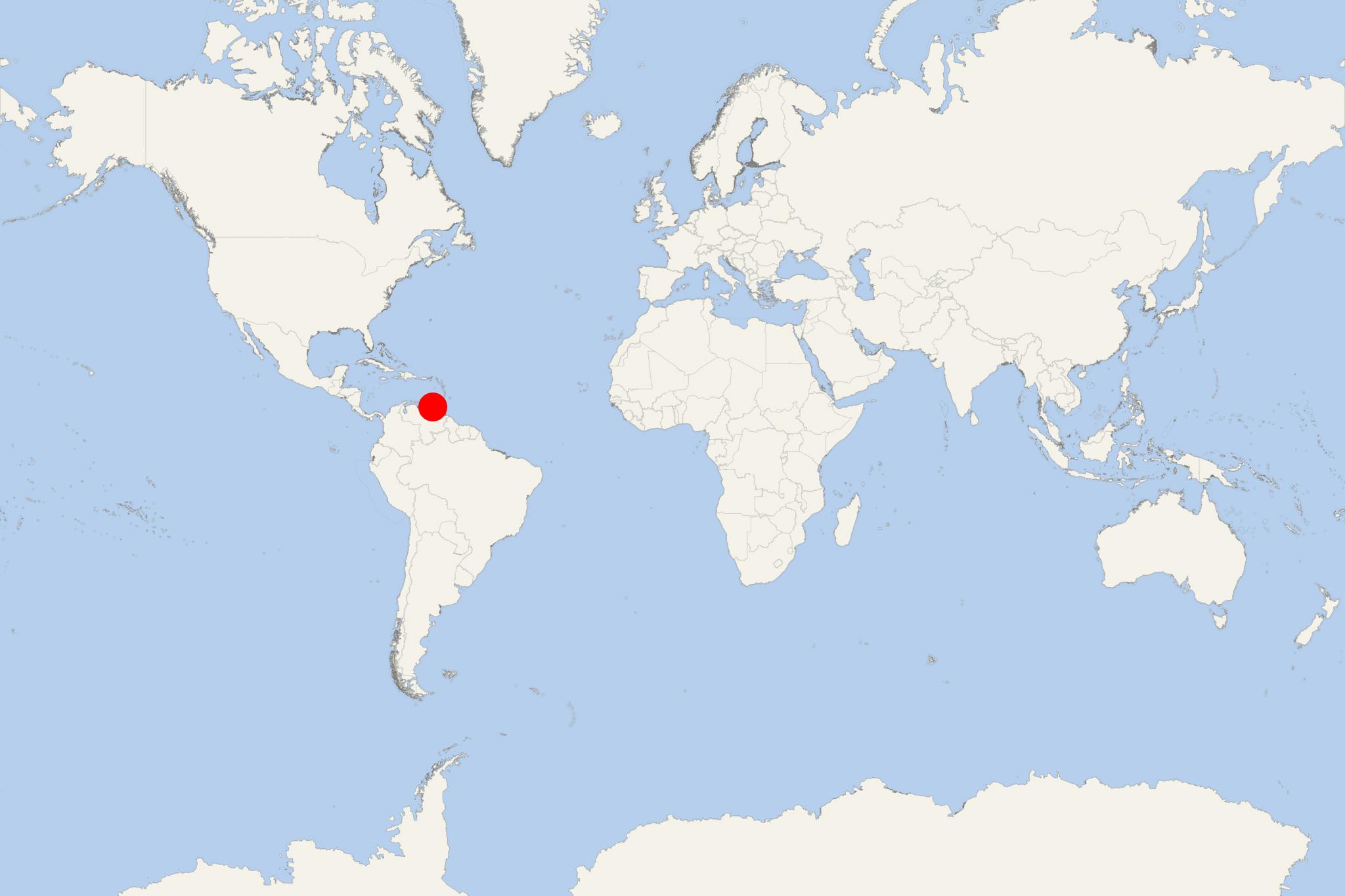
Coche Island (Isla de Coche) is one of 3 islands forming Venezuela's Nueva Esparta state. The island is in the Caribbean, located between mainland Venezuela and Isla Margarita (the other two islands are Isla Margarita and the smallest Cubagua). The island covers a total area of approx 61 km2 (24 mi2) and has population around 9,000.
Isla de Coche was discovered by Christopher Columbus (1451-1506) in 1498, when it was populated by the indigenous people Waikerio. Previous to early 16th century (when the first efforts to settle Coche were made), the island had a small population of refugees from Nueva Cadiz (port town of Cubagua Island that was destroyed by a tropical storm). All settlers abandoned Coche Island in 1574. The island is inhabited since the early-19th-century.
Coche is uniquely positioned for not mass-market tourism. The island's western coast is among the world's best locations for kiteboarding and windsurfing. It features strong winds (over 50 kph / 30 mph) with waveless sea. On the road, cycling can be practiced - don't forget sunscreen due to the year-round cloudless sky.
There are good quality hotels on Coche Island offering tourists all the facilities needed for a comfortable vacation. On the island are offered various tours and rides - both on land and at sea. Coche maintains close communications with the neighboring Isla Margarita and mainland Venezuela (Sucre state).
Coche Island cruise terminal
Most cruise ships to Margarita Island (Isla de Coche) Venezuela dock (anchor) at San Pedro de Coche - port town on the north-western coast.
