Devil Island Antarctica
Cruise Port schedule, live map, terminals, news
Region
Arctic - Antarctica
Local Time
2025-03-31 21:03
 19°F
19°F -7.2°C

 Light breeze
3.3 m/s
 20 °F / -6 °C
 7 °F / -13 °C
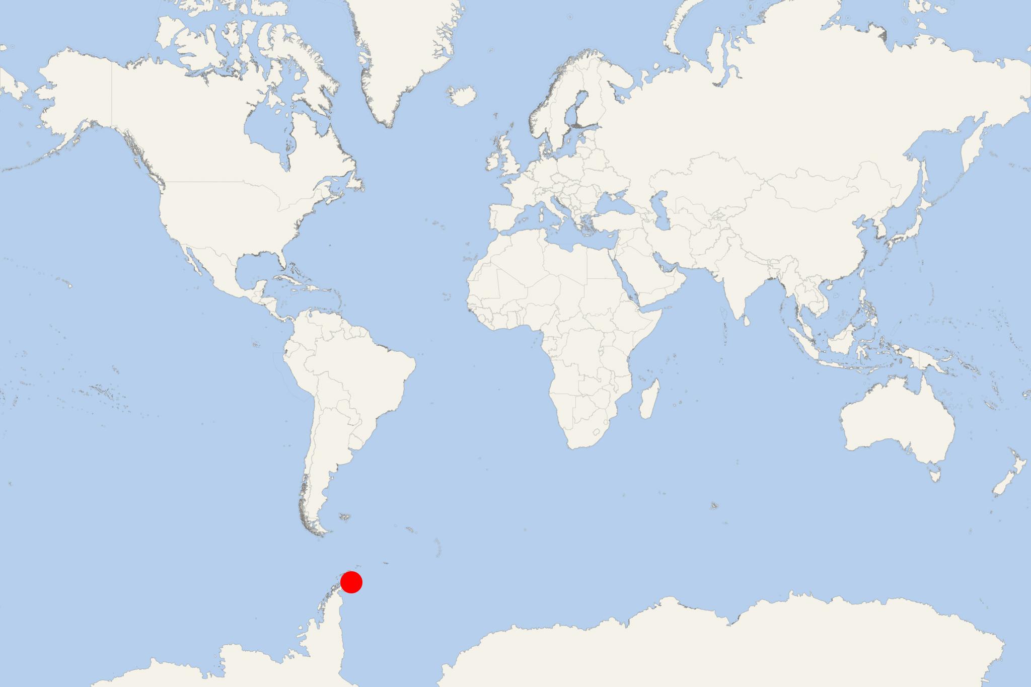
Devil Island (Antarctica) is an ice-free isle in the James Ross Island group - located near the Antarctic Peninsula's northeastern tip. The isle is approx 1 km (0,6 mi) north of Vega Island.
Devil Island has a total area of just 1,3 km2 (0,5 mi2), length of 2 km (1,2 mi) and is characterized by low hills rising to the highest elevation point 150 m (492 ft).
This Antarctic island is an Important Bird Area (IBA) as officially identified by BirdLife International (global partnership of conservation organizations) due to the isle's large breeding colony of over 30,000 Adelie penguins. The fauna also includes nesting seabirds - brown skuas (aka Antarctic skua) and snow petrels.
The island has several famous namesakes, located in Ontario Canada (Devil's Island on Lake Temagami), Nova Scotia Canada (Devils Island), French Guiana (Devil's Island/Ile du Diable, the Cayenne penal colony) and Wisconsin USA (Devils Island in the Apostle Islands).
