Ellesmere Island (Nunavut Canada)
Cruise Port schedule, live map, terminals, news
Region
Arctic - Antarctica
Local Time
2025-04-02 06:32
 -16°F
-16°F -26.4°C

 Light breeze
1.8 m/s
 -5 °F / -20 °C
 -18 °F / -27 °C
Port Ellesmere Island cruise ship schedule shows timetable calendars of all arrival and departure dates by month. The port's schedule lists all ships (in links) with cruises going to or leaving from Ellesmere Island, Nunavut Canada. To see the full itineraries (ports of call dates and arrival / departure times) and their lowest rates – just follow the corresponding ship-link.
| Day | Ship | Arrival | Departure |
|---|---|---|---|
| 12 September, 2025 Friday | |||
| 12 September, 2025 Friday |
Ellesmere Island (Nunavut, Canadian Arctic Archipelago) is the largest of the Queen Elizabeth Islands. Cape Columbia is Canada's most northerly land point (at 83°6′41″N). Ellesmere Island comprises a territory of 196235 km2 (75767 mi2). The island's total length is 830 km (520 mi), making it Canada's 3rd largest (after Baffin Island and Victoria Island) and world's 10th largest island. The Arctic willow is the only woody plant growing on the island.
A protected area is the Quttinirpaaq National Park comprising 1/5 of the island. The park includes 7 fjords and numerous glaciers. The island is also famous with Lake Hazen (North America's largest lake north of the Arctic Circle) and Barbeau Peak (Nunavut's highest mountain) located in the British Empire Range. Challenger Mountains are in the island's northeast region.
Large portions of the island are glaciers and ice fields (named Manson, Sydkap, Prince of Wales, Agassiz Ice Cap, Northern Ellesmere icefields). The Canadian Forces Station "Alert" is the world's northernmost settlement.
Tanquary Fiord is located on the island's north coast, in the Quttinirpaaq National Park. The fjord extends 48 km (30 mi) northwest. Craig Harbour is an abandoned settlement, located on Ellesmere's northern coast (Jones Sound), at approx 55 km (34 mi) southeast of Grise Fiord. Jones Sound is between Devon Island and the Ellesmere's southern end. The Sound's northwestern end is linked to Norwegian Bay by several sea channels, and its eastern end (via Glacier Strait) opens into Baffin Bay.
The list of "Canada top 10" largest islands (world rank in brackets) includes Baffin Island (5), Victoria Island (8), Ellesmere Island (10), Newfoundland (16), Banks Island (24), Devon Island (27), Axel Heiberg Island (32), Melville Island (33), Southampton Island (34) and Prince of Wales Island (40). All of them (excepting Newfoundland - in Newfoundland-Labrador) are located in the Nunavut- Northwest Territories of Arctic Canada.
Ellesmere Island is among the Arctic Ocean territories along the Northwest Passage route.
Grise Fiord
Grise Fiord (translated from Norwegian as "pig inlet") is a small Inuit hamlet (population around 200) located on the island's southern tip. It is also its largest of all 3 local communities.
The town was named in 1900 by Otto Sverdrup (1854-1930, a sailor and Arctic explorer from Norway) during his Arctic expedition. The reason for the "pig" name was that he thought walruses sounded like pigs. The hamlet's Inuktitut name is Aujuittuq (translated as "place that never thaws").
The village's houses are made entirely of wood and built on platforms to cope with the permafrost. Main occupation of the Inuit people is hunting seals, walruses, whales (narwhales and beluga), also polar bears and muskoxen. In the recent years, ecotourism is developing as tourists (including cruise ship passengers) come to Ellesmere and the surrounding islands to explore Arctic wildlife.
Due to mountain avalanches and ocean ice fields, during winter travel is limited to the village and a small patch of surrounding land to the east. Once per year, cargo ships arrive to Grise Fiord to deliver (sell) supplies and fuel.
Ellesmere Island has no any connecting roads, and is served only by a small airstrip near Grise Fiord (named Grise Fiord Airport). The airstrip has length of 510 m (1670 ft) and can serve only small-sized aircraft. For local transportation, the Grise Fiord residents use ATVs in the summer and snowmobiles in the winter. Small boats are used in the summer as transportation to the hunting grounds, and also for hunting sea mammals. Other important income sources are carving and making traditional Inuit crafts and clothing.
Being the world's most isolated community (located approx 1160 km / 720 mi) north of the Arctic Circle), Grise Fiord is also among the world's coldest inhabited places, with an average temperature of −16,5 C (2,3 F).
Ellesmere Island cruise terminal
Cruise ships to Ellesmere Island dock (anchor) at Grise Fiord - port town (Inuit hamlet, population under 200) located on the island's southern tip.
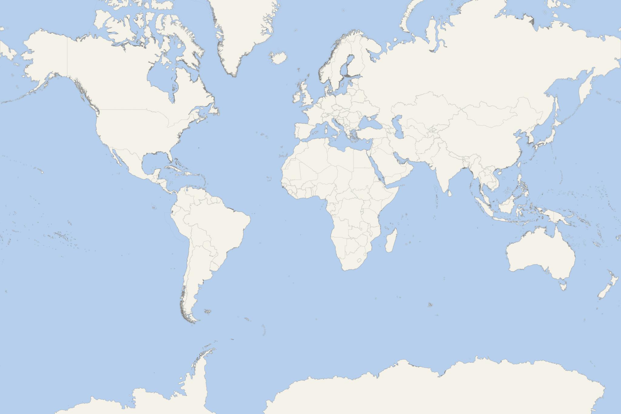
The following map shows all the island's fjords, bays, nearby surrounding islands and channels, as well as both Canadian Arctic research stations (Alert and Eureka).
Next photo shows the Eureka Research Station on Fosheim Peninsula (located on Slidre Fiord's northern side). This station is the world's 3rd northernmost permanently populated research base. The other two are located farther north - Alert (also on Ellesmere Island) and Nord (Greenland).
- Cruise Industry

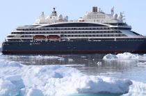
PONANT’s icebreaker Le Commandant Charcot becomes first to set foot on North Pole of Inaccessibility
Le Commandant Charcot has achieved a historic maritime milestone, becoming the first vessel to reach the North Pole of Inaccessibility under the...
September 23, 2024 - Cruise Industry

Quark Expeditions introduces its Arctic 2024 season
Quark Expeditions celebrated the launch of Arctic 2024 season offering more ways to experience Greenland, Svalbard Norway, and the Canadian Arctic...
November 9, 2022 - Cruise Industry

Silversea reveals new collection of 25 cruises on the new megayacht Silver Endeavour
Silversea revealed a new collection of 25 sailings for its newly acquired expedition ship Silver Endeavour/2021-built as Crystal Endeavor - the world...
October 2, 2022 - Cruise Industry

Quark Expeditions introduces 17 cruises for the Arctic 2022 season
The leader in Polar Adventures, Quark Expeditions, released details of its Arctic 2022 season line-up of cruises that are designed to immerse...
September 6, 2020 - Cruise Industry

Quark Expeditions’ Ultramarine Ready for Booking for Inaugural Arctic Season
Quark Expeditions opened bookings for company's newest polar cruise ship Ultramarine. The inaugural itineraries are cruises to the Canadian Arctic...
January 9, 2020 - show more news
