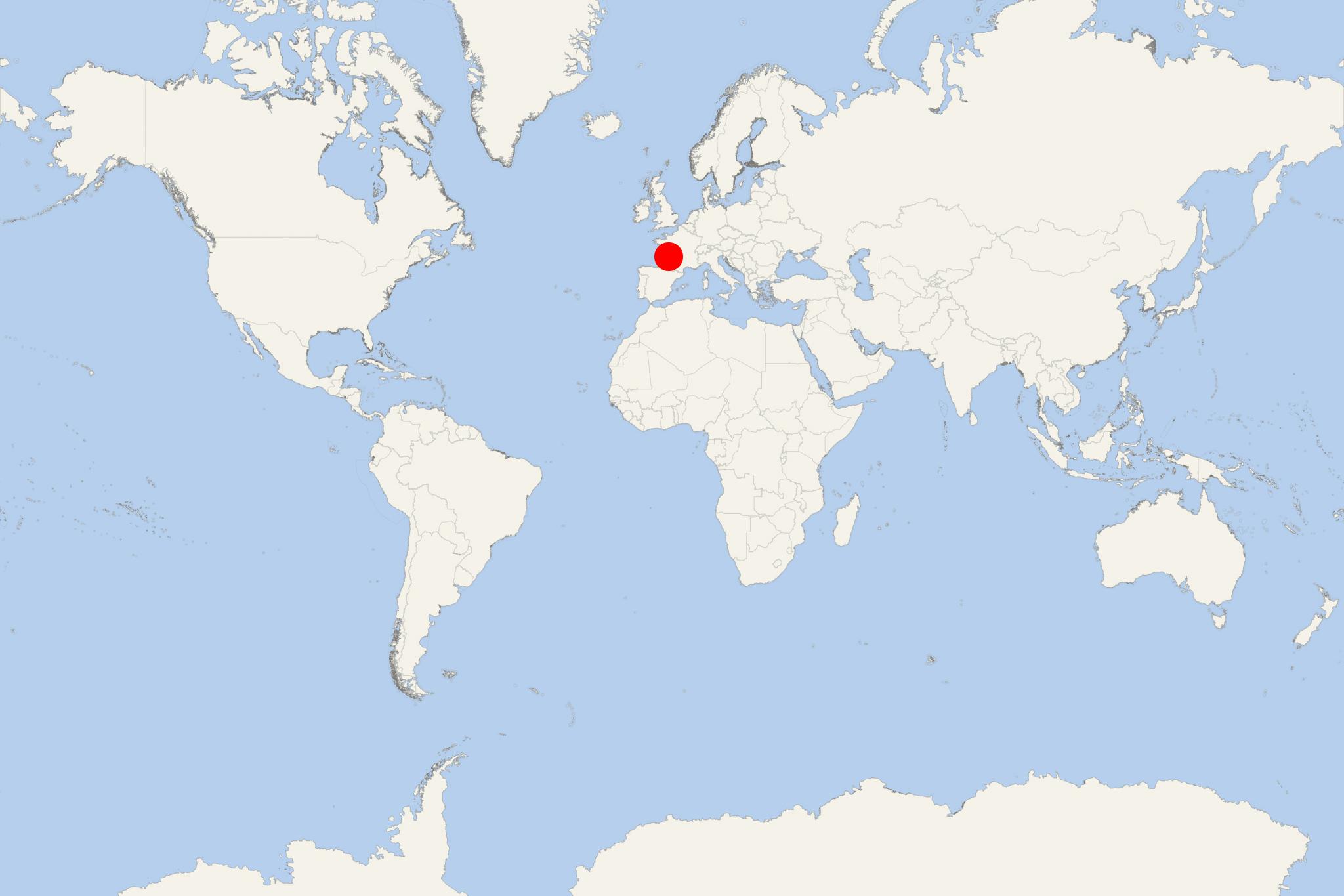
Gironde Estuary (France)
Cruise Port schedule, live map, terminals, news
Region
France Rivers
Local Time
2024-11-26 18:21
 54°F
54°F 12°C

 Gentle breeze
3.6 m/s
 58 °F / 15 °C
 47 °F / 9 °C
Port Gironde Estuary cruise ship schedule shows timetable calendars of all arrival and departure dates by month. The port's schedule lists all ships (in links) with cruises going to or leaving from Gironde Estuary, France. To see the full itineraries (ports of call dates and arrival / departure times) and their lowest rates – just follow the corresponding ship-link.
| Day | Ship | Arrival | Departure |
|---|---|---|---|
| 8 June, 2026 Monday | 09:00 | 18:00 | |
| 19 June, 2026 Friday | 09:00 | 18:00 |
The Gironde Estuary is a major navigable waterway (falsely referred to as a river) located in southwestern France. It is formed from the meeting of two rivers (Dordogne and Garonne) downstream of the centre of Bordeaux. This estuary covers a total area of approx 635 km2 (245 mi2), ranking it the largest one in western Europe.
Gironde Estuary is a coastal (usually fresh) water area where one or more rivers meet. It also has a direct connection to the sea / ocean. River Gironde is nearly 80 km (50 ml) long and 3–11 km (2–7 ml) wide. Its estuary is subject to strong tidal currents from the Atlantic Ocean. Great care is needed while navigating the estuary by any type or size of marine vessels.
Within the estuary, between Pointe de Grave at the seaward end, and Bec d'Ambes, there are a series of small islands. Ile de Patiras (200 hectares) has a lighthouse to aid navigation in the estuary. Maize and vines are grown there. Ile Sans-Pain and Ile Bouchaud are virtually joined due to silting and are referred to as "Ile Nouvelle". They have a total area 265 hectares and are owned by Conservatoire du Littoral.
Ile Cazeau, Ile Verte, and Ile du Nord have a combined area of about 800 hectares. Due to their pristine state, these isles provide a fine stopping off-site for migrating birds. Ile Margaux (25 hectares) had 14 ha devoted to vines. It is part of the famous Medoc wine region.
Ile Pate (13 hectares) is a privately owned island. It features a historic fort built in the end of the 17th century as part of a national fortification program by Marquis de Vauban (1633-1707). The building is oval, nearly 12 m high, and was originally equipped with 30 cannons. Fort Pate, along with Fort Medoc and the Blaye Citadelle, defended Bordeaux and the Gironde Estuary. During the French Revolution (1789-1799), Fort Pate was used as prison for priests.
In 2006, Conseil General took a decision to make Ile Pate a "zone de pre-emption espace naturel sensible" (ZPENS). This status protects the island from further developments. If the owner decides to sell it, the Department has pre-emptive right. After 2 months the Conservatoire National du Littoral has next pre-emptive right and after another 2 months, the town of Blaye has the final pre-emptive right to buy the island.
