Goodenough Island PNG (Papua New Guinea)
Cruise Port schedule, live map, terminals, news
Region
Australia - New Zealand - Pacific Ocean Islands
Local Time
2025-04-03 16:15
 83°F
83°F 28.1°C

 Gentle breeze
3.6 m/s
 85 °F / 30 °C
 76 °F / 25 °C
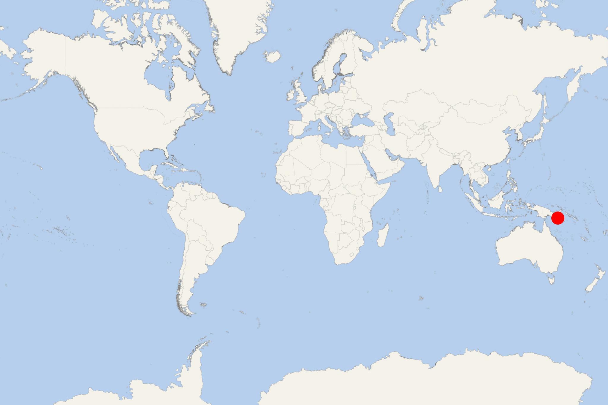
Goodenough Island one of the D'Entrecasteaux Islands PNG. It is located in the Solomon Sea, east of the New Guinea island (mainland PNG), northeast of Fergusson Island and southwest of the Trobriand Islands. To the southeast is the small-sized Wagifa Island.
Cruise ships to Goodenough Island PNG dock (anchor) at Bolubolu - port town on the eastern coast.
The island is roughly circular-shaped (39 x 26 km / 24 x 16 mi), with a total area of 687 km2 (265 mi2) and coastline of 116 km (72 mi). Its coastal belt's width varies from 2-10 km (1,2-6,2 mi).
Goodenough's terrain features a sharp rise from the coast to the Mt Vineuo's peak (highest elavation 2536 m / 8320 ft), which ranks the isle one of the world's most precipitous. In the island's center is the Oi Mada Wara Wildlife Reserve (total area 228 km2 / 88 mi2) with a huge number of endemic and endangered species.
