Great Barrier Island NZ (Tryphena)
Cruise Port schedule, live map, terminals, news
Region
Australia - New Zealand - Pacific Ocean Islands
Local Time
2025-04-05 03:26
 67°F
67°F 19.7°C

 Mod. breeze
7.9 m/s
 69 °F / 21 °C
 65 °F / 19 °C
Port Great Barrier Island NZ cruise ship schedule shows timetable calendars of all arrival and departure dates by month. The port's schedule lists all ships (in links) with cruises going to or leaving from Great Barrier Island NZ, Tryphena. To see the full itineraries (ports of call dates and arrival / departure times) and their lowest rates – just follow the corresponding ship-link.
| Day | Ship | Arrival | Departure |
|---|---|---|---|
| 1 December, 2025 Monday |
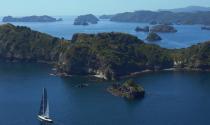
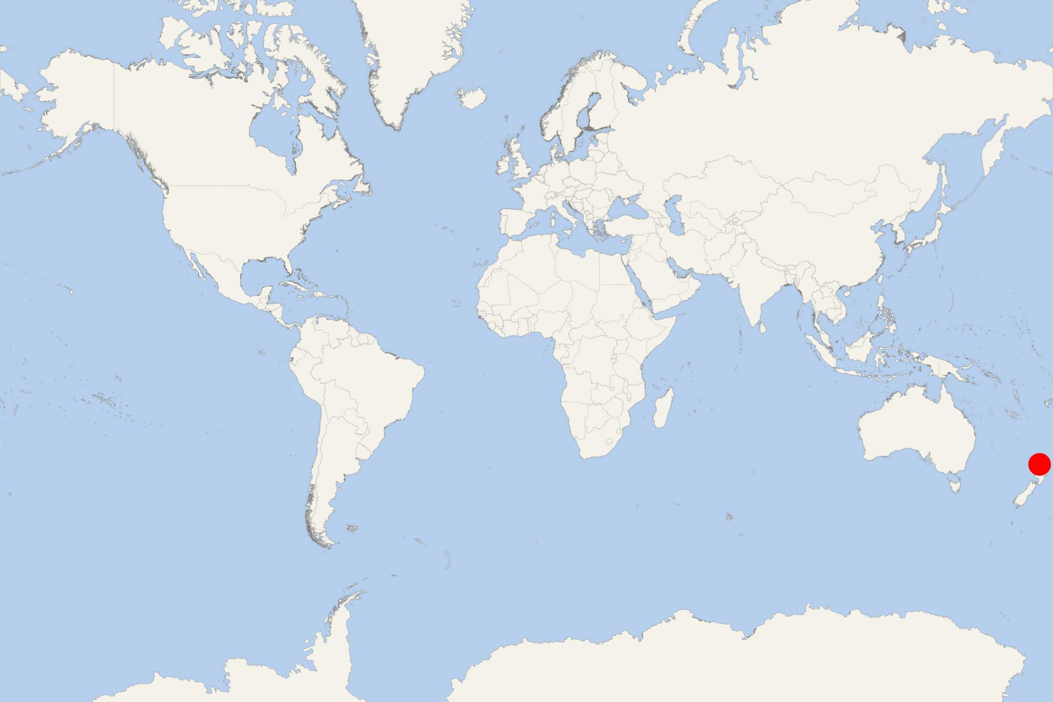
Great Barrier Island is located in outer Hauraki Gulf, New Zealand, approx 100 km (60 mi) northeast of Auckland. The Island covers a total area of 285 km2 (110 mi2), ranking it New Zealand's 6th-largest. Its highest elevation point (Mt Hobson) is 621 m (2037 ft) above sea level.
Cruise ships to Great Barrier Island dock/anchor at Tryphena - a port town on the southwestern coast.
Great Barrier Island was initially exploited for its kauri trees and minerals. It saw limited agriculture and in 2013 was inhabited by around 1,000 people, living mostly from farming and tourism. Most of the diverse environments (nearly 60% of the isle's total area) are administered as a nature reserve by the NZ's Department of Conservation.
In 2009, the island's atmosphere was described with positive emphasis as "life in New Zealand many decades back".
- Cruise Industry

Heritage Expeditions introduces Coastal New Zealand 2023 season of Heritage Explorer yacht
Pioneering NZ-based expedition cruise line Heritage Expeditions (fleet) released its "2023 Coastal New Zealand" season, which includes a new 7-day...
March 27, 2022 - show more news
