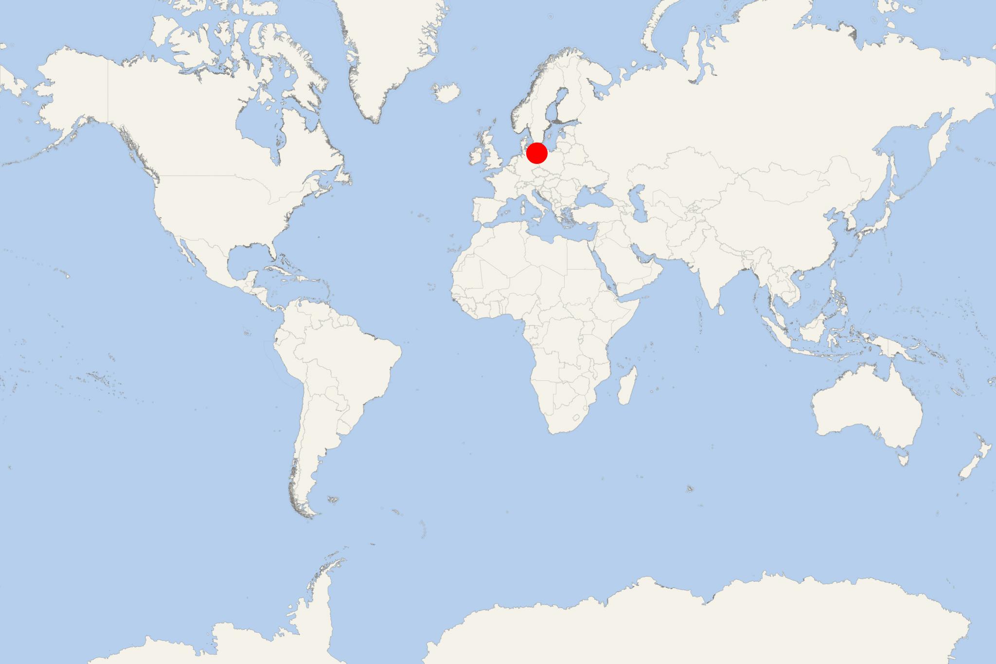
Heringsdorf-Usedom (Usedom Island Germany)
Cruise Port schedule, live map, terminals, news
Region
Baltic - Norwegian Fjords - Russia
Local Time
2024-12-27 12:24
 44°F
44°F 6.5°C

 Light breeze
2.2 m/s
 46 °F / 8 °C
 41 °F / 6 °C
Usedom Island (aka Sunny Island / Sonneninsel / Wyspa SÅonca) is located in Baltic Sea, north of Stettin Lagoon (Oder River's estuary). Since the end of WW2 (1939-1945) its territory is devided between the countries of Germany and Poland.
The isle covers a total area of approx 445 km2 (172 mi2), of which Germany has 373 km2 (144 mi2) and Poland 72 km2 (28 mi2). Its total population is around 77,000, distributed approx 32,000 (German part) and 45,000 (Polish part).
Usedom is the 2nd largest island in the Pomerania region (between the rivers Recknitz and Vistula) - after Rugen Island (main ports Binz and Sassnitz) and before Wolin Island.
Approx 80% of the island is German (part of state Mecklenburg-Vorpommern), while its eastern part is Polish. In the Polish section is located its largest city - Swinoujscie (Swinemunde).
Usedom Island is both Germany's and Poland's sunniest territory. This makes it a top tourist destination the whole year-round.
Among Usedom's best attractions are the many nobility-owned mansions (resort-style design), beautiful beaches, lakes, large seaside resorts (Amber Spas, Kaiserbad, Swinoujscie, Zinnowitz), castles, nature reserves, the Usedom Botanical Gardens Mellenthin, Dannenfeldt Mausoleum (Monchow).
The island is served by the Heringsdorf Airport. Usedom is one of Germany's top holiday travel destinations. The waterfront towns Zinnowitz and Heringsdorf are visited by the country's nobility (many also owning properties here), as well as by common people. The island offers numerous hotels and B&B establishments.
The Karnin Lift Bridge (Hubbrucke Karnin) is a railway bridge built over Peenestrom estuary. The bridge (part of Ducherow–Swinemunde railway) was inaugurated in 1933 and destroyed in the end of WW2 (1945). Its lifting part still stands on the island as a historic relic - right in the middle of the estuary.
Usedom Botanical Gardens were built in the period 2006-2008 and inaugurated in 2009. There are around 50,000 plants arranged in 14 garden areas. All plant species are labeled in 3 languages - Latin, German, Polish.
The following map of Usedom shows the names of all villages, towns and resorts, as well as the road connections between them and with mainland Europe (Germany).
Heringsdorf-Usedom cruise terminal
Most cruise ships to Usedom Island dock (anchor) at Heringsdorf - port town and a seaside spa resort on the central-north coast. The town is also known by the name Kaiserbad.
The coastline features a 12 km (7,5 ml) long sandy beach (called Kaiserstrand / Imperial Beach) stretching between Bansin and Swinemunde. The beach has overall length 40 km (25 mi) and avrg width of 40 m (130 ft), ranking it Europe's longest sandy beach. This is among Usedom's most visited and developed tourist regions, with a large number of hotels and vacation homes.
Heringsdorf consists of 3 parts: Ahlbeck (eastern / Polish), Heringsdorf proper (central / German) and Bansin (western / German). These 3 spa resorts feature clean beaches and numerous houses and mansions with distinct resort-style architecture.
