Ile-d'Aix Island (France)
Cruise Port schedule, live map, terminals, news
Region
Western Europe - Azores - Canary Islands
Local Time
2025-04-22 04:20
 54°F
54°F 12.1°C

 Mod. breeze
7.6 m/s
 60 °F / 16 °C
 48 °F / 9 °C
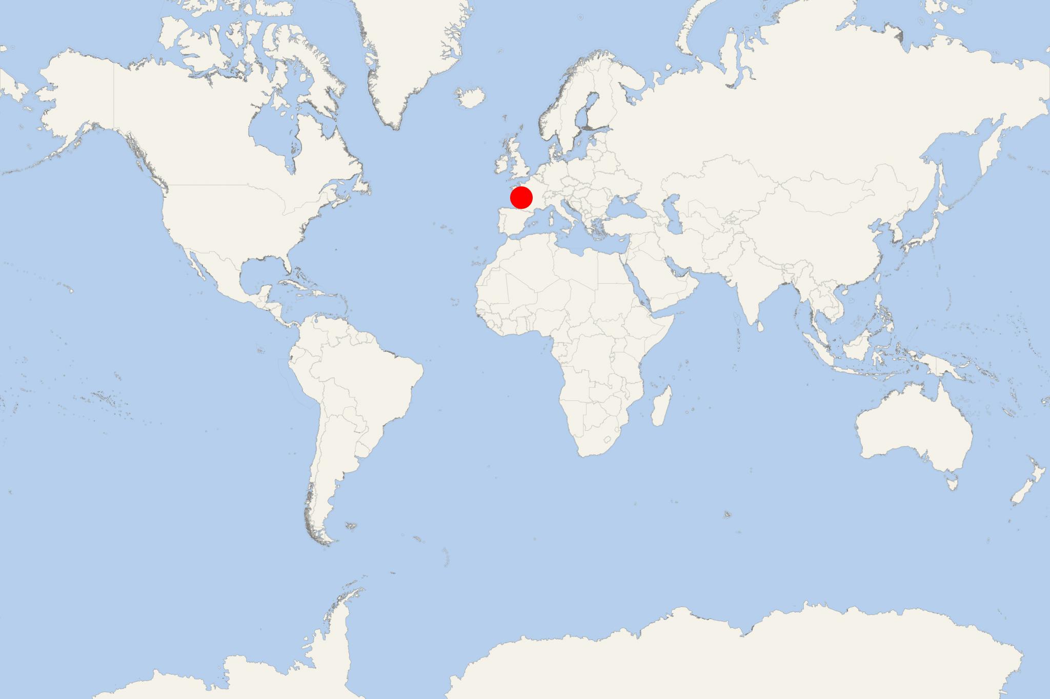
Ile-d'Aix Island is located in the Atlantic Ocean, off France's west coast. The island has total area approx 1 km2 (0,5 mi2) and population around 200.
The island is a popular tourist travel destination for day trips during summer months.
Ile-d'Aix is at the mouth of Charente River, between l'Ile d'Oleron Island and mainland France. The island is also close to Fort Boyard.
During Roman times, the island was linked with the continent (Europe) at low tide.
In 1815 (July 12-15), Emperor Napoleon (1769-1821) spent his last days in France at the island, following the defeat at Waterloo. He attempted to slip past England's Royal Navy blockade, trying to escape to the USA. However, realizing the impossibility of this plan, he wrote a letter to the British regent and finally surrendered to the ship HMS Bellerophon. The ship took him to Plymouth prior to transferring him to St Helena Island.
Fort Liedot is on Ile-d'Aix Island. The fort served as military prison (between the early-19th century through the 1960s).
Access to the island is provided via year-round, regularly scheduled ferries (several daily departures) from mainland France. Ferries to Ile-d'Aix leave out of Fouras and during summer months also from Oleron and La Rochelle. As cars are banned on the island (except service vehicles), the only means of transportation is bicycles and horse-drawn carriages (for around the island tours).
Ile-d'Aix Island cruise terminal
As this is a tender port, cruise ships to Ile-d'Aix anchor in open sea (near the island's southern coast) and their passengers are transported to the pier via the ship's tender boats.
