Isla del Rey Panama (Pearl Islands)
Cruise Port schedule, live map, terminals, news
Region
Hawaii - Mexico - Panama Canal
Local Time
2025-03-17 10:33
 81°F
81°F 27.2°C

 Mod. breeze
5.6 m/s
 85 °F / 30 °C
 79 °F / 26 °C
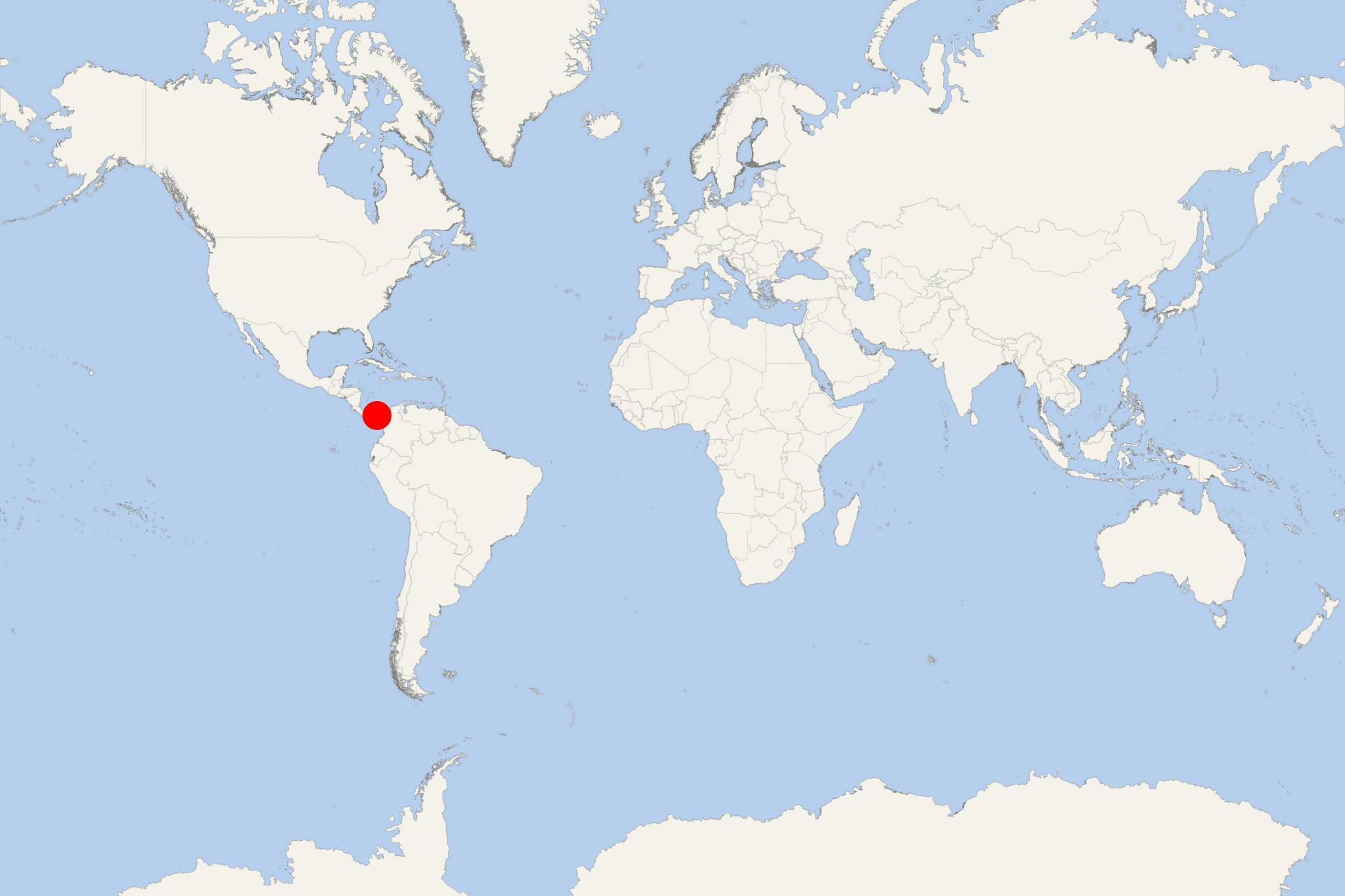
Isla del Rey (aka Isla Rica) is the biggest of Pearl Islands - an archipelago located in the Gulf of Panama (Pacific Ocean). The island has a total area of approx 234 km2 (90 mi2) and population around 2,000. The isle's current name is more with regard to Christ the King than to a secular king.
On Isla del Rey there are 4 towns - San Miguel (population ~1000), La Esmeralda (pop ~500), La Ensenada (pop ~100) and La Guinea (pop ~100). It is larger than all other Pearl Islands combined. Isla del Rey is also Panama's second-largest island - following Coiba.
Vasco Nunez de Balboa (1475-1519) was the first European to discover the isle in October 1513. He could only see the isles from afar, as poor weather prevented the canoes from landing. De Balboa named the island "Rich Island" (Isla Rica).
Isla del Rey Panama cruise terminal
Cruise ships to Isla del Rey dock (anchor) at San Miguel - port town on the northwestern coast.
