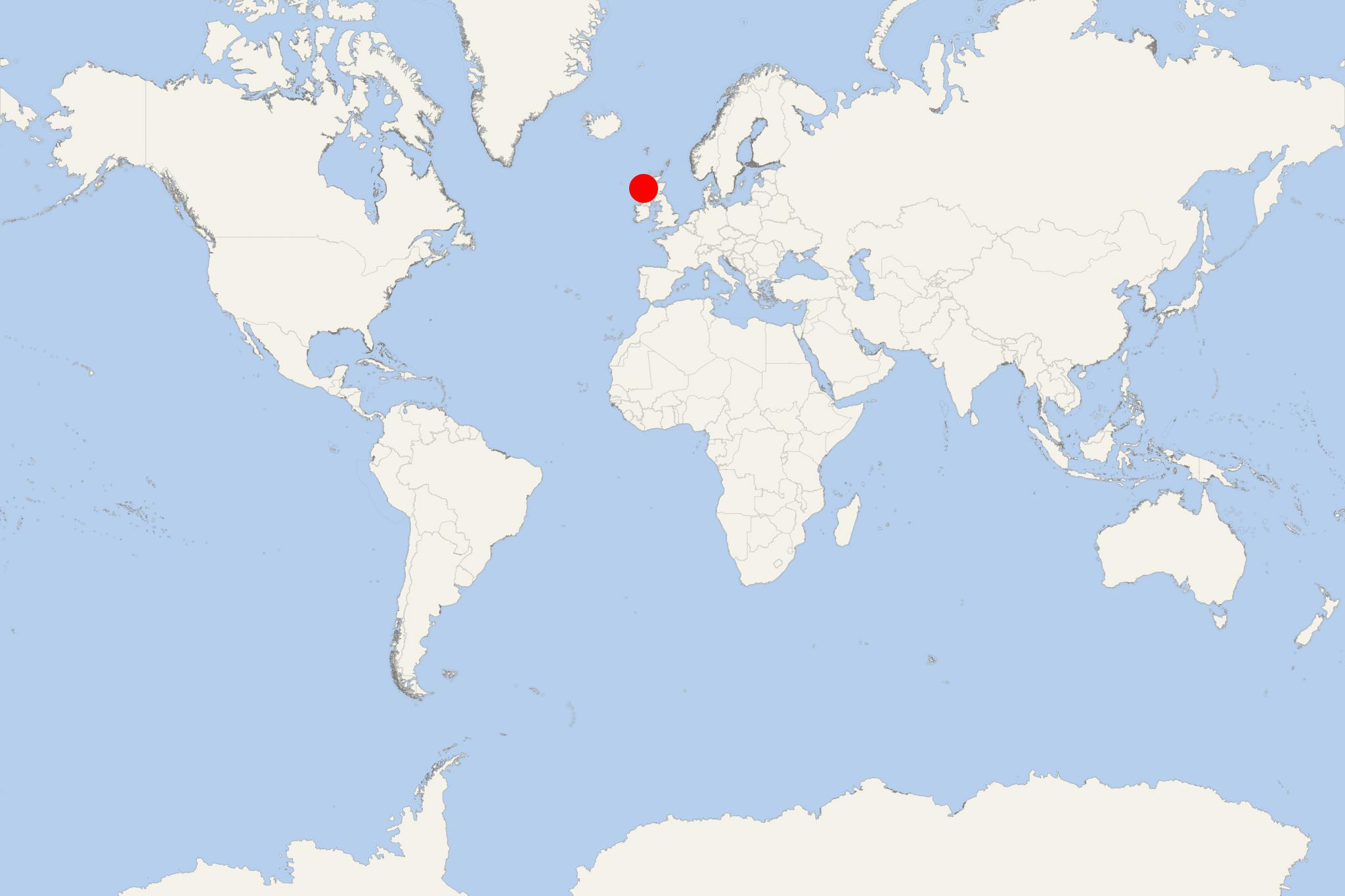
Isle of Mingulay (Scotland)
Cruise Port schedule, live map, terminals, news
Region
Ireland - UK - British Isles
Local Time
2024-11-21 13:10
 45°F
45°F 7.1°C

 Near gale
14 m/s
 46 °F / 8 °C
 42 °F / 6 °C
Port Isle of Mingulay cruise ship schedule shows timetable calendars of all arrival and departure dates by month. The port's schedule lists all ships (in links) with cruises going to or leaving from Isle of Mingulay, Scotland. To see the full itineraries (ports of call dates and arrival / departure times) and their lowest rates – just follow the corresponding ship-link.
| Day | Ship | Arrival | Departure |
|---|---|---|---|
| 4 April, 2025 Friday | |||
| 13 April, 2025 Sunday | |||
| 23 April, 2025 Wednesday |
Isle of Mingulay is the 2nd largest of Barra Isles (after Vatersay) and part of Scotland's Outer Hebrides archipelago. Mingulay island is located approx 19 km (12 ml) south of Barra and is currently uninhabited.
The island is famous for its seabird populations (including black-legged kittiwakes, razorbills, puffins) nesting on the cliffs - among British Isles' highest. Mingulay's highest elevation point (Càrnan) is 273 m (896 ft).
After two thousand years of continuous habitation, in 1912 Mingulay Island was abandoned by its Gaelic-speaking residents and has remained uninhabited since. Previous to that year, the island was used for grazing sheep. Since 2000, Isle of Mingulay is owned by the "National Trust for Scotland for Places of Historic Interest or Natural Beauty". The Trust owns and manages a total land area of approx 730 km2 (280 ml2). Among its properties are Scottish castles, ancient and historic sites, gardens, rural areas.
Isle of Mingulay cruise terminal
Cruise ships to Mingulay Island dock (anchor) at Mingulay Bay - a sheltered anchorage on the island's eastern coast.
Mingulay Island is uninhabited since 1912. There were sheltered anchorages at Vatersay (some 300 m / 980 ft) from Barra Island used until the causeway's construction in 1990.
