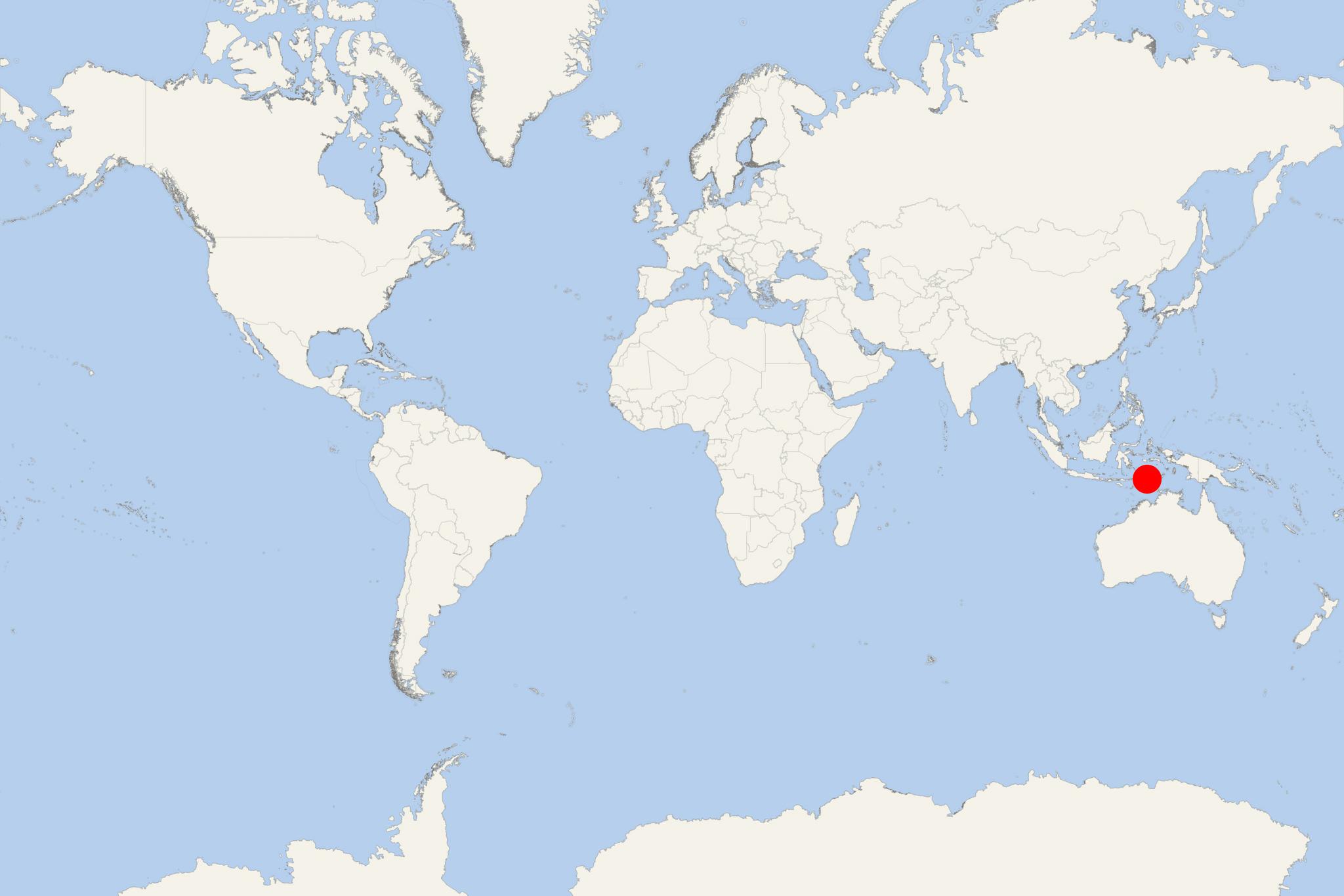
Jaco Island (East Timor)
Cruise Port schedule, live map, terminals, news
CruiseMapper currently has no ship schedule for Port Jaco Island (East Timor)
Pulau Jaco Island (aka Jako Island) is an uninhabited isle part of Nino Konis Santana National Park. The small isle covers an area of approx 11 km2 (4 ml2). It is located just off Timor Island's eastern coast. It is separated from mainland East Timor by a shallow channel with width of 700 m (2300 ft) navigable only by small-sized vessels.
Jako Island's highest elevation point is just 100 m (330 ft). Most of the island is covered by tropical forest, fringed by sandy beaches.

 82°F
82°F 
 Very Light