James Ross Island Antarctica
Cruise Port schedule, live map, terminals, news
Region
Arctic - Antarctica
Local Time
2025-04-15 01:59
 30°F
30°F -1°C

 Light breeze
3.1 m/s
 37 °F / 3 °C
 25 °F / -3 °C
CruiseMapper currently has no ship schedule for Port James Ross Island Antarctica ()
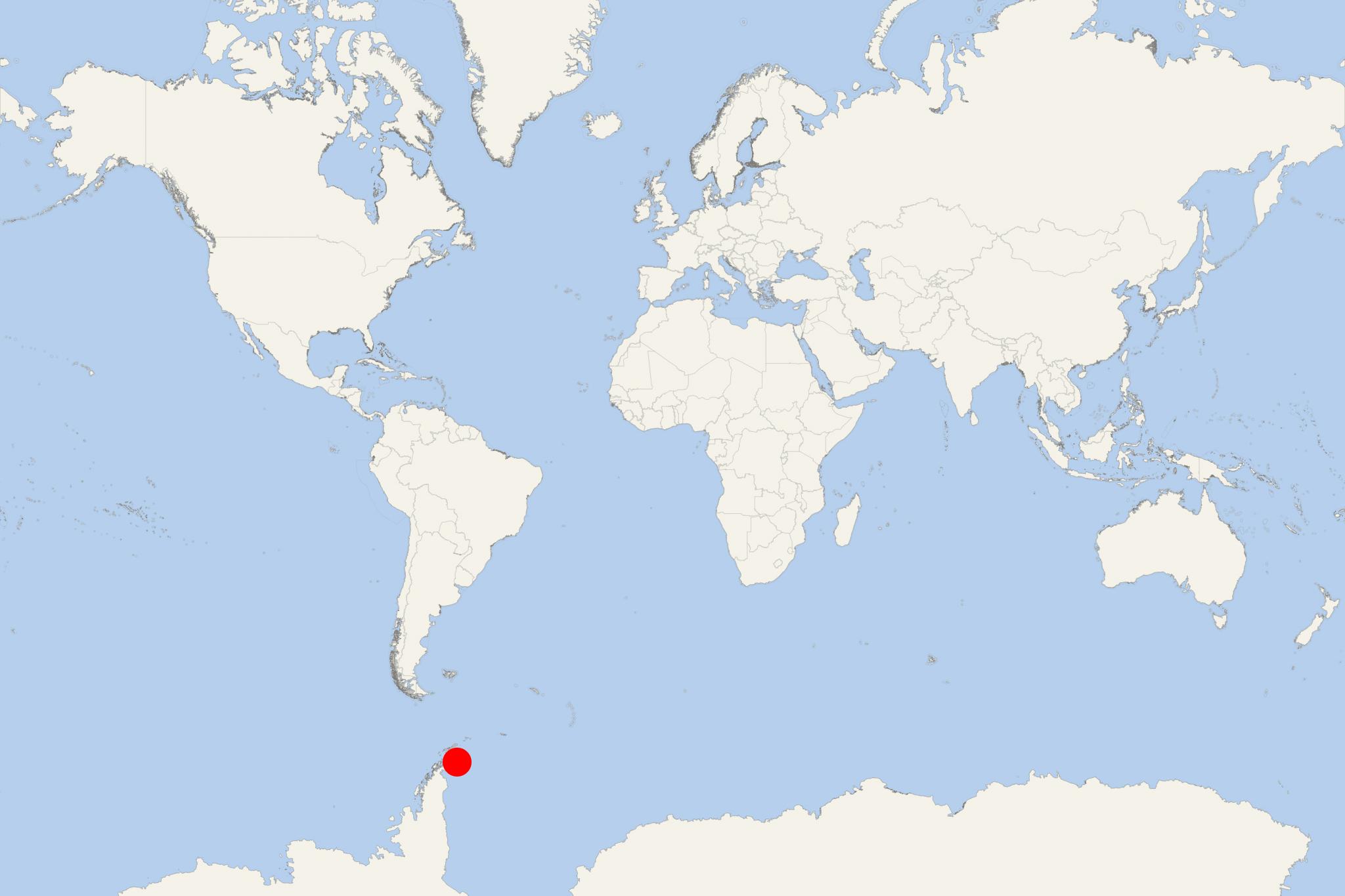
James Ross Island is located off the Antarctica Peninsula's southeast side and close to the peninsula's northeastern extremity, from which it is divided by the Prince Gustav Channel. The isle was connected to mainland Antarctica by an ice shelf, but in 1995 the ice shelf collapsed, making Prince Gustav Channel passable.
- James Ross is an irregularly shaped island with a total area of 2598 km2 (1003 ml2), length of 64 km (40 ml) and highest elevation point (Mount Haddington) 1630 m (5350 ft).
- It extends 64 km (40 ml) in north-south direction. The island was first charted in October 1903 during a Swedish Antarctic Expedition lead by Otto Nordenskiold (1869-1928). He named the isle after Sir James Clark Ross (1800-1862), leader of the 1842's British Antarctic expedition to the area that discovered and charted a number of points along the isle's eastern side. The name "James Ross Island" is used in order to avoid confusion with the more widely known Ross Island in Ross Sea (located off the coast of Victoria Land and in the McMurdo Sound).
James Ross is one of the several islands around the Antarctic Peninsula (known as Graham Land) that is closer to South America than any other part of the continent.
