Jan Mayen Island (Arctic Norway)
Cruise Port schedule, live map, terminals, news
Region
Arctic - Antarctica
Local Time
2025-03-29 14:17
 26°F
26°F -3.5°C

 Light breeze
2.5 m/s
 28 °F / -2 °C
 23 °F / -5 °C
Port Jan Mayen Island cruise ship schedule shows timetable calendars of all arrival and departure dates by month. The port's schedule lists all ships (in links) with cruises going to or leaving from Jan Mayen Island, Arctic Norway. To see the full itineraries (ports of call dates and arrival / departure times) and their lowest rates – just follow the corresponding ship-link.
| Day | Ship | Arrival | Departure |
|---|---|---|---|
| 6 May, 2025 Tuesday | |||
| 15 May, 2025 Thursday |
Jan Mayen Island is one of Arctic Norway's territories. The island has length of approx 55 km (34 mi) and covers a total area of approx 373 km2 (144 mi2). The island is partly covered by glaciers - around its highest elevation point - Beerenberg volcano (2277 m / 7470 ft). The island is generally uninhabited, with under 50 non-permanent residents.
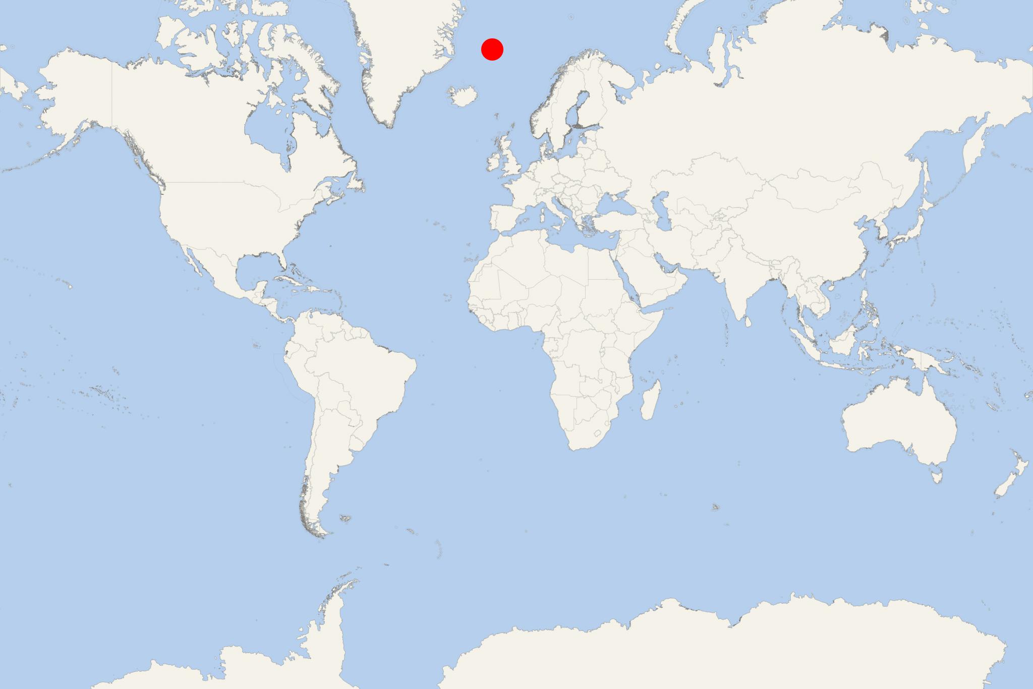
Jan Mayen is located approx 600 km (370 mi) northeast of Iceland, approx 500 km (310 mi) east of Greenland and approx 1000 km (620 mi) west of North Cape Norway.
The island has two separate parts: bigger (Nord-Jan) and smaller (Sor-Jan) linked by an isthmus (a narrow piece of land) with width of 2,5 km (1,6 mi). The terrain is mountainous, with the highest point being the stratovolcano Beerenberg (located in the north).
The linking isthmus is where are the island's two largest lakes - named Nordlaguna (North Lagoon) and Sorlaguna (South Lagoon). The only inhabitants on Jan Mayen are the stationed personnel working for the Norwegian Army or the Norwegian Meteorological Institute.
Transport to Jan Mayen Island is provided via Lockheed C-130 Hercules military transport aircraft operated by RNoAF (Royal Norwegian Air Force). These planes land on the gravel runway of Jan Mayen airfield. The aircraft fly from Bodo (Main Air Station, 2 hours away) 8 times per year. Cargo ships visit the island during summer, bringing heavy goods. The ships are anchored as the island has no harbours.
As no commercial airline flies to the island, the only way to get there by air is via a privately chartered airplane.
Since 2010, Jan Mayen Island is designated as a nature reserve (under Norway's jurisdiction) to ensure the preservation of this pristine Arctic island, as well as the marine life in the surrounding waters.
The island is also identified as IBA (Important Bird Area) by BirdLife International as a breeding ground for many seabirds, including little auks, thick-billed and black guillemots, Arctic fulmars.
Jan Mayen Island cruise terminal
Cruise ships to Jan Mayen Island anchor near Boat Bay (Batvika).
Landings on the island can be done only by boat (cruise ship tender boat or Zodiaks / large capacity inflatable boats). Landings are permitted only at small part of Jan Mayen, named Boat Bay (Batvika). Admission for landings has to be obtained in advance.
- Cruise Industry

HAL-Holland America launches new 28-day Greenland and Iceland itinerary
HAL-Holland America Line presents the "Arctic Circle Crossing: Greenland & Iceland," a 28-day voyage departing on June 29th, 2025. Aboard ms...
August 23, 2023 - Cruise Industry

Hurtigruten Expeditions expands 2023 Arctic summer season with 7 new cruises
Hurtigruten Expeditions expands its summer 2023 Arctic season with 7 new adventures taking passengers closer to the local people and communities...
September 26, 2022 - Cruise Industry

Quark Expeditions introduces 17 cruises for the Arctic 2022 season
The leader in Polar Adventures, Quark Expeditions, released details of its Arctic 2022 season line-up of cruises that are designed to immerse...
September 6, 2020 - show more news
