Kaiteriteri NZ (New Zealand, Abel Tasman NP)
Cruise Port schedule, live map, terminals, news
Region
Australia - New Zealand - Pacific Ocean Islands
Local Time
2025-04-03 20:24
 60°F
60°F 15.6°C

 Gentle breeze
4.9 m/s
 65 °F / 19 °C
 58 °F / 15 °C
Port Kaiteriteri NZ cruise ship schedule shows timetable calendars of all arrival and departure dates by month. The port's schedule lists all ships (in links) with cruises going to or leaving from Kaiteriteri NZ, New Zealand, Abel Tasman NP. To see the full itineraries (ports of call dates and arrival / departure times) and their lowest rates – just follow the corresponding ship-link.
| Day | Ship | Arrival | Departure |
|---|---|---|---|
| 8 December, 2025 Monday |
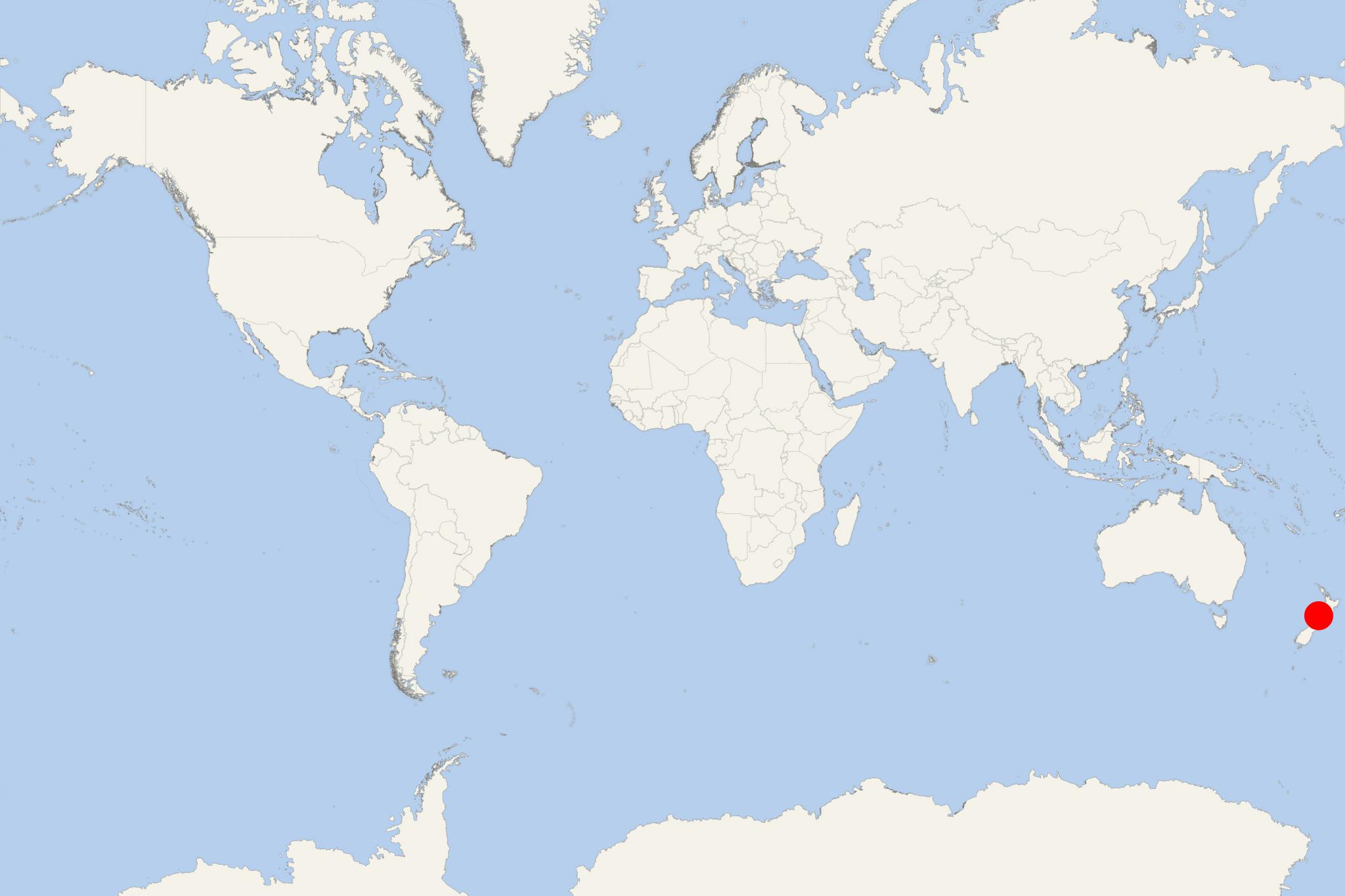
Kaiteriteri is a small seaside resort town in New Zealand's Tasman Region (on South Island), with permanent population under 500. Kaiteriteri is approx 10 km (6 mi) to the south of Marahau (Abel Tasman National Park's main gateway) and approx 12 km (8 mi) to the north of Motueka (Tasman Region's second-largest - after Richmond) via coastal roads.
Kaiteriteri's economy is almost entirely dependent on domestic holidaymakers and tourism-related businesses - accommodation providers (guest houses, B&Bs, motels, lodges, campgrounds), restaurants, cafes, pub bars, as well as adventure tours (mainly into the Abel Tasman NP).
During the summer months/peak season, thousands of tourists visit the town for outdoor activities like sunbathing, swimming, sea kayaking, wildlife viewing, camping, trailing (walking, mountain biking), boat tours (to Abel Tasman NP). Abel Tasman is at South Island's northern end, between Golden Bay (Mohua) and Tasman Bay (Te Tai-o-Aorere).
The Park is named after Abel Tasman (1603-59/Dutch merchant and explorer). While serving the United East India Company (aka Dutch East India Company/1602-1799), in 1642 he became the first European to visit New Zealand (anchored in Golden Bay) as well as Fiji and Tasmania Island (originally named Van Diemen's Land).
Abel Tasman NP (1942-established) covers a land area of approx 237 km2 (92 mi2 / 23876 hectares / 59000 acres). The scenery is marked by forested hills, two rivers (Takaka and Riwaka), Golden Bay, and Tasman Bay. The Park also includes some off-coast islands (Tata Islands, Tonga Island, Adele Island, Fisherman Island). Wildlife is dominated by seabirds (petrels, cormorants, seagulls, terns, herons, penguins), goats, wild pigs, deer.
Abel Tasman Coast Track (length 60 km / 37 mi) is the Park's longer walking track (and NZ's most popular tramping track), extending from Marahau (south) to Wainui (north). The Park's other/shorter hiking track is Abel Tasman Inland Track (38 km / 24 mi) running through the Park's center, between Tinline Bay (near Marahau) and Torrent Bay/Rakaruoa. Single-day walks are the most popular. Most of the ~200,000 tourists that visit Abel Tasman NP at least partially walk the Coast Track. Both Tracks can be walked independently (staying at NZ's Department of Conservation's campsites and huts) or through guided tours by local operators, with included boat travel and overnight camping/lodging. Many tourists combine hiking with kayaking.
- Cruise Industry

Heritage Expeditions announces 2025 New Zealand cruises celebrating 40 years of exploration
Heritage Expeditions, a leading expedition cruise company based in New Zealand, has unveiled its 2025 Kiwi Cruise Season, marking 40 years of...
March 29, 2024 - show more news
