Kamchatka Peninsula (Russia)
Cruise Port schedule, live map, terminals, news
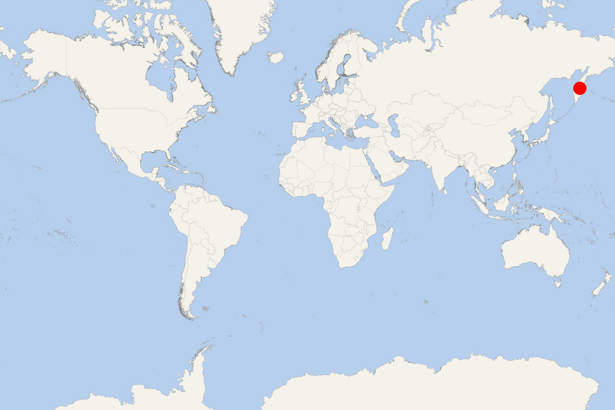
Kamchatka Peninsula is part of the Russian Far East territories. It covers a total area of approx 270,000 km2 (100,000 mi2) located in the Pacific Ocean and to the west of Sea of Okhotsk. Russian Federation's Kamchatka Krai (administrative region) consists of Commander Islands, Karaginsky Island and the Kamchatka Peninsula.
Kamchatka's total population is around 320,000 (ethnic Russians) plus ~13,000 Natives (Koryaks). Most of the population is in Petropavlovsk-Kamchatsky (~180,000) and in Yelizovo (~40,000).
With the Peninsula's name was originally honored the nuclear icebreaker NS Kamchatka/now Stalingrad (2028).
Cruise ships visiting the Kamchatka Peninsula may also stop at Karaginsky Island and at the much smaller Verkhoturov Island - approx 45 km (28 mi) to the north.
Karaginsky Island is an uninhabited isle in the Karaginsky Gulf (Bering Sea). It is separated from the Kamchatka Peninsula by the Litke Strait (width 40 km / 25 mi). The island has length of 101 km (63 mi) and width of 27 km (17 mi), total area of 2404 km2 (928 mi2) and highest elevation of 912 m (2992 ft). Migrant reindeer herders live on the island in temporary shelters. The Island is covered with tundra vegetation (many flowers.
Verkhoturov Island has length of 3,5 km (2 mi) and average width of 0,5 km (0,3 m).
The list of the most visited by cruise vessels destinations on the Kamchatka Peninsula includes:
Lavrova Bay (part of the Koryaksky Nature Reserve) is uninhabited. It features a shipwreck from the 1970s, an abandoned fish camp, exotic scenery (conical peaks, jagged cliffs, valleys with waterfalls, freshwater streams), wildlife (brown bears, mountain sheep, Arctic hare, Steller’s sea eagles).
Petra Bay has a lighthouse at its entrance and two lakes at its end. Wildlife is represented by spotted seals (aka larga seal) and lots of birds.
Russkaya Bay ("Russian Bay", aka Akhomten zaliv) is located in the Avachinskiy Gulf's southwestern part. It has length of 2,5 mi, width of 0,5 mi, rocky shores, mountains (called “Seals’ shallow”). This bay (zaliv in Russian) is often used by ships as a temporal stop during poor weather and also for taking fresh water. At the beginning of the Great Patriotic War (1939-45), the “Russian Bay” became one of the main harbors of the forming caravans from cargo ships carrying strategic goods from ports in Canada and the USA to Vladivostok. By the 1870s (when Russia's commercial fishing and fish-processing fleets were formed), the bay was used actively for fresh water supply (from natural reservoirs), as well as for transshipment (of fish), fishery equipment, and crew exchange. The narrow bay and the surrounding steep mountain slopes make it to resemble in form a fiord. This is one of the Petropavlovsk region's most picturesque destinations.
Utashud Island is located in Vestinik Zaliv (Messenger Bay) across from the Vestnik River's estuary. The island is actually three small islands, two of which linked, while the third one during low tide is reachable on foot. The landscape features flat slopes and the remains of a partially-sunken ship. Wildlife is represented by brown bears, a large population of sea otters, seals (Steinneger’s and spotted), grey whales (spring through late December), large colonies of seabirds (10 different species, over 22,000 pairs, including slaty-backed gull, tufted puffin, sea eagles).
Kvachina River and Utkholok Peninsula's water basins total 736,000 acres (around 3,000 km2) and meet at Cape Utkholok to drain into Sea of Okhotsk.
Govena Peninsula (in the northern part) is bounded by Olyotorsky Bay and by Olyotorsky Peninsula. This area features picturesque fjords, Jagged mountain peaks, abundant wildlife (brown bears, mountain sheep, Arctic hare).
Bukhta Yuzhnaya Glubokaya is a bay near Novoolyutorka (on the Peninsula's eastern coast). Other popular with their scenery places are Lisvenichnaya (in Avacha Bay) and Kekurny Cape (in Russkaya Bay).
Anastasiya Bay (also Anastasia Bay) is part of Dezneva Bay. Here (mainly small) cruise ships anchor and their passengers board the ship's Zodiac boats to go ashore to the nearby coves for wildlife watching (walrus).
Olyutorsky Gulf is bounded by Govena Peninsula (separating it from Korfa Bay) and by Olyutorsky Peninsula. This bay extends around 83 km (52 mi) inland, has max width of 228 km (142 mi) and max depth of 1km (0,6 mi). On its western coast is the Pylginsky Ridge (with highest elevation point 1357 m/4452 ft). The bay is ice-covered between December and May.
Kronotsky Nature Reserve (UNESCO World Heritage Site) is a protected wilderness area reserved for natural sciences studies in Russia's Far East. The park was created in 1934, totaling 10990 km2 (4240 mi2). The park contains Russia's only geyser basin (Valley of Geysers), several mountain ranges, numerous volcanoes (some active, up to 3,5 km / 11500 ft high). Kronotsky Nature Reserve is visited mainly by scientists, but also by over 3,000 tourists annually (including cruise ship passengers). Tourists must obtain permits. Land-based tourists come here via helicopters and pay a fee of around USD 700 for a day visit. Wildlife is represented by over 750 plant species, a large population of over 800 brown bears (some weighing over 540 kg / 1200 pounds). The Valley of Geysers is the world's 2nd largest geyser field - after Mutnovsky (a volcano complex in the Kamchatka Peninsula's southern part). The Valley of Geysers has length of 6 km (3,7 mi), width of 13 km (8 mi). In this area there are approx 90 geysers and over 500 geothermal hot springs, located predominantly on the Geysernaya River's left bank. The largest geysers (at least 20 of all) can shoot more than 25 m (80 ft) into the air during minute-long eruptions that occur at approx 6 hours.
Kamchatka Peninsula cruise terminal
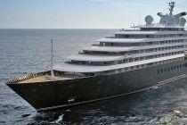
Kamchatka Peninsula is visited predominantly (almost exclusively) by small-sized, expedition-type cruise vessels, specially equipped with Zodiac s(Inflatable boats) for going ashore. Ship's crew is well-trained and expert lecturers on board provide daily information on the visited destination's history and wildlife. The cruise season is from April-May through late September, during which daily temperatures are around 20 C (70 F).
- Cruise Industry

Scenic unveils 2022-2023 Arctic programme for its ultra-luxury superyacht Scenic Eclipse
Scenic Cruises announced its 2022-2023 Arctic program for the ultra-luxury superyacht Scenic Eclipse, The World’s First Discovery Yachts. ...
April 26, 2021 - Cruise Industry

Scenic Cruises' superyacht Scenic Eclipse with new itineraries in 2022
From 2022, travellers have the opportunity to cruise to Antarctica, enjoy unique vacations to some of Japan's untouched regions and explore Russia's...
December 16, 2020 - Cruise Industry

Scenic Cruises introduces new Scenic Eclipse 2022-2023 Worldwide Voyages
The ultra-luxury travel brand Scenic Cruises released Scenic Eclipse yacht’s 2022-2023 program (Worldwide Discovery Voyages) featuring new...
December 8, 2020 - Cruise Industry

Hapag-Lloyd Cruises Stop Using Heavy Fuel Oil
Hapag-Lloyd Cruises announced it will exclusively use low-sulfur MGO (Marine Gas Oil) on all routes operated by company's current fleet (MS Bremen...
January 13, 2019 - show more news

 11°F
11°F 
 Very Light