Kangerlussuaq (Greenland)
Cruise Port schedule, live map, terminals, news
Region
Iceland - Greenland - Faroe Islands
Local Time
2024-11-24 13:00
 9°F
9°F -12.7°C

 Very Light
0.5 m/s
 18 °F / -7 °C
 -9 °F / -22 °C
Port Kangerlussuaq cruise ship schedule shows timetable calendars of all arrival and departure dates by month. The port's schedule lists all ships (in links) with cruises going to or leaving from Kangerlussuaq, Greenland. To see the full itineraries (ports of call dates and arrival / departure times) and their lowest rates – just follow the corresponding ship-link.
| Day | Ship | Arrival | Departure |
|---|---|---|---|
| 3 July, 2024 Wednesday | |||
| 13 July, 2024 Saturday | |||
| 15 July, 2024 Monday | |||
| 18 July, 2024 Thursday | |||
| 18 July, 2024 Thursday | |||
| 23 July, 2024 Tuesday | |||
| 23 July, 2024 Tuesday | |||
| 24 July, 2024 Wednesday | |||
| 29 July, 2024 Monday | 05:00 | 17:00 |
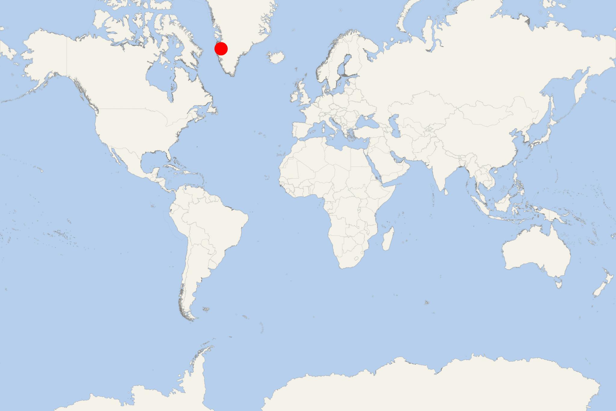
Kangerlussuaq (aka Sondre Stromfjord) is an airbase, an international airport and a port village (population around 500) located in central-western Greenland (Qeqqata municipality). The port is located at the head of Kangerlussuaq Fjord, with entrance southeast of Sisimiut. The fjord has length 190 km (120 mi) long and withd 1,5-8 km (1-5 mi), extending northeastward from Davis Strait to the edge of an inland ice cap, where its arms are fed by glaciers. The former US air base (used during WW2 / 1939-45) is now serves an international airport. The facility serves mainly domestic flights by both planes and helicopters.
Kangerlussuaq Fjord is navigable (excepting during winter). The seaport Kangerlussuaq is approx 20 km (12 mi) west of Kangerlussuaq Airport. The port is fairly shallow (suitable for smaller-sized vessels only) and mainly used by supply ships of Royal Arctic Line (state-owned freight company). Cruise vessels, such as Hurtigruten ships, navigate the fjord, anchoring at sea (outside the port). The area is home to Greenland's most diverse terrestrial fauna, including caribou, gyrfalcons and muskoxen. The local economy is almost entirely based on airport shipping and tourism.
A research base Sondrestrom Upper Atmospheric Research Facility (aka Kellyville) is approx 15 km (9.3 miles) west of Kangerlussuaq. The station is managed by US National Science Foundation and Danish Meteorological Institute, and hosts up to 20 instruments.
- Cruise Industry
Seabourn's 2026-2027 expedition cruises - 24 new itineraries across 31 countries
The ultra-luxury expedition travel company Seabourn announced its 2026-2027 season, grouping 24 itineraries across 31 countries, including several...
November 2, 2024 - Cruise Industry
AOV-Atlas Ocean Voyages announces 2024 Arctic season
AOV-Atlas Ocean Voyages, a pioneer in yacht expedition cruising, unveiled its 2024 Arctic Season, marking the debut of two yachts simultaneously...
February 4, 2024 - Cruise Industry
Seabourn's expedition cruise ship Seabourn Venture begins 2nd season in the Arctic
Seabourn, the leading company in ultra-luxury voyages and expedition travel, commenced its second expedition season in the Arctic. On May 12th, 2023...
May 15, 2023 - Cruise Industry
Silversea introduces direct private charter flights for 28 Arctic & Greenland cruises in 2023-2024
The ultra-premium brand Silversea introduced direct private charter flights for 28 Arctic & Greenland voyages listed in its 2023-2024 schedule...
March 12, 2023 - Cruise Industry
Quark introduces new Greenland cruise itinerary based on Ultramarine ship's helicopters
The global leader in polar adventures, Quark Expeditions, announced a new Greenland itinerary constructed around Ultramarine's 2 twin-engine...
February 2, 2023 - Cruise Industry

Seabourn Cruises offers Northwest & Northeast Passages in 2023 (ships Venture and Pursuit)
The ultra-premium travel brand Seabourn scheduled unique expeditions for summer 2023 for the fleet's newest boats - the sisterships Seabourn Venture...
December 15, 2021 - Cruise Industry

Seabourn names 2nd expedition cruise ship Seabourn Pursuit
Seabourn Cruises named its 2nd ultra-luxury, purpose-built expedition cruise ship, the 264-passenger Seabourn Pursuit. Construction for the vessel...
September 28, 2021 - Cruise Industry
Poseidon Expeditions introduces 2022 Arctic and 2022-2023 Antarctic cruise schedule
Announcing the new 2022 Arctic and 2022-2023 Antarctic polar cruise seasons 3 months earlier than usual and unveiling a return to West Greenland for...
October 23, 2020 - show more news
