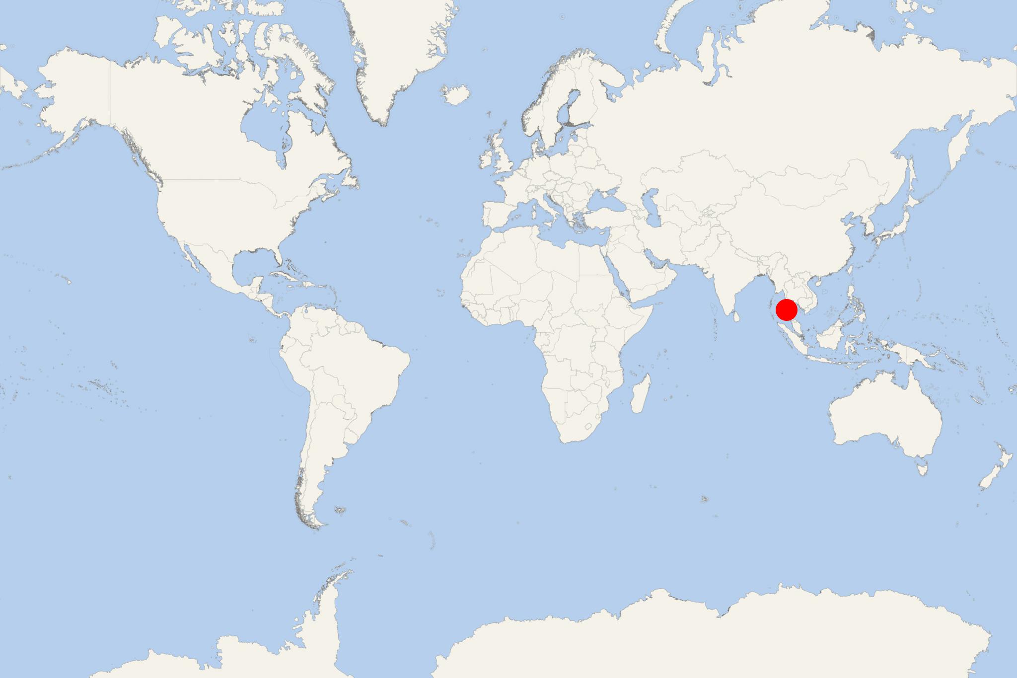
Kawthaung (Myanmar)
Cruise Port schedule, live map, terminals, news
Kawthaung is a Kyan River cruise port located in the southernmost part of Myanmar. During Burma's British rule (1824-1948), Kawthaung was known as Victoria Point.
The town is at the mouth of Kyan River on Malay Peninsula. To the west-southwest, Andaman Sea opens up to Indian Ocean. Most of region's terrain is mountainous.
Climate is tropical monsoon, temperatures are quite hot throughout the year. There are a summer wet season (April-November) and a winter dry season (December-March).
The most common spoken language is Burmese, followed by Thai, Southern Thai, Shan, Moken and Karen.
Main agriculture products include rubber, cashew nut, betel nut, coconut, oil palm.
Tourism is an important part of the local economy and Myanmar is gradually lifting immigration and travel restrictions in the area.

 82°F
82°F 
 Gentle breeze