King Island Alaska
Cruise Port schedule, live map, terminals, news
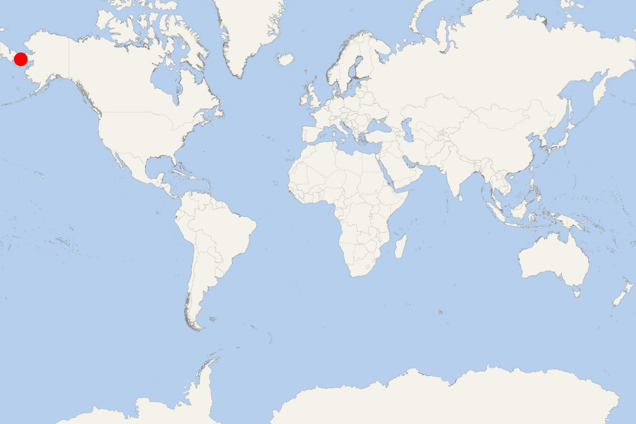
King Island (Alaska) is located in the Bering Sea, west of mainland Alaska, also south of Wales AK and approx 64 km (40 mi) west of Cape Douglas.
The island has width 1,6 km (1 mi) and features steep slopes on all shores. It was discovered in 1778 by James Cook (1728-1779, Royal Navy captain, explorer, cartographer) and named after James King, a member of the Cook's party.
King Island is currently uninhabited, but was once home to nearly 200 Inupiat people (calling themselves Ukivokmuit), living in the island's only village Ukivok. By 1970, all the islanders were moved to mainland Alaska.
Locals used to spend the summers engaging in hunting - on the island, as well as on the mainland near Nome Alaska. The winters they spent in other activities, mainly hunting (seals, walruses), ice fishing, crab fishing, bird eggs gathering. After Nome's establishment, King Island's inhabitants started selling carvings to its residents during the summer.

 32°F
32°F 
 Mod. breeze