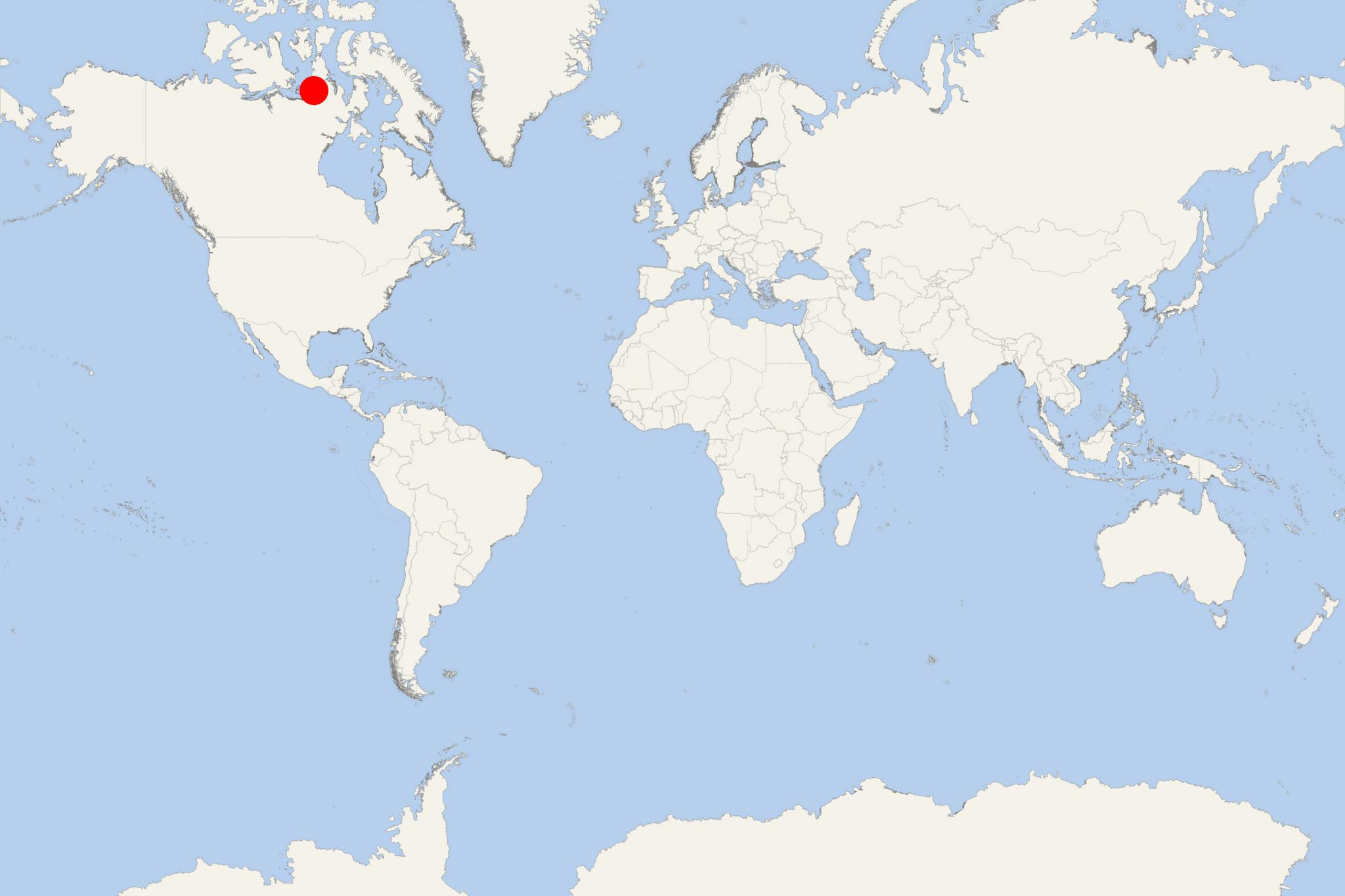
King William Island (Gjoa Haven, Nunavut Canada)
Cruise Port schedule, live map, terminals, news
Region
Arctic - Antarctica
Local Time
2024-12-11 14:36
 -27°F
-27°F -32.7°C

 Very Light
1.6 m/s
 -20 °F / -28 °C
 -32 °F / -35 °C
Port King William Island cruise ship schedule shows timetable calendars of all arrival and departure dates by month. The port's schedule lists all ships (in links) with cruises going to or leaving from King William Island, Gjoa Haven, Nunavut Canada. To see the full itineraries (ports of call dates and arrival / departure times) and their lowest rates – just follow the corresponding ship-link.
| Day | Ship | Arrival | Departure |
|---|---|---|---|
| 20 August, 2024 Tuesday | |||
| 30 August, 2024 Friday |
King William Island (previously named King William Land, Qikiqtaq) is located in the Nunavut's Kitikmeot Region, part of Canadian Arctic Archipelago.
The island has a total area of 13111 km2 (5062 mi2) ranking it the world's 61st largest and Canada's 15th largest island. Its highest elevation point is 137 m (449 ft). The population is around 1500 people, all of whom live in Gjoa Haven - the isle's only community.
King William Island is separated from Boothia Peninsula by Rae Strait to the east and James Ross Strait to the northeast. To the west is Victoria Strait, beyond it Victoria Island. Within Simpson Strait, to the south, is Todd Island; beyond it is Adelaide Peninsula. To the southwest lies Queen Maud Gulf.
The island is famous for its large population of caribou. While searching for the Northwest Passage, many polar explorers visited King William Island.
Victoria Strait
Victoria Strait is a sea channel (waterway) in the Arctic Ocean (Nunavut, Arctic Canada). It is located off mainland Canada - between Victoria Island (to the west) and King William Island (to the east). North to south the Victoria Strait links M'Clintock Channel and Larsen Sound with Queen Maud Gulf.
The strait has length of approx 160 km (100 mi), width between 80-130 km (50-80 mi) and is almost without islands (excepting the Royal Geographical Society Island at its extreme south (within the Queen Maud Gulf).
Altough Victoria Strait has never been surveyed comprehensively, some of its charted portions indicate water depth of only 10 m (30 ft). This allows smaller ships (with draft under 10 m) to navigate it. However, most of the year its waters are covered with pack ice, much of it being polar ice flowed from Viscount Melville Sound through McClintock Channel. The strait is relativelly free of ice between late July and late September when it freezes again.
Due to the strait's hazards, a longer shipping route is used (around King William Island) which is easier for navigation, but with lesser depth.
In 1967, Victoria Strait was used for the first time by the Canadian icebreaker ship CCGS John A Macdonal. In 1969, the ice-strengthened supertanker SS Manhattan was the ever first cargo ship that traversed the strait. The vessel was accompanied (assisted) by the icebreaker John MacDonald. This voyage was only done to test the Passage as an alternative to the Alaska Pipeline project. The Passage was determined not economical and the Trans-Alaska Pipeline System was built (between 1974-1977). The icebreaker crossed the strait again in 1975. In 1976, it was crossed by the USCG icebreakers "Louis S St-Laurent" and "J E Bernier".
Victoria Island is among the Arctic Ocean territories along the Northwest Passage route.
King William Island cruise terminal
Cruise ships to King William Island Canada dock (anchor) at Gjoa Haven - port town (and only settlement) on the southeastern coast.
