Kiritimati-Christmas Island (Line Islands, Kiribati)
Cruise Port schedule, live map, terminals, news
Region
Australia - New Zealand - Pacific Ocean Islands
Local Time
2025-04-19 13:37
 81°F
81°F 27.1°C

 Mod. breeze
7 m/s
 81 °F / 28 °C
 80 °F / 27 °C
Port Kiritimati-Christmas Island cruise ship schedule shows timetable calendars of all arrival and departure dates by month. The port's schedule lists all ships (in links) with cruises going to or leaving from Kiritimati-Christmas Island, Line Islands, Kiribati. To see the full itineraries (ports of call dates and arrival / departure times) and their lowest rates – just follow the corresponding ship-link.
| Day | Ship | Arrival | Departure |
|---|---|---|---|
| 24 October, 2026 Saturday | 08:00 | 15:00 |
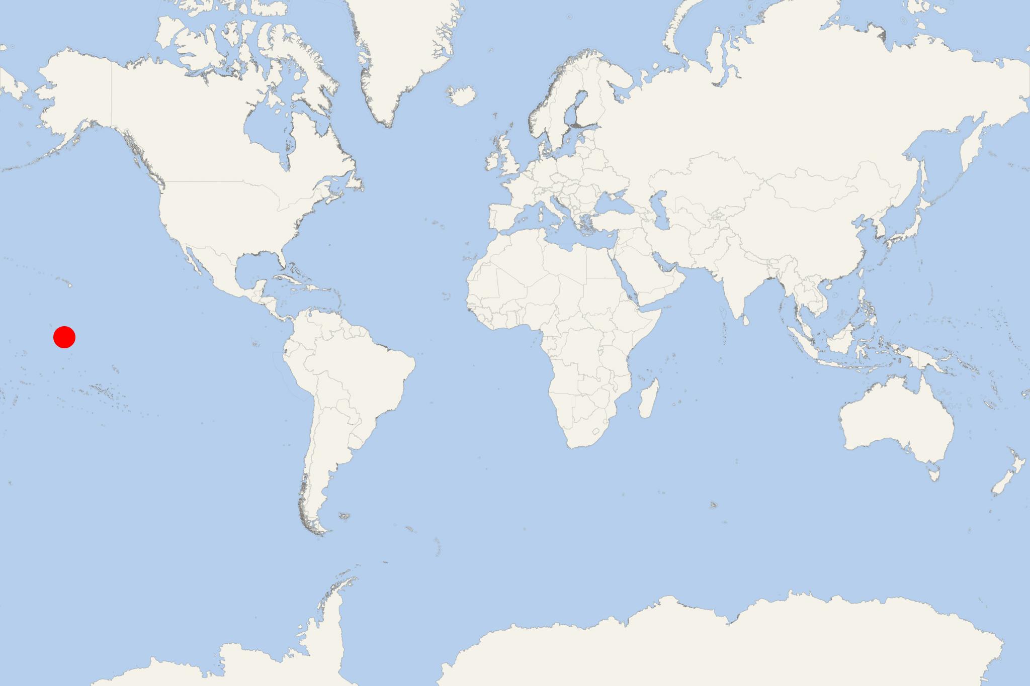
Christmas Island (originally Kiritimati) is a coral atoll in the northern Pacific Ocean, part of the Republic of Kiribati. Next map of Kiribati's Christmas Island shows the lagoon, airport, both bays and ports.
- Cruise Industry

Dream Cruises Introduce Southeast Asia Summer Itineraries for 2020
Dream Cruises (subsidiary of GHK) is showcasing the best of Southeast Asia via signature itineraries for summer 2020 that feature new port...
July 24, 2019 - Cruise Industry

Crystal Announces Endeavor’s 2021 Deployment
Crystal Expedition Cruises announced the complete 2021 deployment for the luxury expedition yacht Crystal Endeavor. During expedition voyages that...
March 7, 2019 - show more news
