Koh Hong Island Thailand
Cruise Port schedule, live map, terminals, news
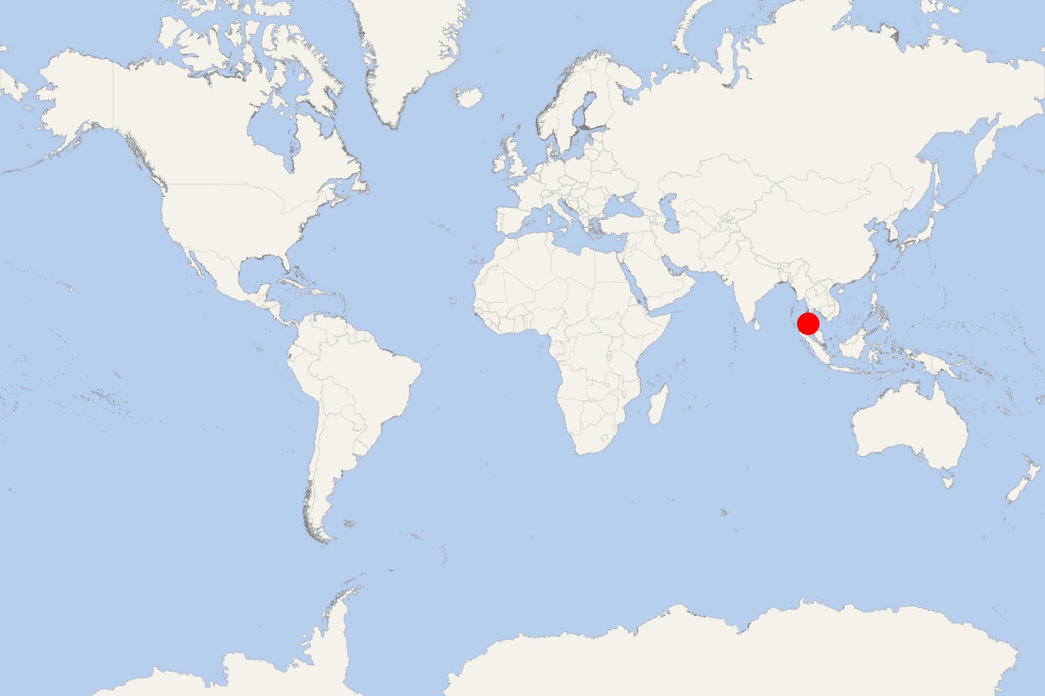
Koh Hong Island is located in Gulf of Thailand (Cambodia's coastal waters), approx 10 km (6 ml) south of Koh Kong Town. The island is Cambodia's largest, with total area 100 km2 (39 ml2).
Koh Hong Island has length 20 km (12 ml) north-south and avrg width 6 km (4 ml) east-west. Passe de Lamdam Strait separates the island from mainland Cambodia. The island's southern tip is less than 4 km (2 ml) off mainland Cambodia.
The only settlements are 3 small fishing villages - Phumi Thmei (eastern coast), Phumi Koh Kong (western) and Alatang (southeastern coast). Island's interior is hilly, with highest elevation point 360 m (1180 ft). Rugged rock formations create numerous waterfalls. Rivers from the mountains end in lagoons and freshwater estuaries, flanked by splendid beaches.
Koh Hong 's north end is controlled by the military. Camping is allowed only on beaches 5 and 6, and also at the military post (Alatang village).
The entire island remains in relatively pristine state.Large areas of the eastern coast and the Bay are engulfed in mangrove forests. In the surrounding waters can be seen whale sharks, dolphins and exotic fish (Snapper, Parrot, Grouper, King, Wahoo, Cobia, swordfish, Barracuda), sea turtles, crabs, shrimp, squid.
Koh Hong Island Thailand cruise terminal
Cruise ships to Koh Hong Island dock (anchor) at Koh Kong - port town on the western coast.

 87°F
87°F 
 Gentle breeze