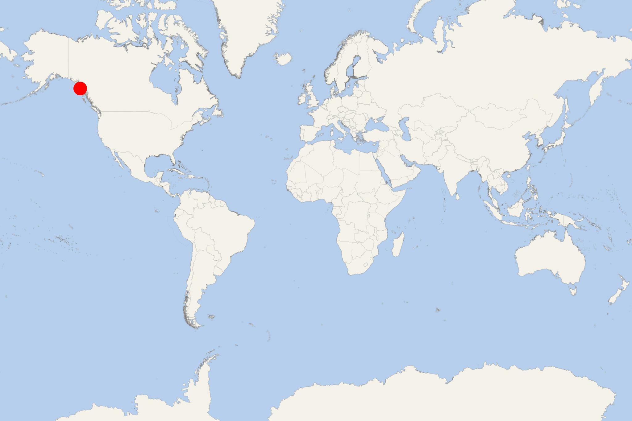
Kuiu Island (Alaska)
Cruise Port schedule, live map, terminals, news
Port Kuiu Island cruise ship schedule shows timetable calendars of all arrival and departure dates by month. The port's schedule lists all ships (in links) with cruises going to or leaving from Kuiu Island, Alaska. To see the full itineraries (ports of call dates and arrival / departure times) and their lowest rates – just follow the corresponding ship-link.
| Day | Ship | Arrival | Departure |
|---|---|---|---|
| 30 April, 2025 Wednesday |
Kuiu Island is part of Alexander Archipelago (Southeast Alaska) and also part of Tongass National Forest - the USA's largest forest with total area over 69000 km2 (26640 mi2).. The island is located between Kupreanof Island (to the east) and Baranof Island (to the west, separated by Chatham Strait). To the north are the Keku Islands.
Most cruise ships to Kuiu Island AK anchor either at Tebenkof Bay (on the western coast) or at Saginaw Bay (on the northern coast).
The island has length 105 km (65 mi) and width between 10-23 km (6–14 mi). By total area (1936 km2 / 748 mi2) it is ranked USA's 15th largest island. Its entire population is just around 10 people.
Cape Decision Light (built 1929-1932) is a lighthouse (an active navigation aid) located on the southern tip. The lighthouse has a helipad and became automated in 1974. Its original Fresnel lens were replaced with solar-powered beacon in 1996. The replaced lens are on display in Clausen Museum in Petersburg (on Mitkof Island).
The island also has two protected wilderness parks Kuiu Wilderness and Tebenkof Bay Wilderness.
Chatham Strait
Chatham Strait is a narrow waterway (passage) in Alexander Archipelago that separates Baranof Island (Sitka) and Chichagof Island (to the west) from Kuiu Island and Admiralty Island (to the east).
Chatham Strait has length of 240 km (150 mi) and width of 5-16 km (3-10 mi), extending southwards from the junction of Lynn Canal and Icy Strait to the open sea.

 39°F
39°F 
 Light breeze