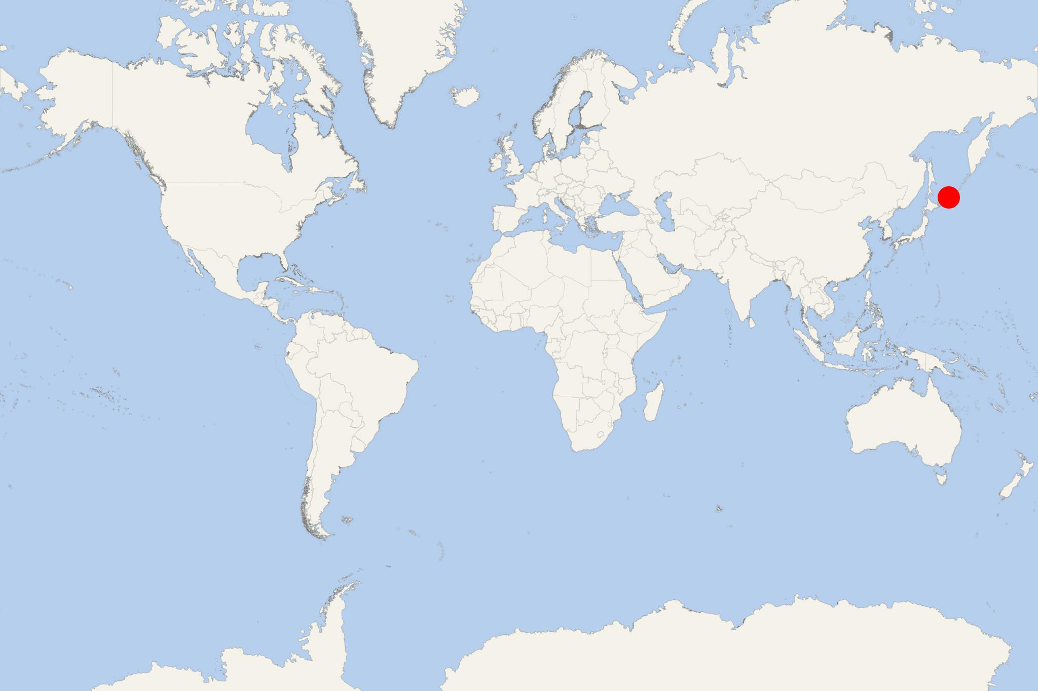
Kuril Islands (Russia)
Cruise Port schedule, live map, terminals, news
Kuril Islands (aka Kurile Islands/Kurilskie Ostrova/"ÐÑÑилÑÑкие оÑÑÑова") are part of Russia's Sakhalin Oblast (comprises the Kurils plus Sakhalin Island).
This is an archipelago of volcanic isles stretching nearly 1300 km (810 mi) northeast from Hokkaido Island (Japan) to Kamchatka Peninsula (Russia). This large island group consists of 56 main islands plus many small-sized islets and rocks and separates Sea of Okhotsk from the northern Pacific Ocean.
The archipelago is divided into 2 main groups - Lesser Kuril Ridge (South Kurils, Shikotan, Habomai Islands) and Greater Kuril Ridg (North Kurils, Iturup, Kunashir). The whole group has a total land area of 10500 km2 (4055 mi2) and total population around 20,000.
Lesser (south) Kurils are separated from Greater (north) Kuril isles by South Kuril Strait. The lesser chain's length is approx 100 km (62 mi), with a total land area of 361 km2 (139 mi2), including 6 large-sized and several smaller isles. The largest among those are named Shikotan (264 km2), Zeleny (59 km2), Tanfilyev (13 km2), Polonsky (12 km2), Yuri (10 km2), Anuchin (2 km2).
Greater (north) Kurils' chain has length 1200 km (746 mi) and total land area 10100 km2 (3900 mi2).
Lovyshki Islands are a group (within the Kurils) consisting of several small-sized rocky islets. They are in the archipelago's center, between the Shiashkotan and Raikoke. Lovyshkis (actually, clustered rocks) are home to large populations of sea mammals and seabirds, including northern fur seals, sea lions, crested auklets.
All Kuriles are under the Russian Federation's jurisdiction. However, Japan currently claims the 2 southernmost big-sized islands (Kunashir and Iturup), as well as the Habomai and Shikotan groups as the "Northern Territories" of Japan. The Kuril Islands dispute between Japan and Russia is over the sovereignty of the South Kuril Islands. These former Japanese territories (like the rest undisputed Islands) were annexed by USSR at the end of WW2 (1945). They are still claimed by Japan and include Iturup (Etorofu), Kunashir, Shikotan, and the Habomai Islands.
The next map shows the Kurils' acquisition by Russia in the years 1875-1855-1945.
Regularly scheduled ferries link the Kurils with Sakhalin Island. The ferry service is based on ~24-hour crossings leaving roundtrip from Sakhalin's Port Korsakov. The route connects the islands Iturup (Kurilsk), Kunashir (Yuzhnokurilsk) and Shikotan (Malokurilskoye).
Since 2021, the service is provided by two newbuild ferries with icebreaking capacities - the sisterships Admiral Nevelskoy and Pavel Leonov.
Kuril Islands cruise terminal
Most cruise ships to Kuril Islands dock (anchor) at Severo-Kurilsk - port town in the northern part of the islands, on Paramushir.
Next are listed the most visited by (mainly small-sized and luxury) cruise ships Kuril Isles.
Atlasov (Latitude 50.86925, Longitude 155.56356, area 150 km2, uninhabited, port/landing point: Alaidskaya Bay) - Greater Ridge, west of Paramushir Island
Chirpoy (Latitude 46.52646, Longitude 150.86373, area 21 km2, uninhabited, port/landing point: Peschanaya Bay) - Lesser Ridge, northeast of Iturup Island
Iturup (area 3280 km2, population ~7000) - port/landing point: Kurilsk
Kunashir (area 1499 km2, population ~8000) - port/landing point: Yuzhno-Kurilsk
Makanrushi (Latitude 49.79870, Longitude 154.43724, area 50 km2, uninhabited, port/landing point: Zakat) - Greater Ridge, northwest of Onekotan Island
Matua (area 52 km2, uninhabited, port/landing point: Sarychevo
Onekotan (area 425 km2, uninhabited) - port/landing point: Mussel
Paramushir (area 2053 km2, population ~2500) - port/landing point: Severo-Kurilsk
Simushir (Latitude 46.965, Longitude 152.04583, area 360 km2, uninhabited, port/landing point: Kraternyy) - Greater Ridge, southwest of Ketoy Island
Shiashkotan (area 122 km2, uninhabited) - port/landing point: Makarovka
Shikotan (area 255 km2, population ~2500) - port/landing point: Malokurilskoye
Shumshu (Latitude 50.81950, Longitude 156.44629, area 388 km2, population under 50, port/landing point: Baikovo) - Greater Ridge, northeast of Paramushir Island
Urup (area 1450 km2, uninhabited) - port/landing point: Mys Kastrikum
Ushishir (Latitude 47.52, Longitude 152.8, area 5 km2, uninhabited, port/landing point: Kraternya) - Greater Ridge, between Ketoy (to the southwest) and Rasshua (to the northeast)
- Cruise Industry

Crystal Endeavor to Make 3 Japan-Based Cruises from Tokyo 2020
The expedition ship Crystal Endeavor, designed to cruise to Antarctic Peninsula, Adelie Coast, Ross Sea, South Georgia (UK), Falkland Islands...
June 19, 2019 - show more news

 35°F
35°F 
 Fresh breeze