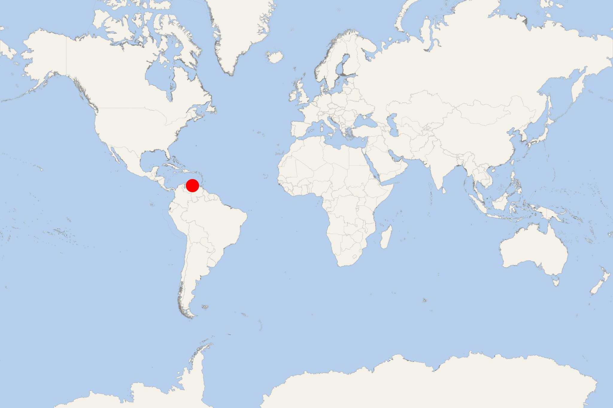
La Guaira (Venezuela)
Cruise Port schedule, live map, terminals, news
Region
Bahamas - Caribbean - Bermuda
Local Time
2025-04-13 13:45
 81°F
81°F 27.1°C

 Very Light
1.4 m/s
 85 °F / 30 °C
 70 °F / 22 °C
La Guaira is Venezuela's main seaport and large city on the Caribbean coast, with population over 270,000. The town was established in 1567 and features a well-preserved Old Town (with colonial architecture) and beautiful beaches nearby.
Port La Guaira was founded as the gateway to Caracas (Venezuela's capital and largest city). During the 18th century, the town, with almost no land to develop, became a major harbour. Attacked by pirates, Dutch, English and French ships, it was transformed into a fortified city.
El Placer is an underwater ridge located approx 19 km (12 ml) off the coast from La Guaira. The bank rises from 90 m (295 ft) in the surrounding region to 260 m (850 ft). It provides structure to deep-sea organisms (like corals and sponges) requiring ocean currents to bring food to them. In 1999, this area was severely damaged by landslides. Caracas is reached by tour bus or taxi via a steep climb through mountain's long tunnels.
Outside Caracas, cruise tourists can visit Parque Nacional El Avila for a cable car ride to Mt Avila's top, providing the best scenic views of the city. Also worth seeing is the mountain town Colonia Tovar, founded in 1843 by German immigrants.
