Lacepede Islands (Kimberley, Western Australia)
Cruise Port schedule, live map, terminals, news
Region
Australia - New Zealand - Pacific Ocean Islands
Local Time
2024-11-25 00:38
 85°F
85°F 29.7°C

 Light breeze
3.1 m/s
 87 °F / 31 °C
 84 °F / 29 °C
Port Lacepede Islands cruise ship schedule shows timetable calendars of all arrival and departure dates by month. The port's schedule lists all ships (in links) with cruises going to or leaving from Lacepede Islands, Kimberley, Western Australia. To see the full itineraries (ports of call dates and arrival / departure times) and their lowest rates – just follow the corresponding ship-link.
| Day | Ship | Arrival | Departure |
|---|---|---|---|
| 8 June, 2024 Saturday | |||
| 10 June, 2024 Monday | |||
| 10 June, 2024 Monday | |||
| 21 June, 2024 Friday | 07:00 | 17:00 | |
| 23 June, 2024 Sunday | 07:00 | 17:00 | |
| 28 June, 2024 Friday | |||
| 30 June, 2024 Sunday |
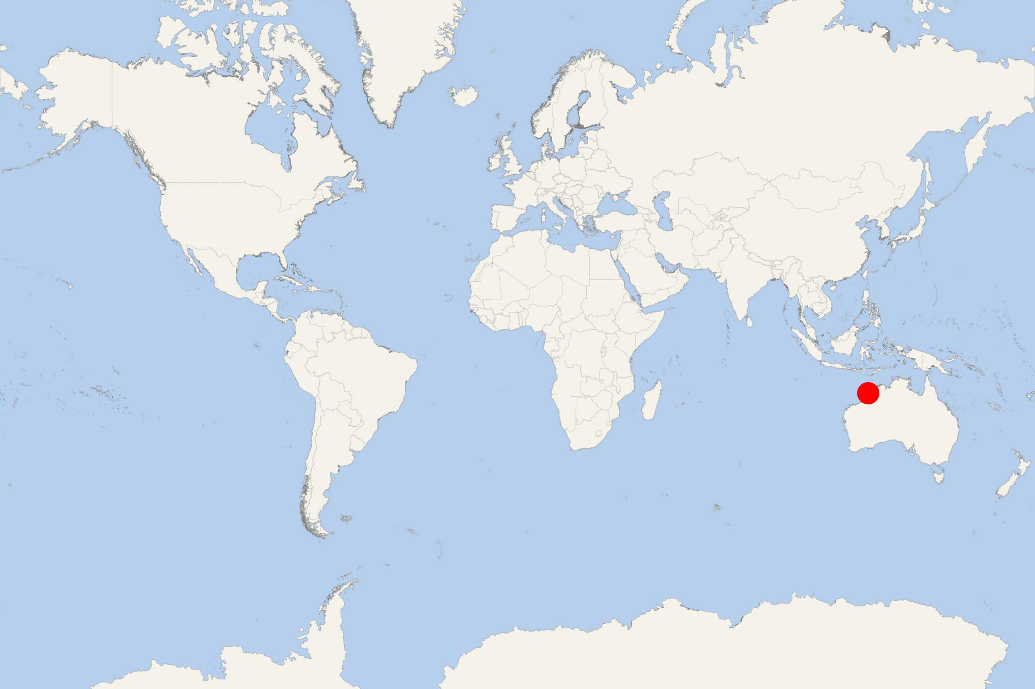
Lacepede Islands (aka Lacepedes) are a 4-island group located off Western Australia's Kimberley Coast, approx 120 km (75 mi) north of Broome. The isles are approx 30 km (19 mi) from Dampier Peninsula (mainland Australia, and north of Broome) being separated via Lacepede Channel. The Lacepedes are an important seabird breeding territory.
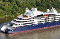
Cruise ships to Lacepede Islands dock (anchor) at Broome in Western Australia's northwest, on the northern side of Indian Ocean's Roebuck Bay.
The small archipelago is a 12 km (7,5 mi) long chain of 4 islands currently named East Island, West Island, Middle Island and Sandy Island. They are all low spits of coral rubble and coarse sand, lying atop a coral reef. The islands are treeless, with only low vegetation. Their average annual rainfall is ~750 mm. On East Island is the East Island Lighthouse.
The group is designated A-Class Reserve and managed by Western Australia's Department of Parks and Wildlife. In 1986 rats were eradicated to allow isles' recolonization by nesting seabirds. They are also Western Australia's most important breeding habitat for green sea turtles (aka Pacific green turtles). In their waters had been seen Omura's whales (aka dwarf fin whales) - one of the least known and newly discovered baleen whales (carnivorous marine mammals).
The islands were named in August 1801 by Nicolas Baudin (French explorer and cartographer, 1754-1803) during his 2-ship expedition around Australia (fka New Holland). Their name honors Bernard Germain de Lacepede (1756-1825, French naturalist). The Lacepedes were first charted on a map of 1811. The island group was originally named "Napoleon, Grant and Victoria islands".
- Cruise Industry

Ponant's Le Laperouse ship to offer a solar eclipse cruise in 2023
A new voyage from Smithsonian Journeys and French luxury line Ponant offers travelers a special way to watch the solar eclipse. The 16-day voyage...
September 5, 2022 - Cruise Industry

Coral Expeditions launches 2 new North Australian expeditions in 2022
Australia’s small ship cruise line Coral Expeditions (fleet) announced 2 special "Across the Top of Australia" itineraries for early-2022. The...
July 9, 2021 - show more news
