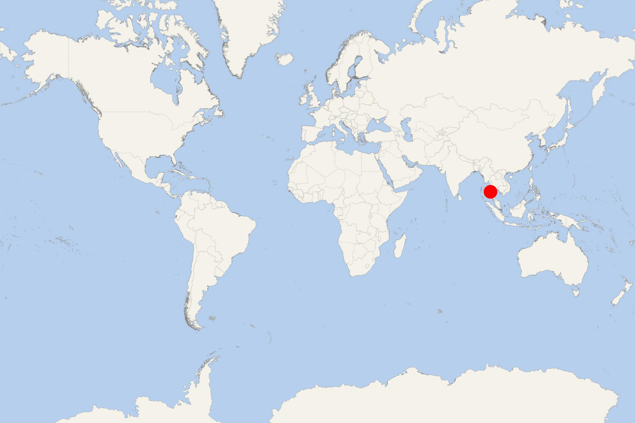
Lampi Island Burma (Myanmar)
Cruise Port schedule, live map, terminals, news
Lampi Island (aka Sullivan's Island, Lambi, and Lanbi Kyun) is a thickly forested island located in Mergui Archipelago (Burma). The island covers a total area of approx 188 km2 (73 mi2), making it one of the group's largest.
Following the Indian Ocean earthquake and tsunami in 2004, a total of 200 Moken people died on the island. Lampi Marine National Park has a total area of approx 205 km2 (80 mi2). Designated in 1996 as a marine national park, it is governed by Burma Nature and Wildlife Conservation. The level of protection is total. The highest elevation point is 455 m (1493 ft).
The main purposes of the nature reserve include habitat conservation of both island and marine resources. A total of 228 bird species live here, of which 19 are threatened. Among those are Wallace's hawk-eagle, plain-pouched hornbill, amphibians, reptiles, sea turtles, mammals (including sunda pangolin). Dolphins and whales are migrants to these waters.
Typical habitats of the Marine Park are coral reefs, mangrove and evergreen forests, dune and beach habitats, seagrass beds (feeding the dugongs).
Lampi Island Burma cruise terminal
Cruise ships to Lampi Island dock (anchor) at
Lampi Island Burma tours, shore excursions, hotels
City Tours and Shore Excursions
Lampi Island Marine National Park
Kyunn Tann Shey

 82°F
82°F 
 Light breeze