Little Diomede Island (Alaska)
Cruise Port schedule, live map, terminals, news
CruiseMapper currently has no ship schedule for Port Little Diomede Island (Alaska)
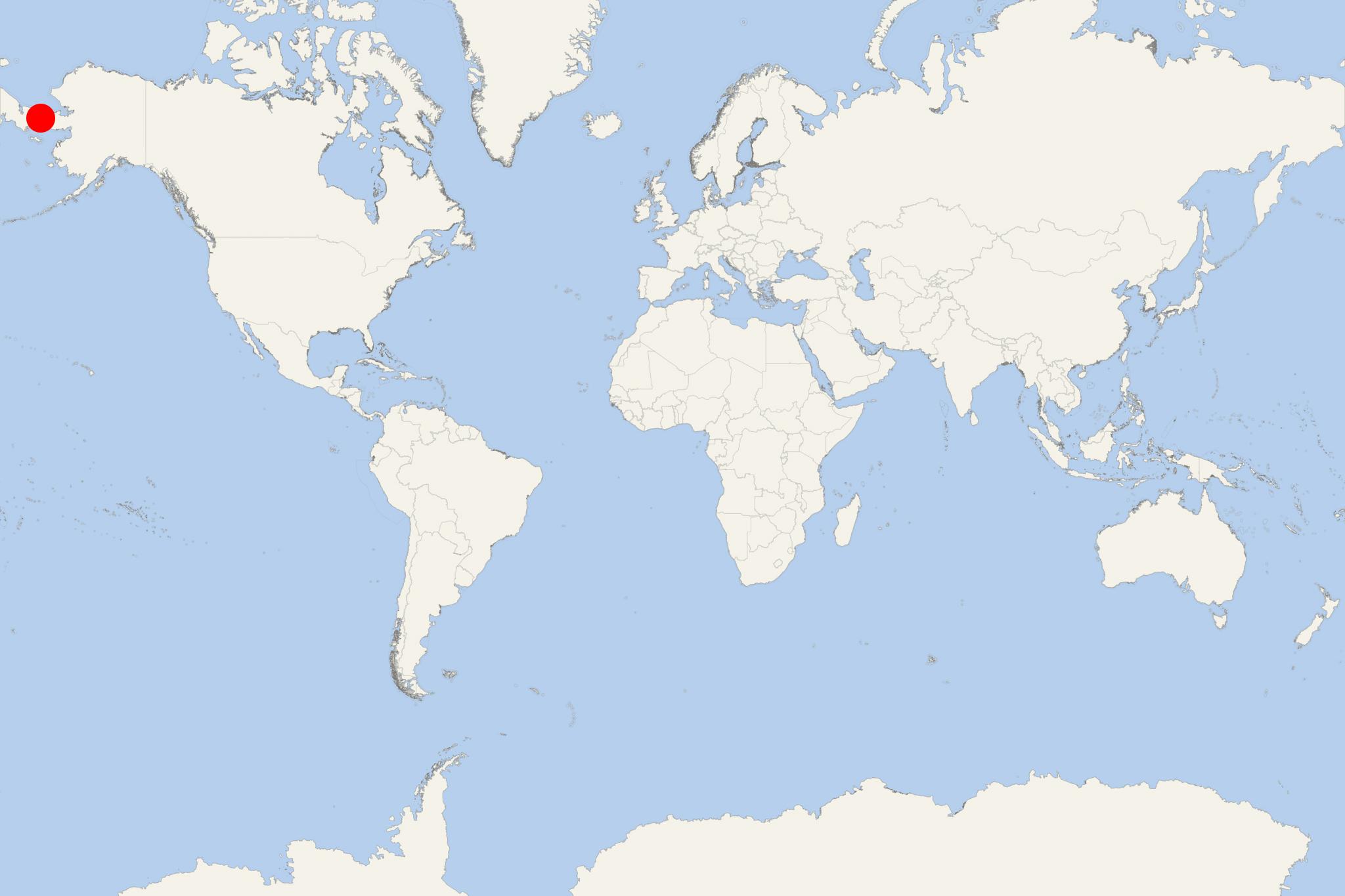
Little Diomede Island (fka Krusenstern Island) is part of Alaska USA. The island covers a total area of approx 7 km2 (3 ml2) and has population around 100. Little Diomede is 4 km (2 ml) to the west of Big Diomede Island, both in the middle of Bering Strait - between Siberia (Russia) and mainland Alaska. However, Big Diomede Island is Russian, and unlike its American neighbor has no permanent population.
- The island was discovered in 1648 by the Russian explorer Semyon Dezhnyov. The Russian navigator Vitus Bering re-discovered Diomede Islands in August 1728, on the same day (Aug 16) on which the Orthodox Church celebrates St Diomede. The island was mapped in 1732. In 1867, after Alaska's purchase by the USA, the new border was drawn between Big and Little Diomede.
- Island's highest elevation point is 494 m (1621 ft). The island is served by Diomede Heliport with regular domestic flights from mainland Alaska. In the winter, the locals carve a runway into the ice for planes to deliver vital products.
- Little Diomede Island was featured in the 1st episode of BBC's documentary "Full Circle". During the Cold War (1945-1991), a section of the USSR-USA border (separating Big and Little Diomede) was known as the "Ice Curtain". In 1987, the US long-distance open-water swimmer Lynne Cox swam from Little to Big Diomede.
Little Diomede Island cruise terminal
Cruise ships to Little Diomede Island (aka Krusenstern Island) dock (anchor) at Diomede - port town on the west coast.
- Cruise Industry

HAL-Holland America opens bookings for 2025 Alaskan cruises
HAL-Holland America Line has now opened reservations for its 2025 Alaska season. With a remarkable 75 years of experience sailing in the region...
July 20, 2023 - show more news

 3°F
3°F 
 Very Light