Lizard Island QLD (Queensland Australia)
Cruise Port schedule, live map, terminals, news
Region
Australia - New Zealand - Pacific Ocean Islands
Local Time
2025-04-16 05:43
 81°F
81°F 27°C

 Fresh breeze
10.7 m/s
 81 °F / 28 °C
 80 °F / 27 °C
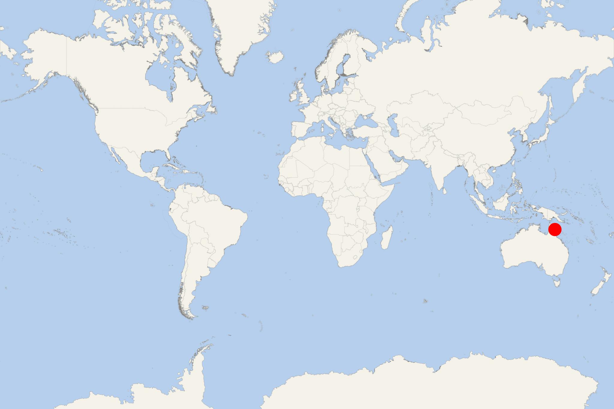
Lizard Island is part on the Great Barrier Reef in Queensland (Australia), located approx 1624 km (1009 mi) northwest of Brisbane (QLD's capital city). The island has land area approx 10 km2 ((4 mi2) and is within the government area Shire of Cook (Far North Queensland). It is also part of Lizard Island National Park (together with the 3 neighbouring isles - Palfrey, Bird, South).
Lizard Island was famous as Dyiigurra to Dingaal Aboriginal people. Dyiigurra was regarded as a sacred site and was used for the initiation of young males as well as for the harvesting of turtles, dugongs, fish and shellfish. The Dingaal believed Lizard group had been created in Dreamtime. They saw it as stingray with Lizard Island constituting the body and the other islands forming the tail. Local Dingiil Aboriginals call it "Jiigurru".
The name "Lizard Island" was given by Captain Cook on August 12, 1770, when he passed it. He commented that the only land Animals they saw there were Lizards, and those seemed to be plenty, which occasioned his naming the Island Lizard Island. Captain Cook climbed the peak on the island to chart a course to sea through the reefs which confronted him and since then island's summit has been called ‘Cook's Look’.
In 1939, all islands in the Lizard Island Group were declared a national park, currently administered by Queensland Parks and Wildlife Service. Lizard Island is also part of the Great Barrier Reef Marine Park.
- Cruise Industry

Coral Expeditions Australia launches new Christmas season cruises
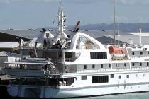
Coral Expeditions Australia (fleet) revealed its Christmas 2021 cruises, including two voyages on the newbuild/2021-inaugurated boat Coral Geographer...
November 8, 2021 - Cruise Industry

Coral Expeditions restarts operations for Australians on October 14
Coral Expeditions confirmed a restart of operations for October 14, 2020, with a series of new 7-night voyages onboard its yacht-like MV Coral...
September 21, 2020 - Cruise Industry

Coral Expeditions Announces Great Barrier Reef Expeditions
Coral Expeditions launched a re-imagined program of Great Barrier Reef expedition cruises from June 2021 featuring longer, more immersive experiences...
January 18, 2020 - show more news
