Majuro (Marshall Islands)
Cruise Port schedule, live map, terminals, news
Region
Australia - New Zealand - Pacific Ocean Islands
Local Time
2025-04-03 18:44
 81°F
81°F 27.2°C

 Fresh breeze
9.5 m/s
 81 °F / 28 °C
 79 °F / 26 °C
Port Majuro cruise ship schedule shows timetable calendars of all arrival and departure dates by month. The port's schedule lists all ships (in links) with cruises going to or leaving from Majuro, Marshall Islands. To see the full itineraries (ports of call dates and arrival / departure times) and their lowest rates – just follow the corresponding ship-link.
| Day | Ship | Arrival | Departure |
|---|---|---|---|
| 4 May, 2025 Sunday |
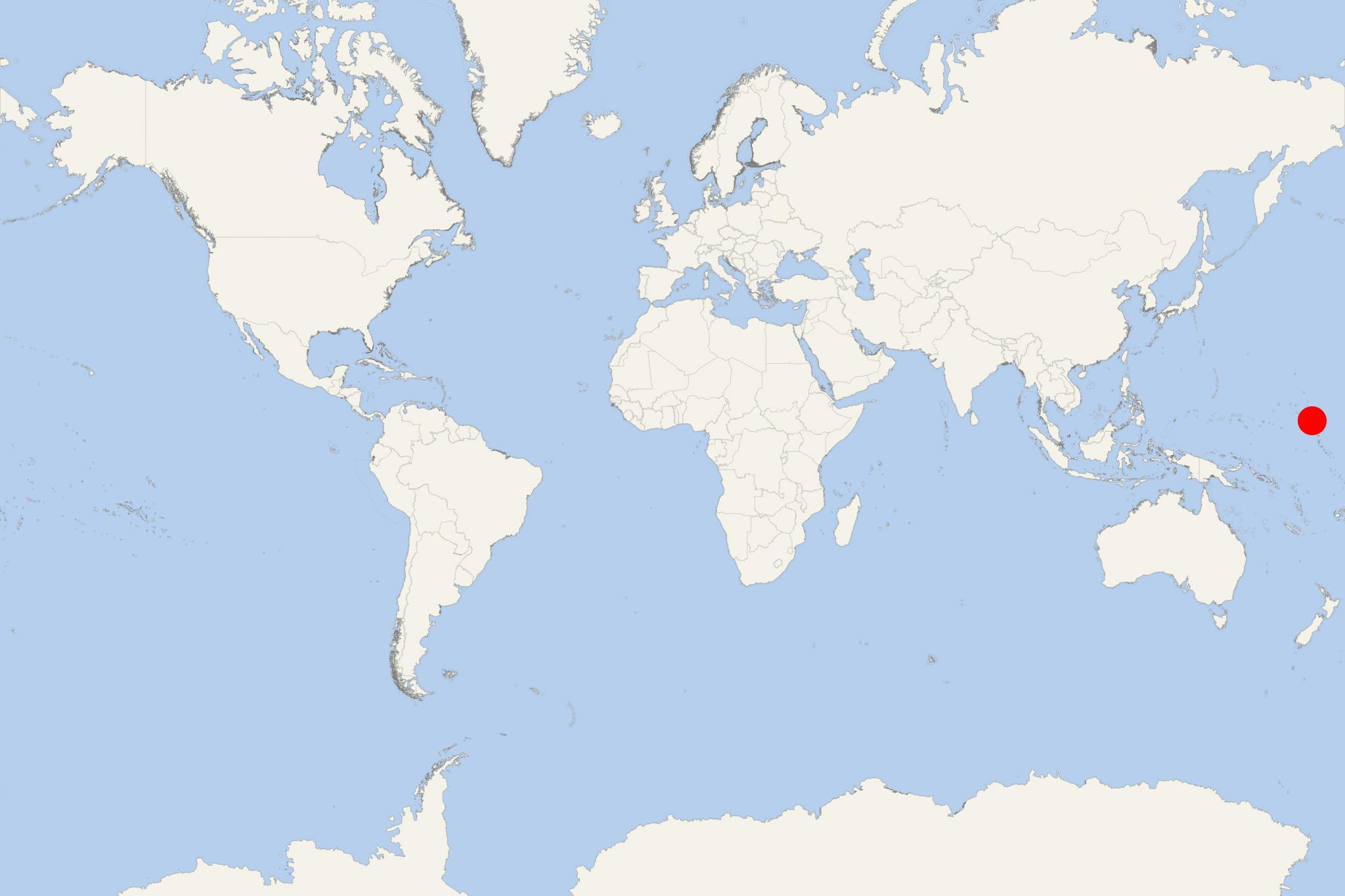
Majuro is the capital city and principal seaport (locode MHMAJ) of RMI (Republic of the Marshall Islands) - an independent country in the North Pacific Ocean consisting of 5 islands and 29 atolls. The port city is on the Majuro Atoll (land area approx 10 km2 / 4 mi2) which narrow land encloses a lagoon (water area approx 295 km2 / 114 mi2). Marshall Islands are bordered by Wake Island USA (north), Kiribati (southeast), Nauru (south) and FSM-Micronesia (west). RMI has population around 60,000, of whom around half live on Majuro Atoll. Most Marshallese are Christian, the majority being Protestants.
Port Majuro is one of the world's largest ports for tuna transshipment (around 310,000 tons annually). Majuro Lagoon actually acts as a harbor allowing anchorage for cargo carriers, fishing ships and smaller boats, cruise vessels, sailboats and luxury yachts.
In Majuro are registered many cargo ships and some cruise vessels (including all ships operated by Oceania Cruises) making the Marshall Islands their flag-state. According to global shipping industry data, the Marshallese ship registry is currently ranked the world's second-largest (by the number of registered in Majuro vessels) - following only Panama (registry port Colon). The world's third- and fourth-largest flag-states are The Bahamas (registry port Nassau) and Liberia (Monrovia).
"Majuro City" (Delap-Uliga-Djarrit) is spread over 3x contiguous islets/small isles. On Majuro Island are the country's principal seaport and the Marshall Islands Airport (aka Amata Kabua Airport). The airport currently serves two international operators (Nauru Airlines, United Airlines) offering regular flights linking with Hawaii (Honolulu/Oahu Island), Nauru, FSM-Micronesia (island states Chuuk, Kosrae, Pohnpei), Kiribati (Tarawa Atoll), Guam Island (USA). Domestic flights (by Air Marshall Islands/the country's air carrier) link to Ailuk Atoll, Ailinglaplap Atoll, Aur Atoll, Bikini Atoll, Ebon Atoll, Kwajalein Atoll, Mili Atoll, Enewetak Atoll, Jaluit Atoll, Maloelap Atoll, Kili Island, Kwajalein Atoll, Lae Atoll, Namu Atoll, Taroa Island, Mejit Island, Mili Atoll, Namdrik Atoll, Rongelap Atoll, Ujae Atoll, Utirik Atoll, Wotho Atoll, Wotje Atoll.
The next map shows all islands and atolls part of RMI.
Marshall Islands' economy is heavily based on shipping (fees collected as flag-state from numerous commercial vessels) and agriculture (export, including coconuts, tomatoes, melons, fruits), meat and livestock (mainly pigs and chickens). The country's main industries are services (~90% of the GDP), copra production (dried coconut kernels), commercial fishing, fisheries (tuna processing), tourism.
In 2018, the Marshall Islands became the world's first country to issue its own cryptocurrency (called "Sovereign"). The country also experiments with coconut oil as fuel (for ships, vehicles, electricity generators) as most islands are covered with coconut trees and the copra (dried kernels from 6-10 coconuts) produces ~1L oil.
- Cruise Industry

Auctioned cruise ship World Dream renamed Manara after its sale to Cruise Saudi
Cruise industry sources in Singapore state that the 150,700 GT cruise ship World Dream (2017-built for GHK's Dream Cruises), which was delivered...
March 6, 2023 - Cruise Industry

Holland America Introduces Grand World Voyage 2021
The “Grand World Voyage” aboard Holland America's liner MS Amsterdam will be circling the globe for 128 days. The epic world cruise is...
October 17, 2019 - show more news
