Manitoulin Island (Little Current, Ontario Canada)
Cruise Port schedule, live map, terminals, news
Region
Canada and USA Rivers
Local Time
2026-02-11 04:55
 24°F
24°F -4.7°C

 Mod. breeze
6.1 m/s
 31 °F / -0 °C
 20 °F / -6 °C
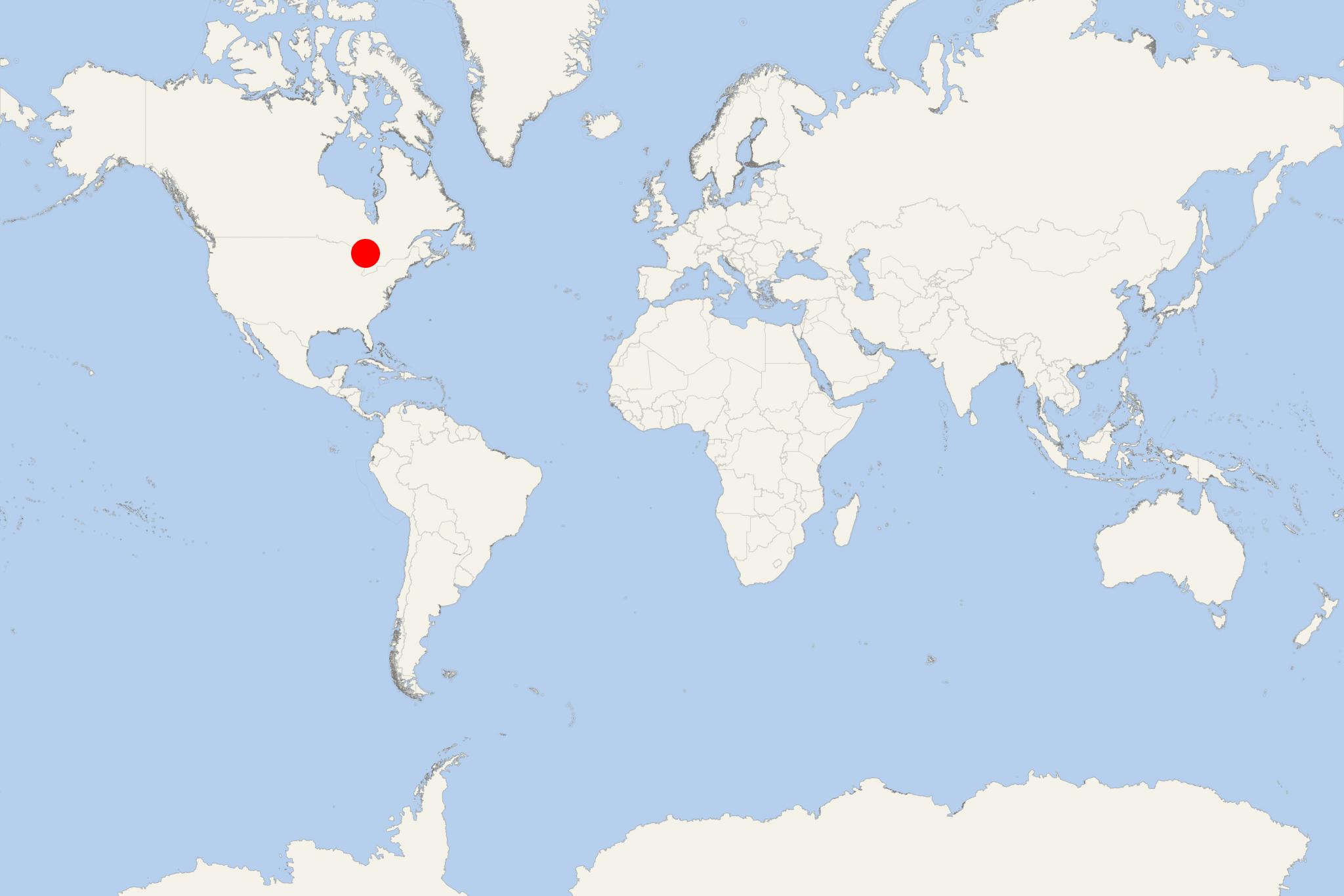
Manitoulin Island is located in Lake Huron (Canada's Ontario province) part of the Great Lakes Waterway. The island covers a total area of approx 2766 km2 (1068 mi2) and has population around 13,000. Its main port town is Little Current (on the island's northern coast) with population around 3,000.
A regularly scheduled ferry service (car and passengers) connects Manitoulin to Tobermory.
Manitoulin is the world's largest freshwater lake island. Its current name is the English version of "Manidoowaaling" - historic Odawa name meaning "cave of the spirit". It was named for an underwater cave where a spirit was said to live. The same word, (with newer pronunciation) is used for Manitowaning town on Manitoulin Island, located close to the underwater cave where the spirit dwelled. The contemporary Odawa name for the island is Spirit Island (Mnidoo Mnis).
The island has a number of lakes. By size, 3 are the largest and most prominent lakes - Manitou, Kagawong and Mindemoya. Each of them has islands within, the largest being Lake Mindemoya's Treasure Island (82 acres / o,33 km2 / 0,13 mi2) in the centre of Manitoulin.
During summer, the island's population grows by over 1/4 as many tourists come for boating and other activities. On August's long weekend each year, the island hosts the Haweater Festival, featuring craft shows, firework shows, parades and fun competitions (including horse pulls).
Manitoulin Island cruise terminal
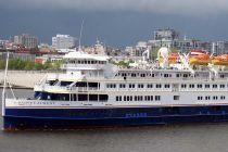
Cruise ships to Manitoulin Island Canada dock (anchor) at Little Current - port town on the northern coast.
- Cruise Industry

American Queen Voyages celebrates maiden arrival of Ocean Navigator at Chicago’s Navy Pier
AQV-American Queen Voyages celebrated the maiden arrival of its Ocean Navigator ship, with her first passengers arriving at Navy Pier in downtown...
May 20, 2022 - Accidents

Hapag-Lloyd Cruises cancels Great Lakes voyage
A cruise ship call at Thunder Bay (Sault Ste Marie, Ontario Canada) and Manitoulin Island (Little Current, Ontario Canada) scheduled for early-June...
April 30, 2020 - show more news
