Metlakatla (Annette Island Alaska)
Cruise Port schedule, live map, terminals, news
Port Metlakatla cruise ship schedule shows timetable calendars of all arrival and departure dates by month. The port's schedule lists all ships (in links) with cruises going to or leaving from Metlakatla, Annette Island Alaska. To see the full itineraries (ports of call dates and arrival / departure times) and their lowest rates – just follow the corresponding ship-link.
| Day | Ship | Arrival | Departure |
|---|---|---|---|
| 9 June, 2026 Tuesday | 08:00 | 16:00 |
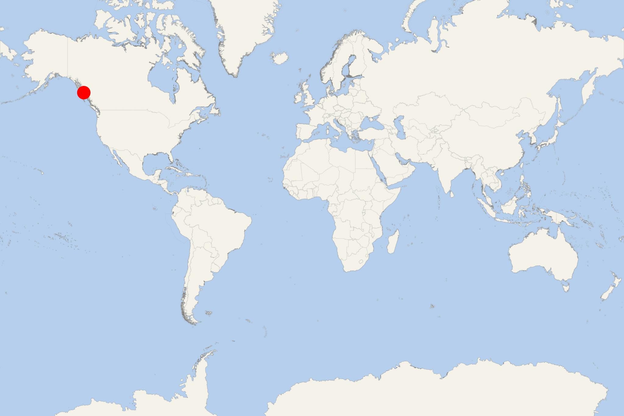
Annette Island (Metlakatla port locode UMETL), aka Tlingit/Winter Town, is one of Alaska's Gravina Islands (Alexander Archipelago) in the Pacific Ocean. The island is located on Alaska's southeastern coast. It has similar length and width (approx 18 km / 11 ml) and covers a total land area of approx 332.6 km2 (128 ml2). Most of the population (around 1500, Tsimshian people) lives in the port town of Metlakatla (the largest settlement).
Annette Island Reserve (Metlakatla Indian Community) is currently the only remaining Alaskan Indian reservation as the locals voted to not give up their lands under the Alaska Native Claims Settlement Act. Metlakatla was founded by William Duncan (an Anglican church missionary / Church Missionary Society member). Since the late 19th century, Annette Island is an Indian reservation territory.
Most of the island is served by a network of unimproved roads and trails developed during logging activities. There is a 24 km (15 ml) long cross-island road and an airfield (a USCG base). The main road connects Metlakatla with the side facing Ketchikan, where is a ferry port (landing area) allowing access to to mainland Alaska via ferries. Metlakatla is also served by the Ketchikan Airport (Gravina Island, Inside Passage).
Metlakatla cruise terminal
Cruise ships to Annette Island dock (anchor) at Metlakatla - port town on the western coast.
- Cruise Industry

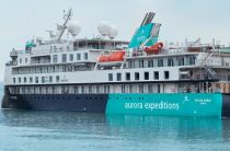
Aurora Expeditions' new cruises for Sylvia Earle ship in 2022
Aurora Expeditions launched a new lineup of expeditions for 2022. Early-bird bookings receive savings of 25% off. The small-ship company will...
January 27, 2021 - Cruise Industry

Alaska Dream Cruises introduces 2021 Inside Passage Sojourn
The small ship company Alaskan Dream Cruises introduced its 2021 Inside Passage Sojourn itinerary. Passengers are invited to explore Sitka AK, which...
September 29, 2020 - show more news

 40°F
40°F 
 Mod. breeze