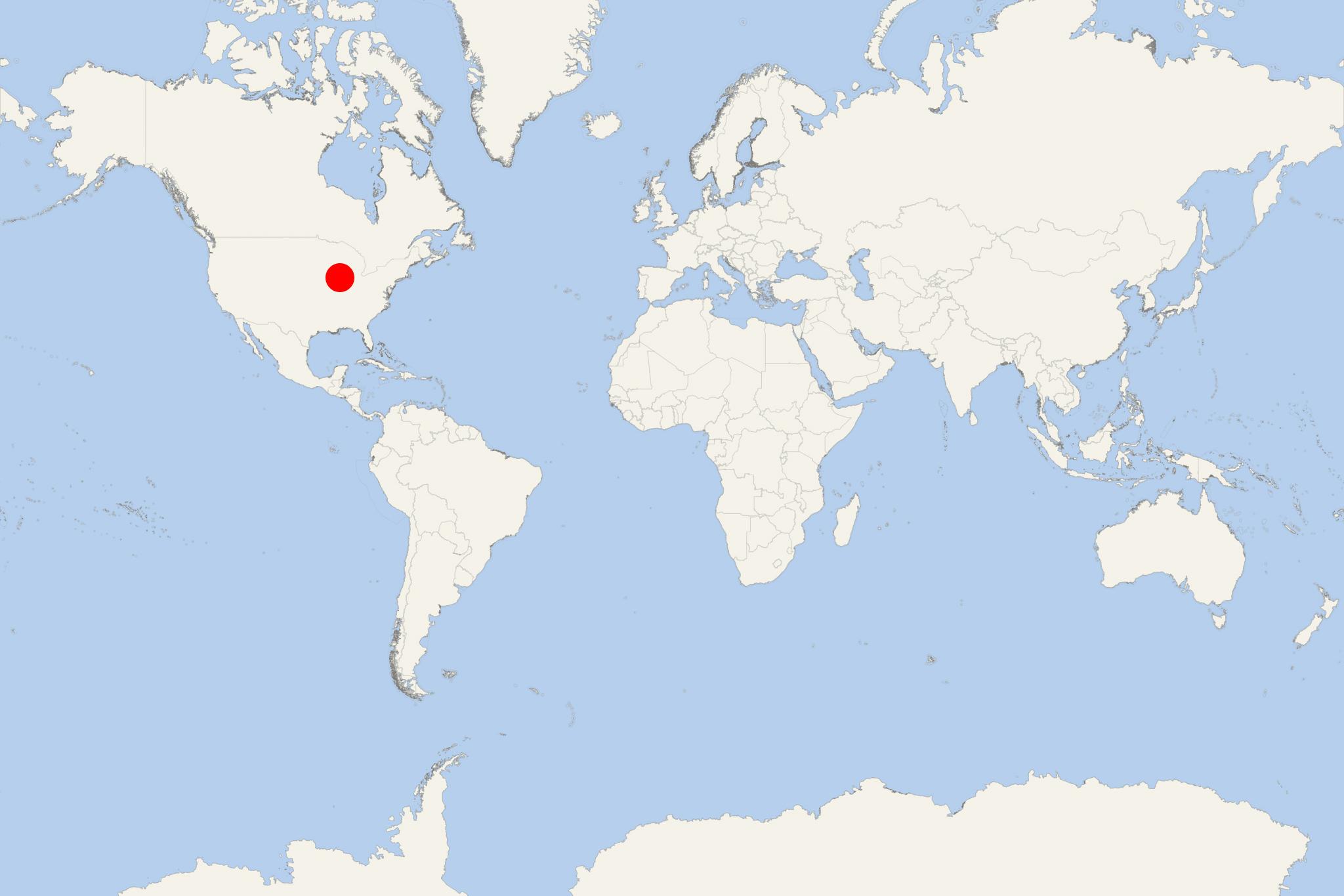
Ottawa IL (Illinois)
Cruise Port schedule, live map, terminals, news
Region
Canada and USA Rivers
Local Time
2025-04-06 03:24
 36°F
36°F 2.3°C

 Gentle breeze
4.6 m/s
 48 °F / 9 °C
 32 °F / 1 °C
Ottawa IL is an Illinois River/Mississippi River cruise port and city in Illinois USA (LaSalle County) with population around 19,000. Downtown Ottawa is at the confluence of two rivers (Illinois and Fox). Ottawa is approx 80 mi / 130 km to the southwest of downtown Chicago (Illinois' largest and the USA's 3rd-largest city - after NYC New York and LA California) on Lake Michigan.
As cruise port, Ottawa IL is included in the schedule of AQV-American Queen Voyages/fka AQSC-American Queen Steamboat Company.
Next table shows AQV ship's American Countess itinerary (8-night/9-day "Ottawa to St Louis Cruise Tour"/and the reverse) that starts or ends in Ottawa. Complimentary shore excursions are provided in all visited ports/cities.
| Date / Time | Port |
|---|---|
| DAYS 1-2-3 (overnight) | Departing from Ottawa, Illinois (pre-cruise hotel stay) |
| DAY 4 | Peoria, Illinois |
| DAY 5 | Havana, Illinois |
| DAY 6 | Illinois-Mississippi river cruising |
| DAY 7 | Hannibal, Missouri |
| DAY 8 | Grafton, Illinois |
| DAY 9 | Arriving in St Louis, Missouri (debarkation in Alton IL) |
The voyage is priced from ~US$3600 per person.
Ottawa IL's economy is largely based on glass and abrasives making (including automotive glass manufacturing) due to the region's large silica sand deposits (extracted from several quarries).
The city's many registered historic homes and landmarks and the Starved Rock State Park (2630 acres / 10,64 km2 / 4,1 mi2 / 1064 hectares) make it a popular destination for domestic tourism. Located southeast of Utica (Deer Park Township), Starved Rock runs along the Illinois River's south bank and is annually visited by 2+ million people.
Illinois River
Illinois River is one of the Mississippi's principal tributaries and has length ~ 273 mi (439 km). Illinois River originates in Chicago (Lake Michigan), flowing to the southwest across Illinois and emptying into the Mississippi River near Grafton. In the 18th-19th-centuries, the Illinois River has always been an important trade waterway connecting the Mississippi with Lake Michigan (the Great Lakes). The river's importance for commercial shipping increased since the opening (in 1848) of the "Illinois and Michigan Canal" (length 96 mi / 154 km) connecting with the Chicago River and running between Chicago IL (Bridgeport neighborhood) and LaSalle IL. The Canal's transportation operations ceased in 1900 when was opened the "Chicago Sanitary and Ship Canal"/aka Chicago Drainage Canal (length 28 mi / 45 km) connecting the rivers Chicago and Des Plaines. With the Chicago Drainage Canal (1907-extended), the Chicago River's flow was reversed (now out of Lake Michigan).
In 1933 was completed and opened of the Illinois Waterway (length 336 mi / 541 km) connecting Calumet River (Chicago) and the Illinois River (Grafton). The waterway has 8x locks, the upper/first one (T.J. O'Brien lock and dam in Chicago IL) is approx 7 mi / 11 km from Lake Michigan, while the lower/last one (LaGrange lock and dam in Beardstown IL) is 90 mi / 140 km from the Mississippi. The other 6 locks and dams are in the IL's towns Lockport (Lockport), Joliet (Brandon Road), Morris (Dresden Island), Marseilles (Marseilles), North Utica (Starved Rock) and Peoria (Peoria).
