Pagan Island Marianas
Cruise Port schedule, live map, terminals, news
Region
Australia - New Zealand - Pacific Ocean Islands
Local Time
2025-04-03 16:02
 81°F
81°F 27°C

 Gentle breeze
4.4 m/s
 81 °F / 28 °C
 79 °F / 27 °C
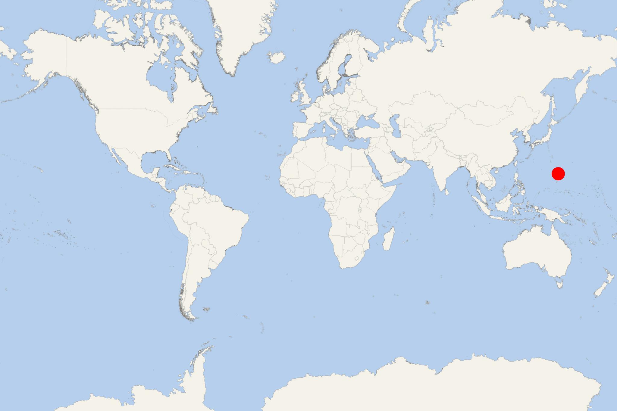
Pagan Island is part of Mariana Islands/aka Marianas (USA commonwealth/unincorporated dependent territory) in the North Pacific Ocean. The island has total area approx 47 km2 (18 mi2) and is uninhabited since 1981, when all its population was evacuated due to volcanic eruptions.
Pagan Island belongs to the Commonwealth of Northern Mariana Islands. It was formerly inhabited, but the inhabitants were evacuated because of volcanic eruptions in 1981. The island is served by Pagan Airstrip ((public airport) in the eastern part, near Shomu-Shon village. The airport has a single runway (457x37 m / 1500x120 ft) covered with turf and gravel. The airport serves mainly air taxis (charter flights) and some general aviation.
Pagan Island is approx 320 km (200 mi) north of Saipan/Northern Mariana Islands' main) and is the 4th largest of the archipelago. It is actually a double island that consists of two stratovolcanoes joined via a narrow strip of land with a width of just 600 m (1968 ft).
Pagan has 2 large lakes. In the 1970s, Inner Lake/Laguna Sanhalom had an area of 17 hectares (42 acres) and depth 23 m (75 ft). Laguna Lake/Laguna Sanhiyon (on the west coast) had an area of 16 hectares (40 acres) and depth 20 m (66 ft). Both lakes feature brackish water.
In 2013 the United States Naval Command filed a proposal to obtain Pagan for a new group of live-fire and maneuver RTAs (Ranges and Training Areas). The proposal spawned the online community Our Islands are Sacred as well as petition on Change.org. Rallies against it were held by Roots Action, Save Pagan Island, Sierra Club, Care2Make a Difference.
