Paramushir Island Kurils (Russia)
Cruise Port schedule, live map, terminals, news
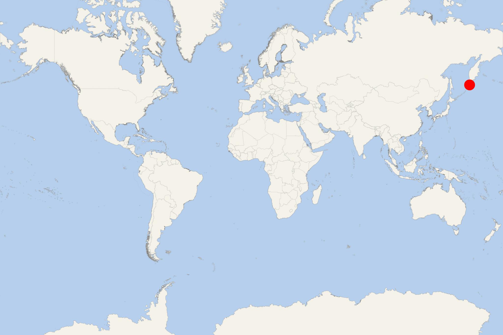
Paramushir Island is located in Sea of Okhotsk, in the northern part of Kuril Islands group (northwest Pacific Ocean).
The island covers a total area of approx 2053 km2 (793 mi2) and has population around 3,000.
Paramushir's northern tip is 39 km (24 mi) from Cape Lopatka - the southern tip of Kamchatka Peninsula.
Island's name derives from Ainu language (meaning “broad/populous island”). Severo-Kurilsk is the only permanently populated settlement on the island.
The island is roughly rectangular, and by territory ranked Kuril Islands' 2nd largest - after Iturup (3280 km2, population around 7,000). Paramushir is a continuous chain of 23 volcanoes, of which 5 are active. The highest elevation point (Chikurachki) is 1816 m (5958 ft).
Paramushir was inhabited by the Ainu people when the Japanese discovered the island and included it in the Matsumae territories (feudal domain during Japan's Edo period / 17th century).
In November 1952, the original Severo-Kurilsk was destroyed by a tsunami, then rebuilt in another location. After USSR's dissolution (1990), the island's population decreased and most villages along the coast are now ghost towns. The island is administered as part of the Russian Federation's Sakhalin Oblast.
Paramushir Island Kurils cruise terminal
Cruise ships to Paramushir Island dock (anchor) at Severo-Kurilsk on the eastern coast.
- Cruise Industry

Crystal Endeavor to Make 3 Japan-Based Cruises from Tokyo 2020
The expedition ship Crystal Endeavor, designed to cruise to Antarctic Peninsula, Adelie Coast, Ross Sea, South Georgia (UK), Falkland Islands...
June 19, 2019 - show more news

 35°F
35°F 
 Light breeze