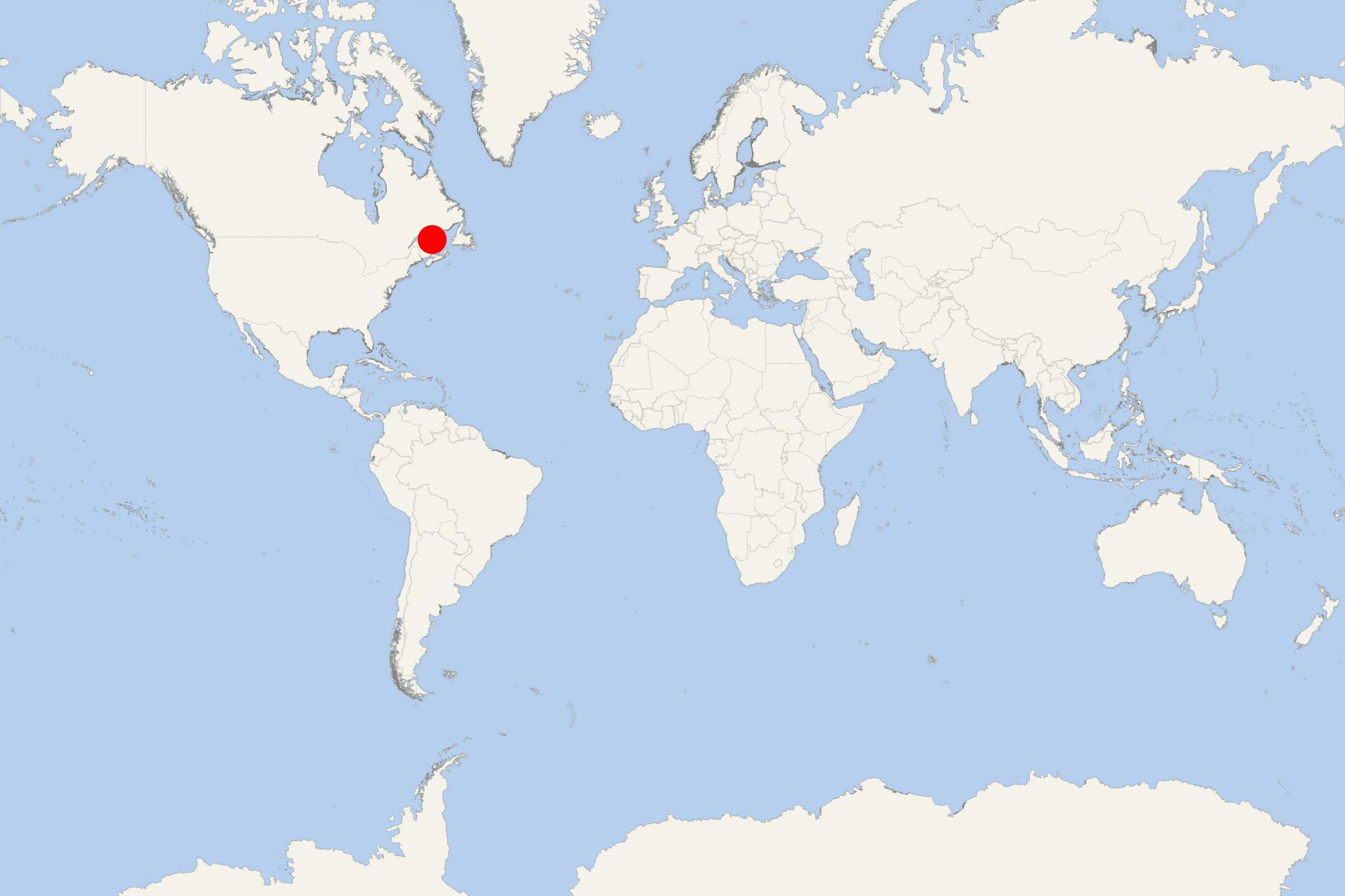
Perce QC (Quebec Canada)
Cruise Port schedule, live map, terminals, news
Region
East Coast USA and Canada New England
Local Time
2025-03-14 14:21
 32°F
32°F 0.1°C

 Mod. breeze
6.4 m/s
 34 °F / 2 °C
 21 °F / -5 °C
Perce (Quebec, Canada) is a town in the Saint Lawrence Gulf, where St Lawrence River flows in the Atlantic Ocean. The town is located near Gaspe Peninsula's tip, best known for the Perce Rock/Rocher Perce - a huge limestone rock formation with steep faces on all sides. Perce Rock is one of the world's largest sea stack/water-based natural arches (max height 88 m / 289 ft, length 433 m / 1421 ft, width 90 m / 300 ft), as well as Quebec's natural icon and one of the state's most visited tourist attractions.
At low tide, Perce Rock links to the mainland via a sandbar. Bonaventure Island (Ile Bonaventure) is approx 5 km (3,1 mi) southeast of Perce Rock and faces Pierce Town. The island is roughly circular in shape, with total land area approx 4,2 km2 (1,6 mi2). The island is also a popular tourist destination, housing around 220 different bird species (including migratory) and has one of the world's largest gannet colonies (~52000 pairs).
Perce Town's main industries are fishing and tourism. Whale watching in the bay is also popular.
As cruise port, Pierce QC is usually visited in the autumn, and often included in the schedule of the French ultra-luxury cruise company Ponant.
Perce QC tours, shore excursions, hotels
City Tours and Shore Excursions
Perce Rock, Bonaventure Island
