Petermann Island Antarctica
Cruise Port schedule, live map, terminals, news
Region
Arctic - Antarctica
Local Time
2025-04-14 11:54
 28°F
28°F -2°C

 Very Light
1.2 m/s
 31 °F / -0 °C
 25 °F / -3 °C
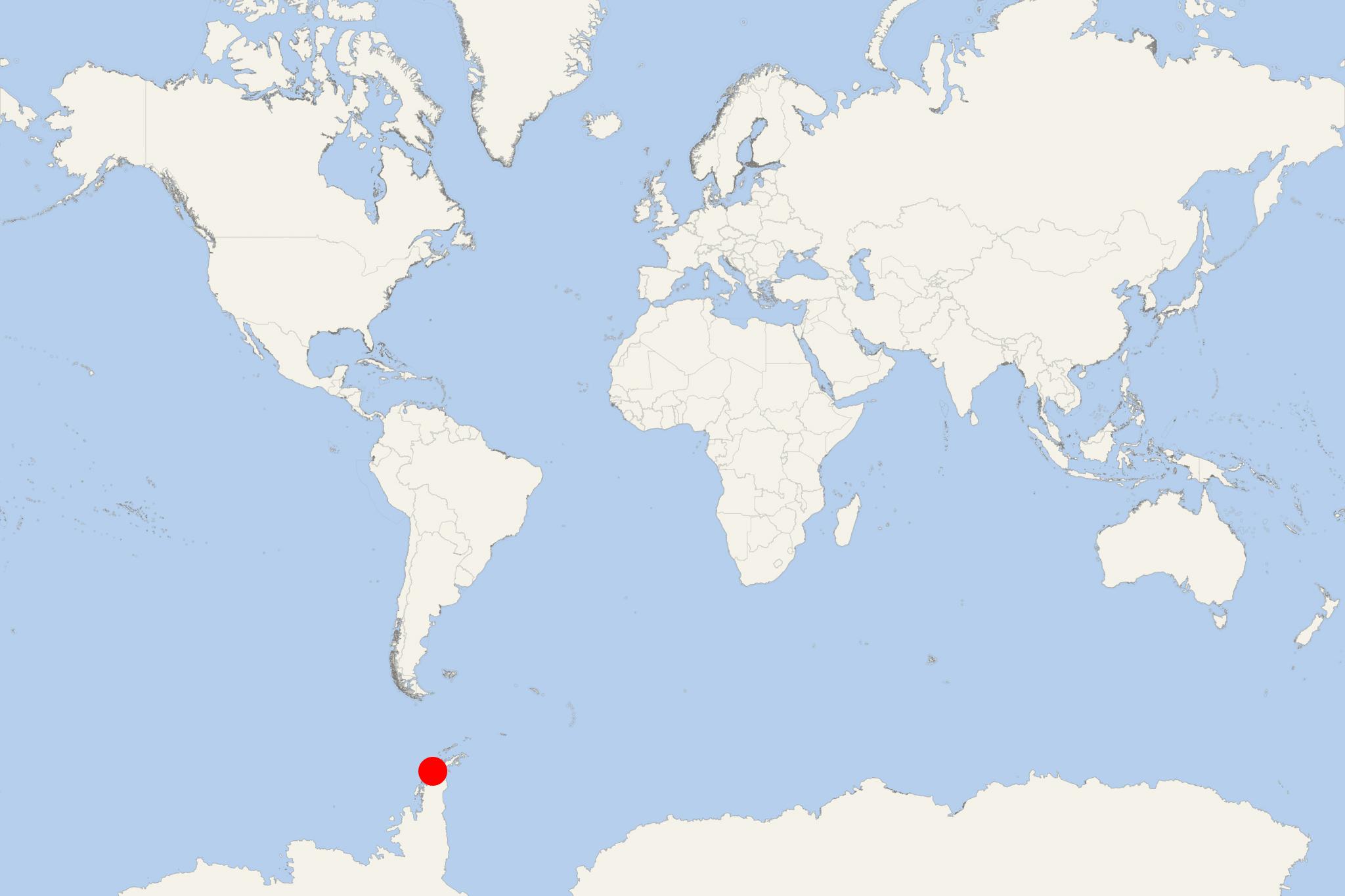
Petermann Island (Antarctica) is located off Kiev Peninsula's northwest coast (Graham Land, Antarctica). It is a short distance south of Lemaire Channel and (to northeast) Hogvaard Island and Booth Island. The island was discovered during a German expedition (1873-1874) and named after the cartographer August Petermann (1822-1878).
The island has length of 1,8 km (1,1 ml), width of 1,2 km (0,7 ml) and rises steeply from a rocky coastline with pebble beaches to 250 m elevations. Nearly half the land surface is icecapped. Free of ice areas are covered with sparse vegetation (lichens and mosses). Petermann is designated IBA (Important Bird Area) for supporting a breeding colony of around 3,000 pairs of gentoo penguins (long-tailed). Other nesting birds here include Adelie penguins, Wilson's storm petrels, south polar skuas, imperial shags.
The French Antarctic Expedition (1908-1910) wintered over aboard a ship in a cove on island's southeastern side (named Port Circumcision). Huts created by the expedition are now gone, although a cairn still remains, alongside a refuge hut built by Argentina in 1955.
Lemaire Channel
Lemaire Channel is located between Kiev Peninsula (Graham Land, Antarctica) and Booth Island. This strait is one of Antarctica's most popular cruise ship destinations. The mesmerizing scenery is marked by steep cliffs descending to the iceberg-filled waters of the passage.
Lemaire Channel's length is 11 km (7 ml). Its width is 1,6 km (5300 ft) at the narrowest point. The channel was first passed through by the Belgica ship during the Belgian Antarctic Expedition (December 1898). Then it was named after Charles Lemaire (Belgian officer and explorer of Congo, Africa).
The channel is a standard part of most Antarctica cruise itineraries. This is a fairly protected area with calm sea waters. It is used by ships to reach Petermann Island for tourist landings via Zodiacs (large-capacity inflatable boats). However, sometimes (especially in late Spring-early Summer) the passage is filled with icebergs, forcing the Petermann Island bound vessel to backtrack and sail around Booth Island.
