Pleneau Island Antarctica
Cruise Port schedule, live map, terminals, news
Region
Arctic - Antarctica
Local Time
2025-02-24 06:44
 24°F
24°F -4.5°C

 Mod. breeze
7.3 m/s
 30 °F / -1 °C
 21 °F / -6 °C
CruiseMapper currently has no ship schedule for Port Pleneau Island Antarctica ()
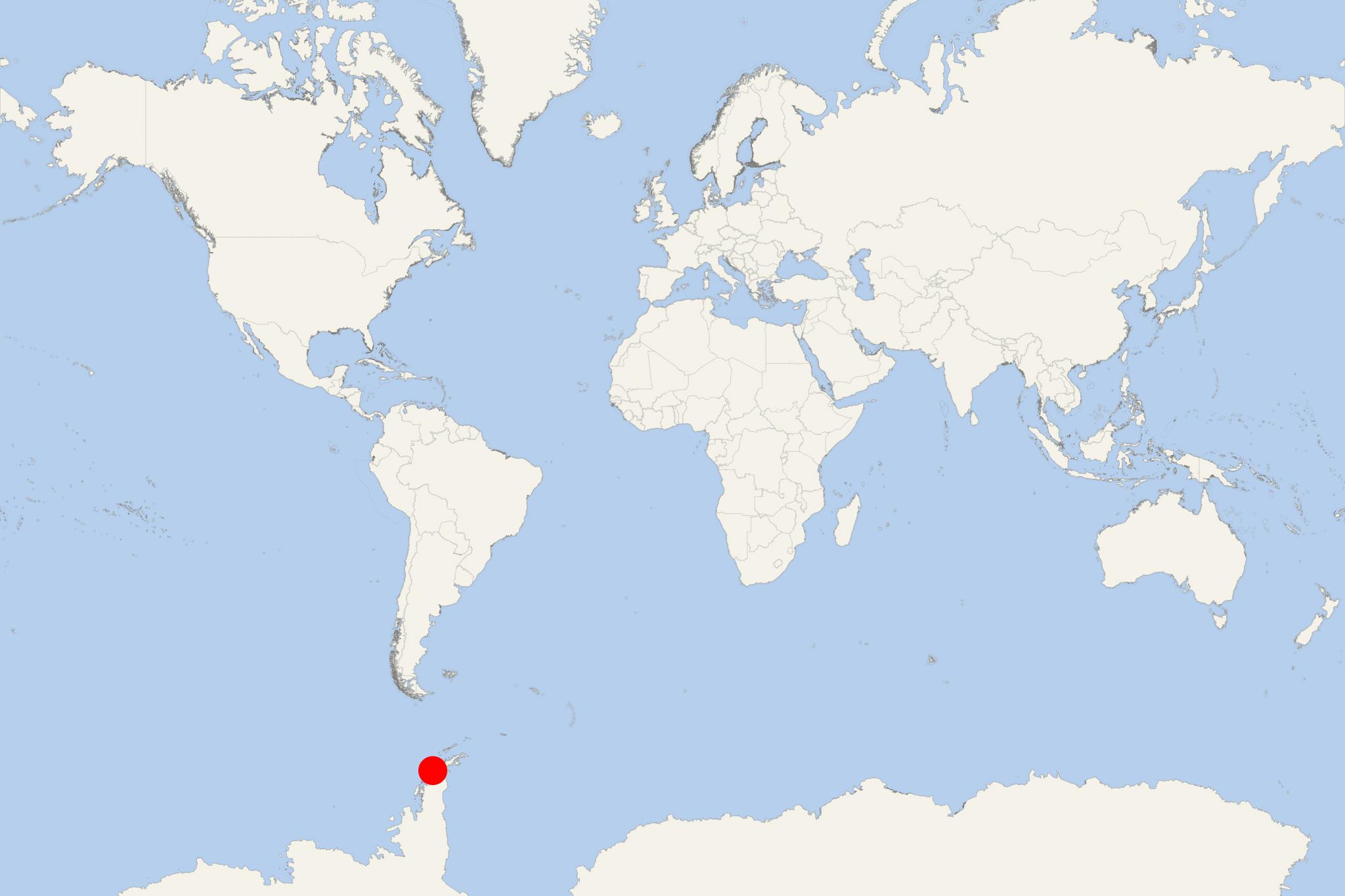
Pleneau Island is located northeast of Hovgaard Island, in Wilhelm Archipelago, located off the west coast of mainland Antarctica (Antarctic Peninsula).
- When first discovered, Pleneau was charted as peninsula of Hovgaard (to the south). This was during the French Antarctic expedition (1903–1905) led by Jean-Baptiste Charcot (1867-1936). Pleneau peninsula was first mapped as island on an Argentine chart published in 1957.
- The island has length 1,5 km (0,8 ml) and features a cobbled beach (eastern coast) with rock terraces sloping towards an icecap covering the western parts.
- Island's fauna is represented by nesting seabirds - south polar skuas, Dominican gulls, blue-eyed shags, Antarctic terns, Gentoo penguins. Cruise ship tourists may also see southern elephant seals. Grounded icebergs occupy Pleneau Bay (on the western shore).
- NOTE: Only cruise ships carrying 200 or fewer passengers are allowed to dock (anchor) at the island (one ship at a time, and a maximum of 3 ships per day, midnight to midnight). No more than 100 visitors are allowed ashore at any time with 1 guide per 20 visitors. No tourists are allowed ashore between 10:00 p.m. and 04:00 a.m. (local time), except for those engaged in organised overnight stays. These measures are in order to establish resting period for the wildlife. All visits have to be conducted in accordance with General Guidelines for visitors to the Antarctic. The ice cap may be crevassed and should only be visited with suitable equipment and appropriately qualified guides.
