Puerto Eden (Wellington Island Chile)
Cruise Port schedule, live map, terminals, news
Region
South America
Local Time
2025-04-13 17:11
 49°F
49°F 9.5°C

 Very Light
1.5 m/s
 51 °F / 11 °C
 37 °F / 3 °C
Port Puerto Eden cruise ship schedule shows timetable calendars of all arrival and departure dates by month. The port's schedule lists all ships (in links) with cruises going to or leaving from Puerto Eden, Wellington Island Chile. To see the full itineraries (ports of call dates and arrival / departure times) and their lowest rates – just follow the corresponding ship-link.
| Day | Ship | Arrival | Departure |
|---|---|---|---|
| 23 October, 2025 Thursday |
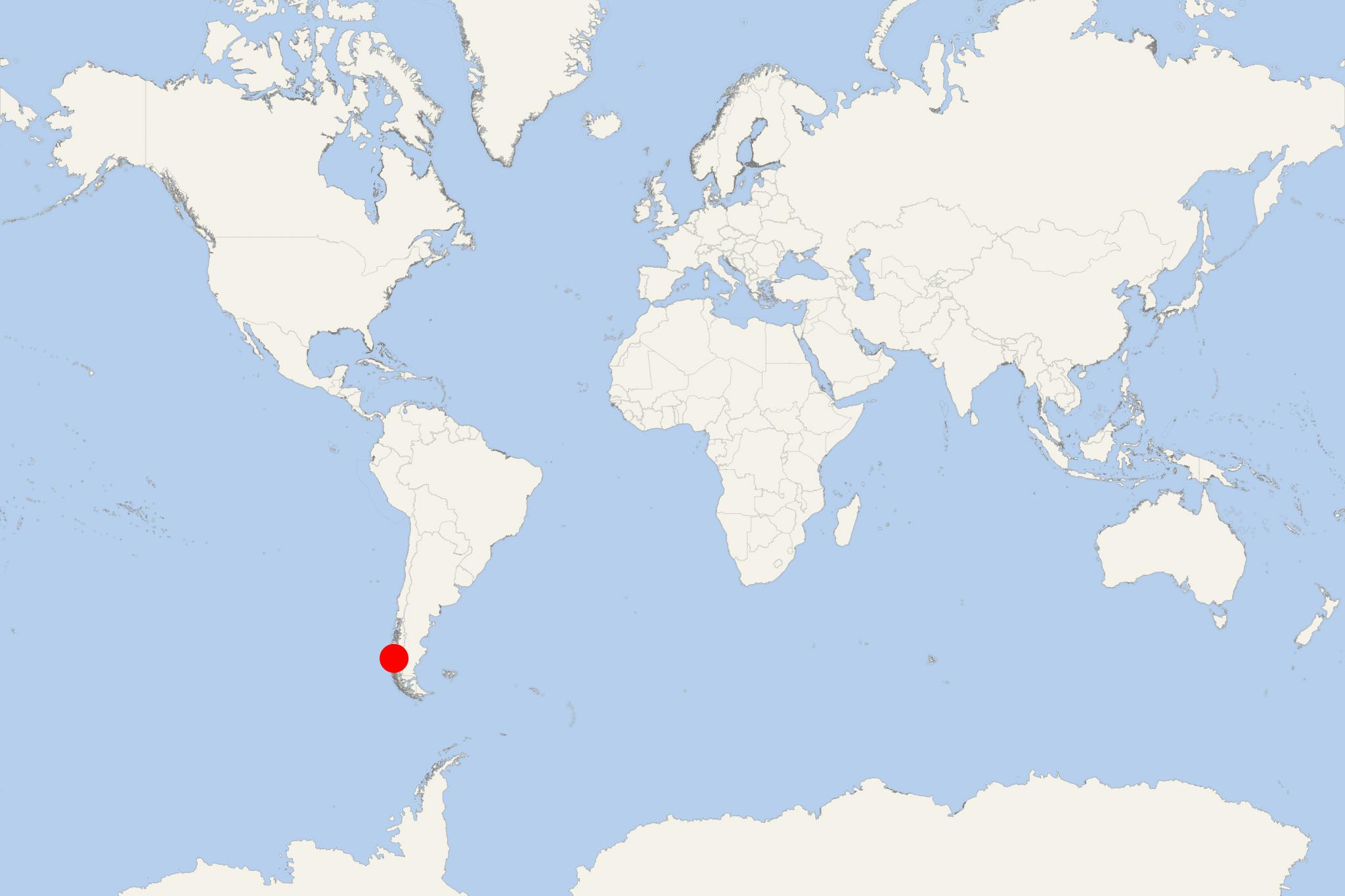
Puerto Eden is a small port village on Chile's Wellington Island (Magallanes Region, Ultima Esperanza Province) with population around 200. This is the only settlement where currently live the indigenous "canoe-people" Kaweshkar (aka Alacalufe) - nomadic seafaring people.
Puerto Eden is one the gateways/departure ports to Bernardo O'Higgins National Park - together with Puerto Natales, Caleta Tortel and Villa O'Higgins. Tourists can access the Bernardo O'Higgins NP only by sea and air (via cruise ships/tour boats or helicopters/seaplanes).
Puerto Eden is accessible only by sea, including by cruise ships and ferries - from Puerto Montt (north) and Puerto Natales (south). Once per month visits a ferryboat from Caleta Tortel.
As cruise port, Puerto Eden is often included in the seasonal Antarctic cruise schedule of Hurtigruten Expeditions. Itineraries usually include Chiloe Island Chile, Puerto Natales, Chilean Fjords/Patagonia (coastal cruising), Cape Horn and Drake Passage, the Antarctic Peninsula and the South Shetland Islands, Punta Arenas (homeport, with flights to/from Valparaiso-Santiago).
Due to the extraordinarily humid (subpolar oceanic) climate, Puerto Eden has no roads. The local economy is based on fishing. Once per week, the fish and shellfish products (mussels) are exported via a cargo boat. Puerto Eden is well-known as the place having the world's highest rainfall frequency.
Wellington Island has land area approx 5556 km2 (2145 mi2), coastline length 1597 km (992 mi), highest elevation 1463 m (4800 ft) and total population around 400 (all Kaweskar people). The island's only inhabited place is Villa Puerto Eden. Most of Wellington Island is part of Bernardo O'Higgins NP.
Bernardo O'Higgins is Chile's largest national park, with protected land area approx 3,526 million hectares (8,713M / 35259 km2 / 13614 mi2). The NP is part of Chile's Aysen Region and Magallanes Region/Chilean Antarctica.
Neighboring national parks are Los Glaciares (Argentina's Santa Cruz Province) and Torres del Paine (Chilean Patagonia) to the east, and the Chilean nature reserves Laguna San Rafael (to the north), Kawesqar (fka Alacalufes NP, to the southwest) and Katalalixar (northwest).
Bernardo O'Higgins NP is located between Baker Channel and Channel/Fjord of the Mountains (west of Puerto Natales). Its scenery is marked by narrow fjords (penetrating deeply into the mountains, the most visited by tourists is Ultima Esperanza Sound/Eberhard Fjord), glaciers (from the Southern Patagonian Ice Field, including Pio XI Glacier - the largest outside Antarctica), subpolar forests (mainly the tree species guindo, lenga beech, Antarctic beech, canelo/winter's bark). Wildlife includes the endangered South Andean deer (aka Southern Guemal/Chilean Huemul), Andean Condors, Marine Otters, Cormorants.
Puerto Eden cruise terminal
Cruise ships to Wellington Island dock (anchor) at Puerto Eden - port town on the eastern coast.
